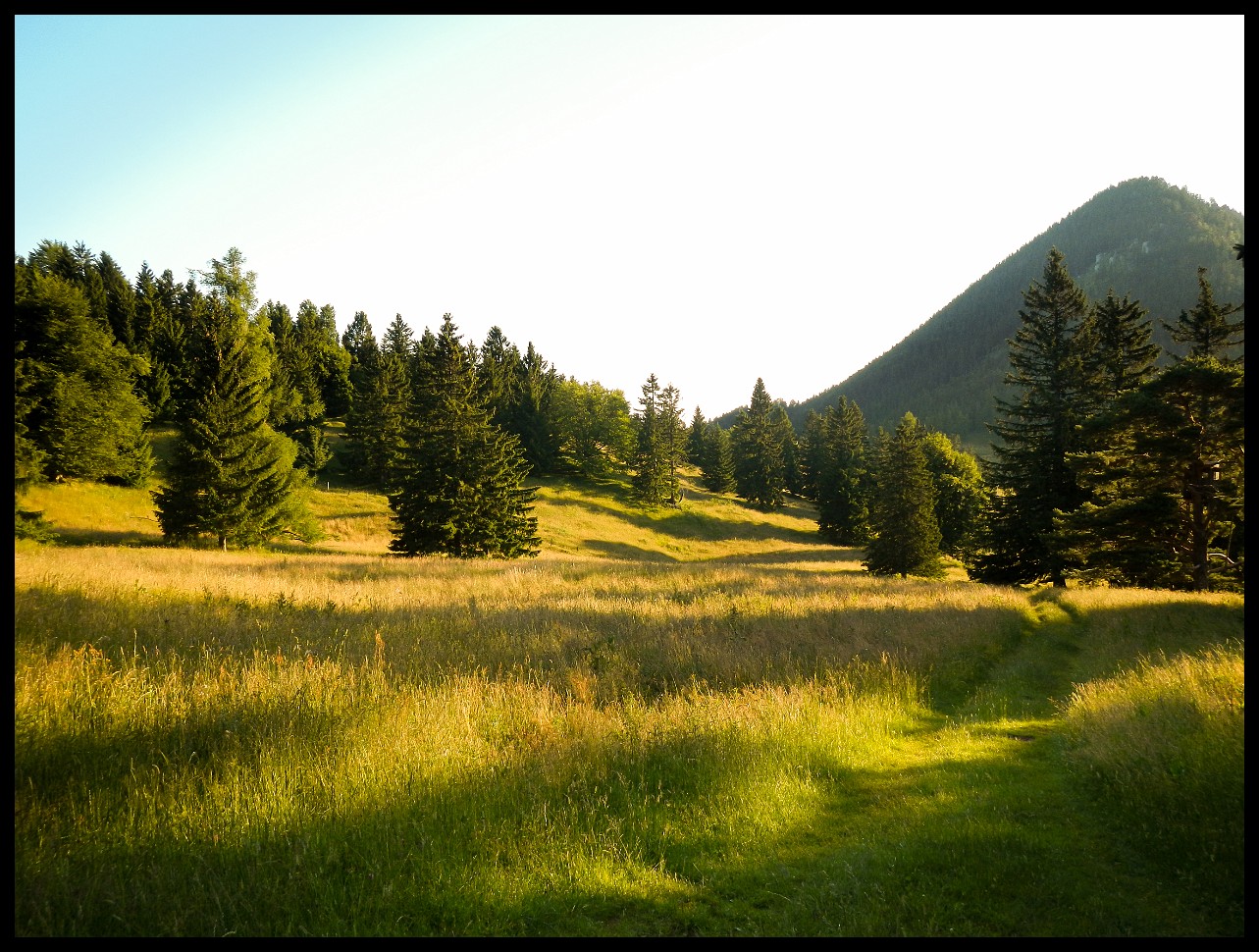
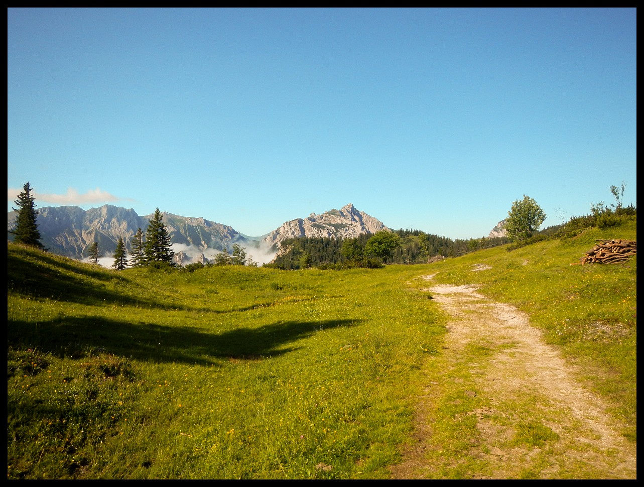
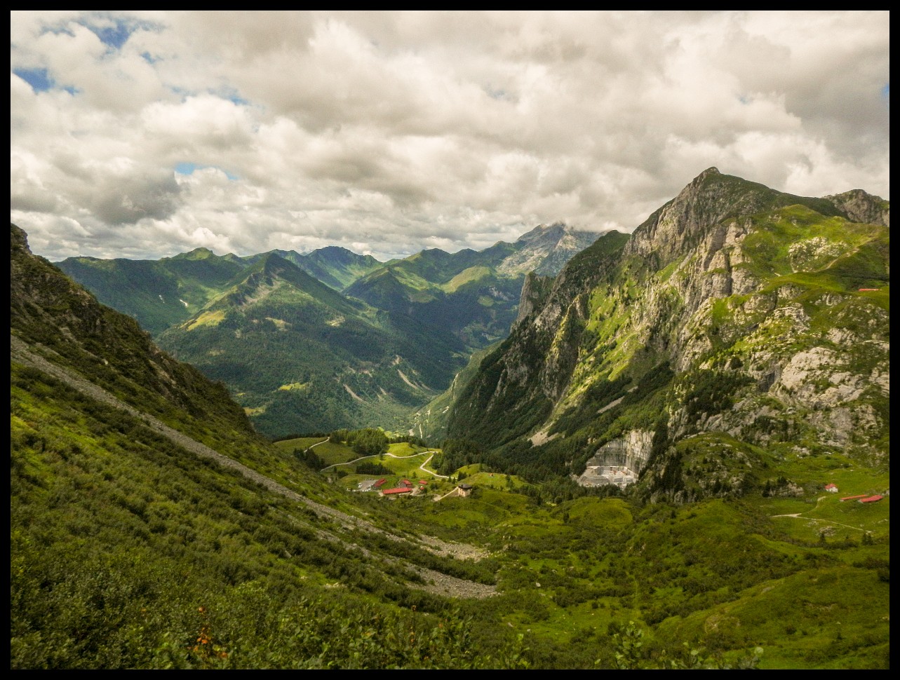
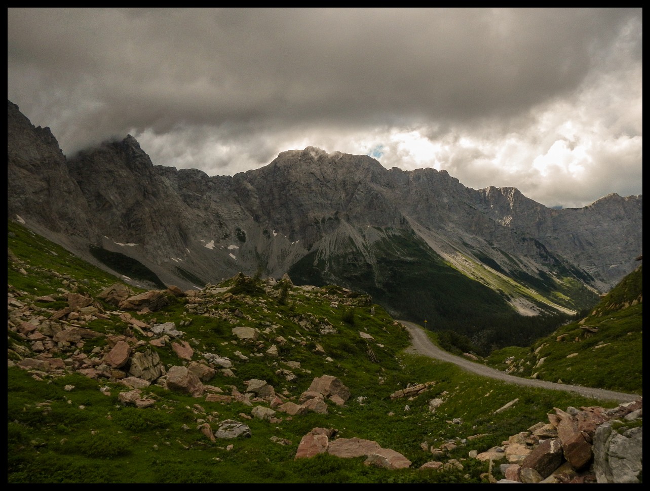
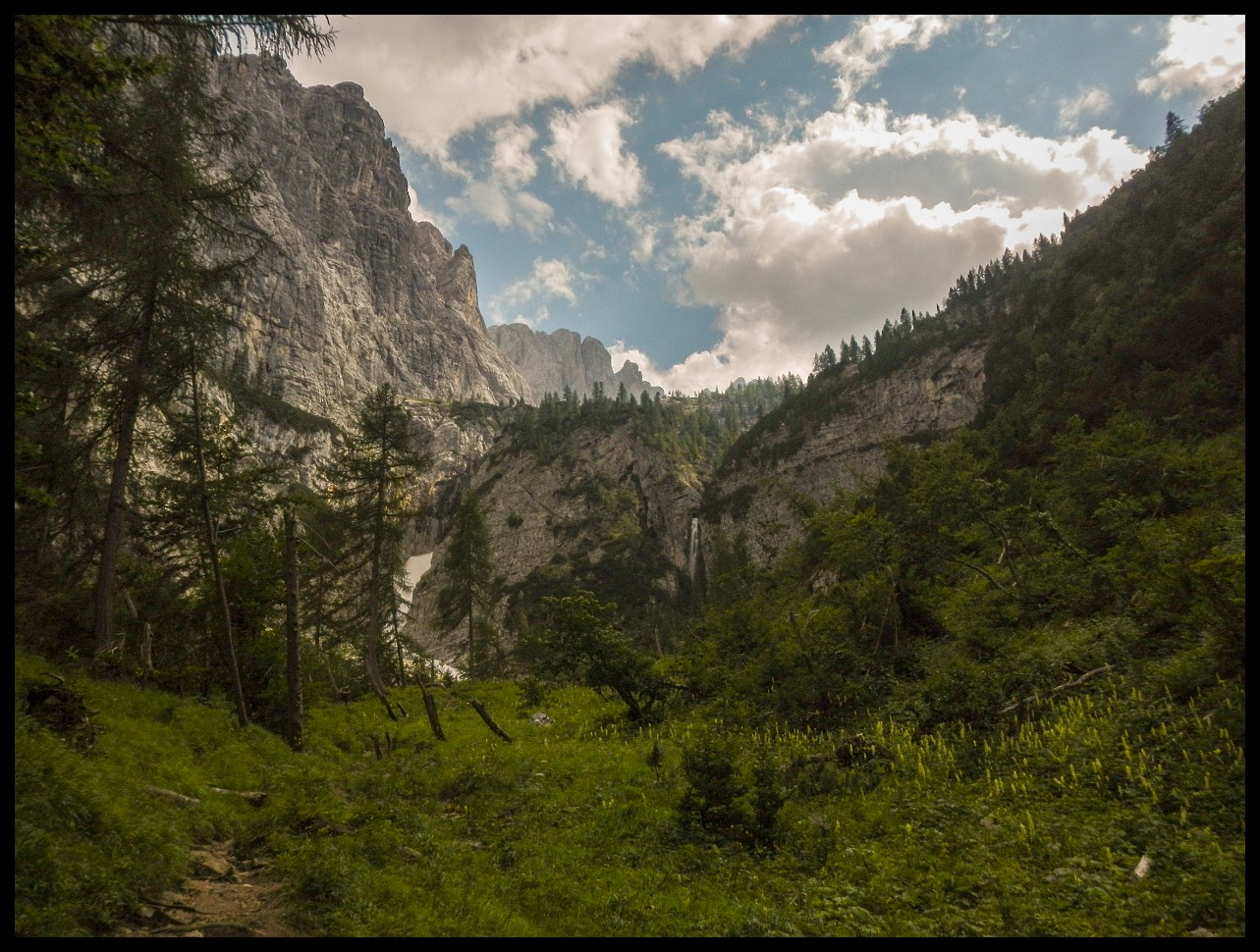
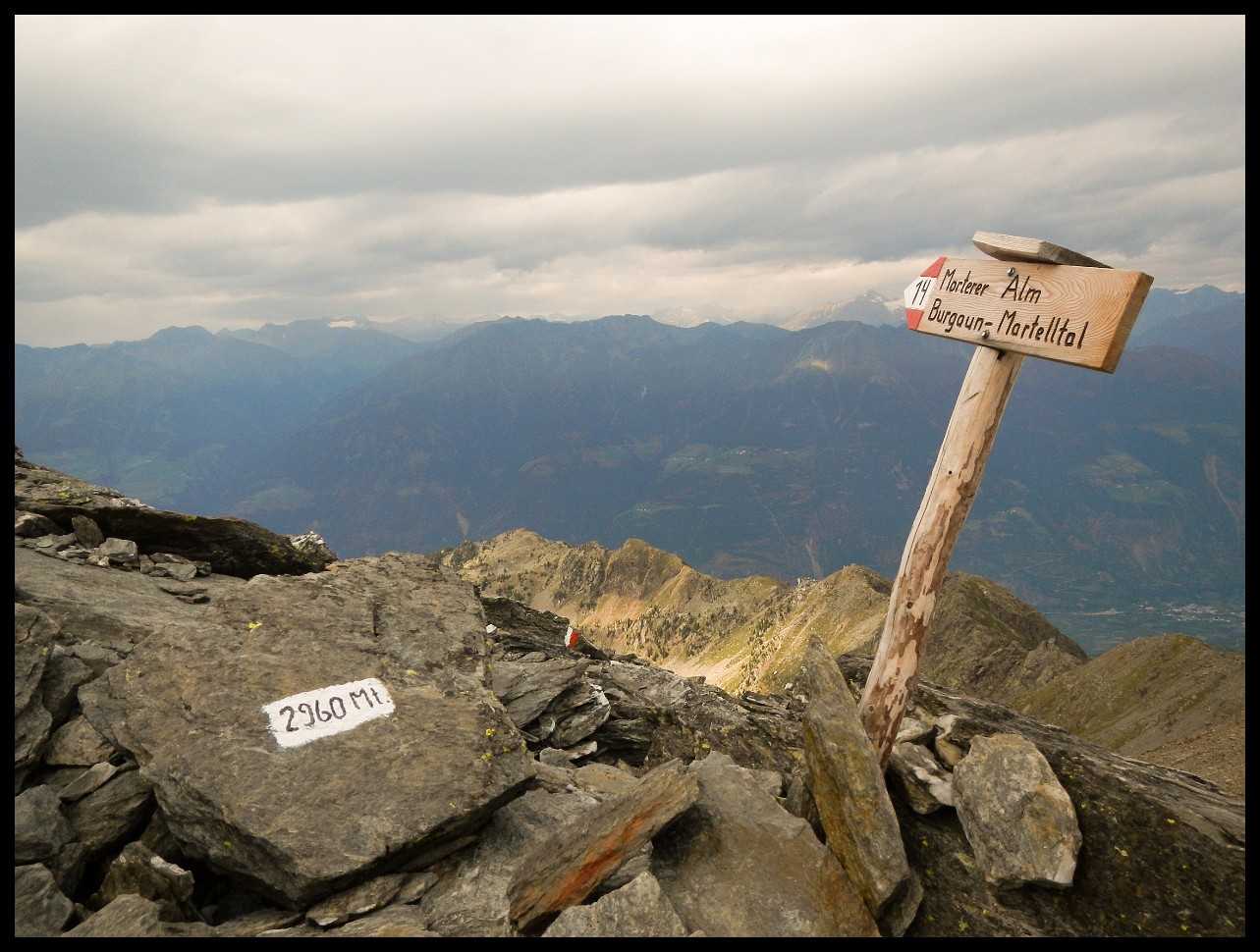
The city of Eisenerz ahead, with the largest open pit iron ore mine in Central Europe and the largest siderite deposit in the world.
Around 4-5 hours of walking in the rain.
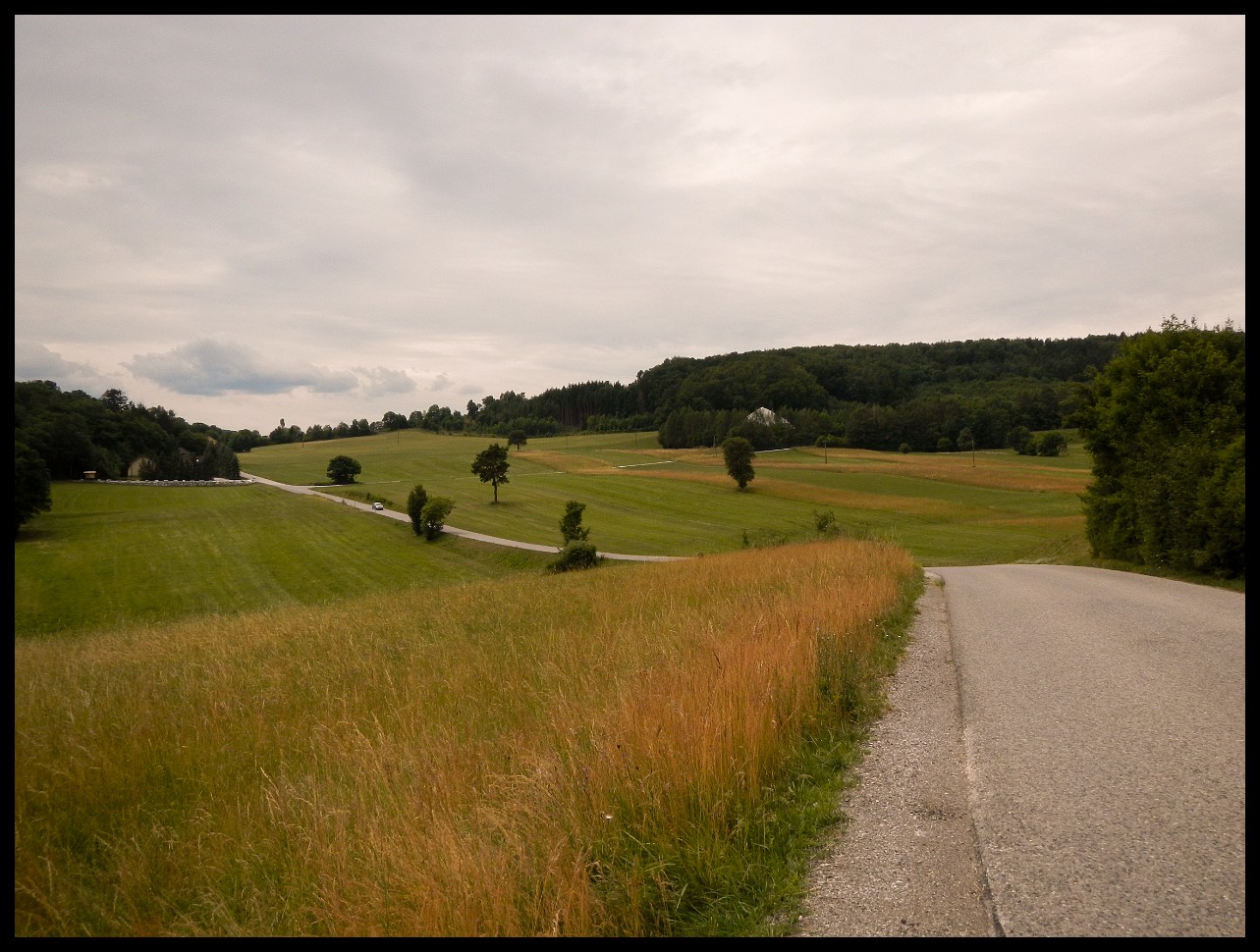
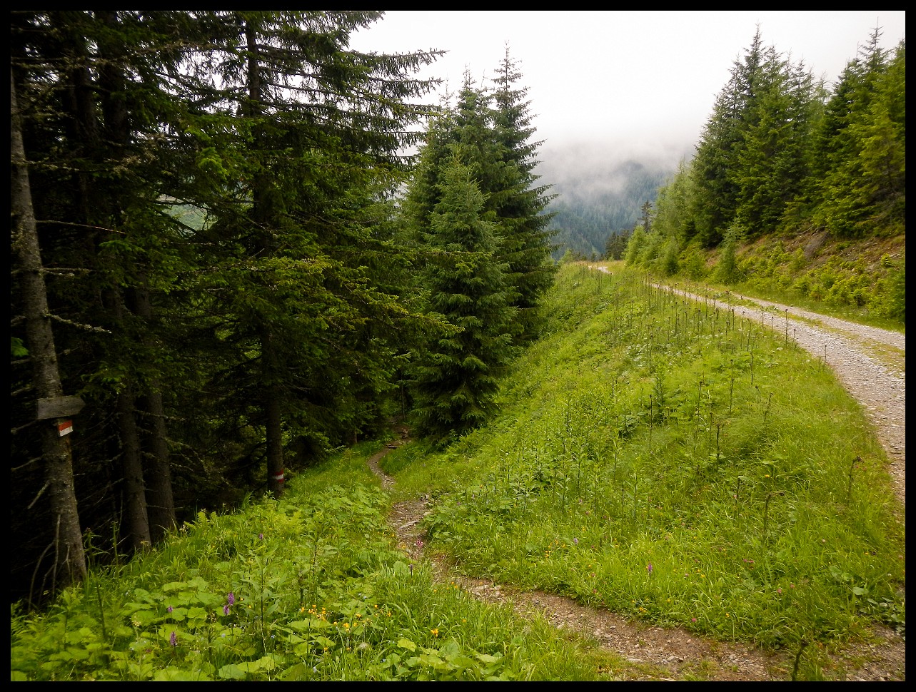
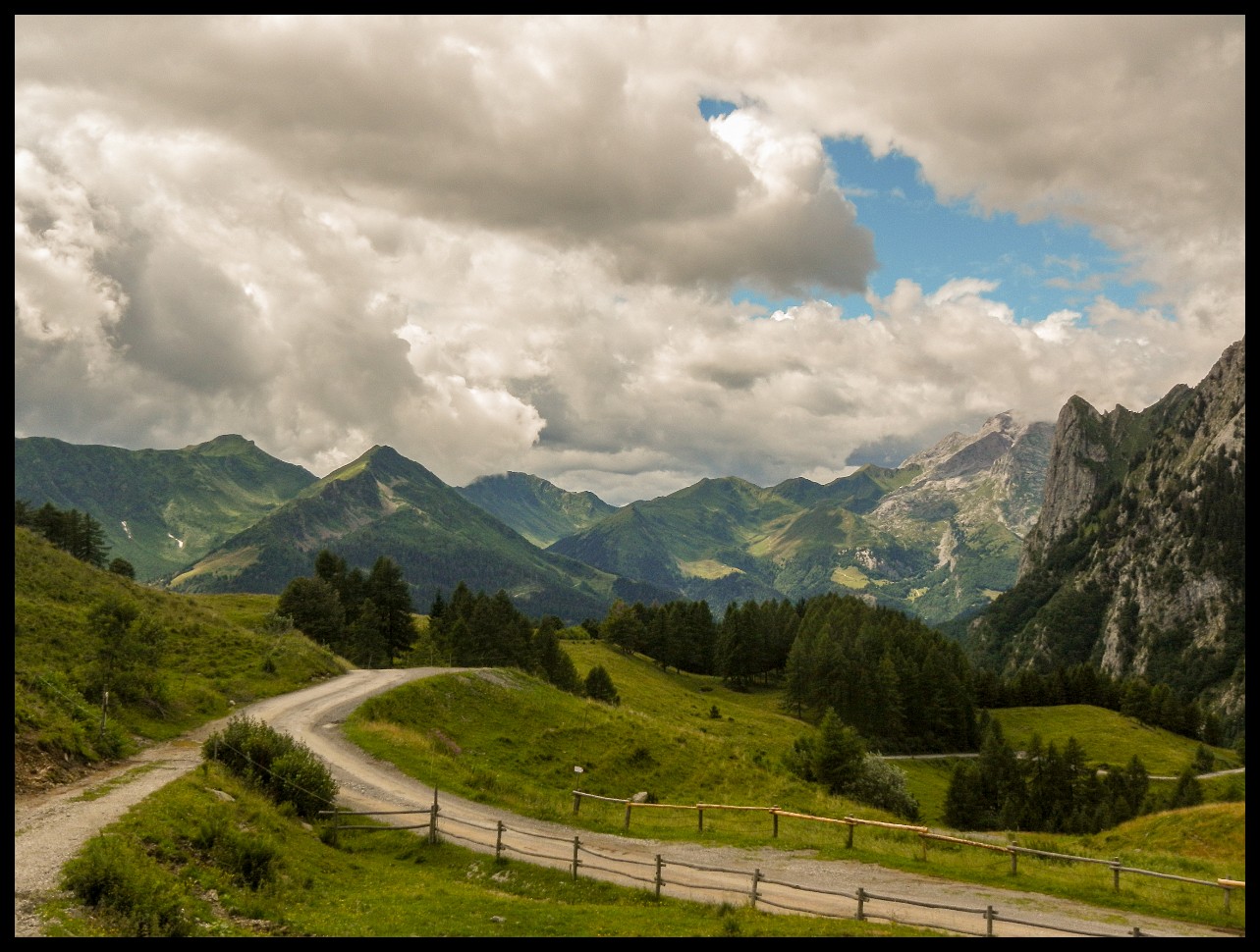
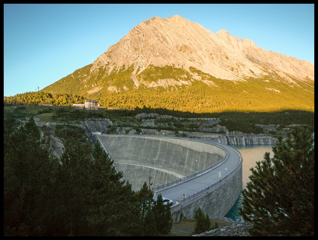
Skirting Villach.
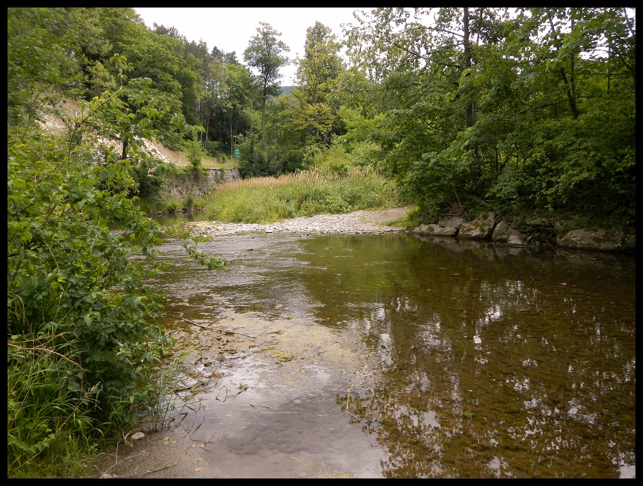
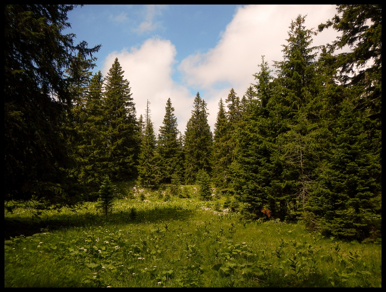
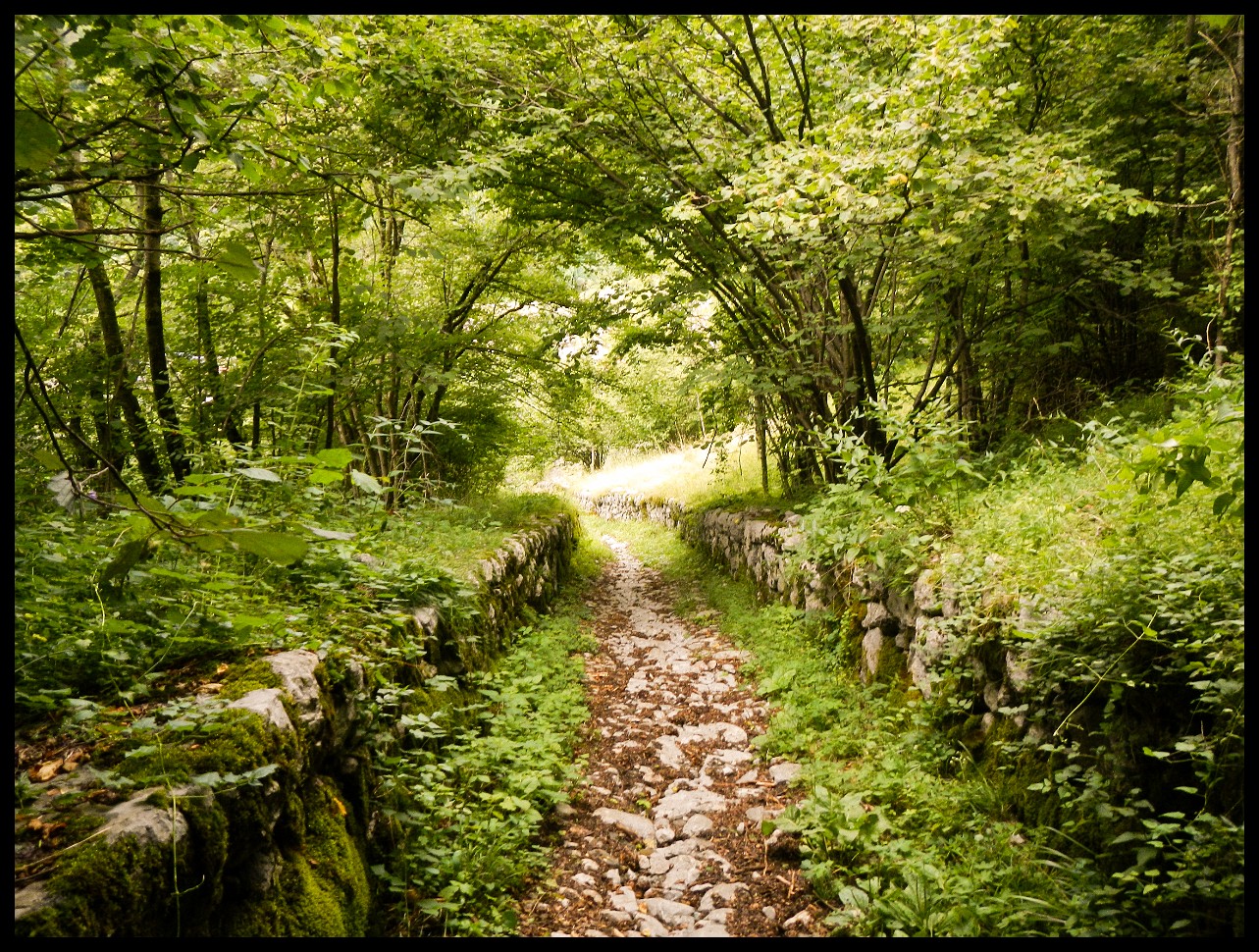
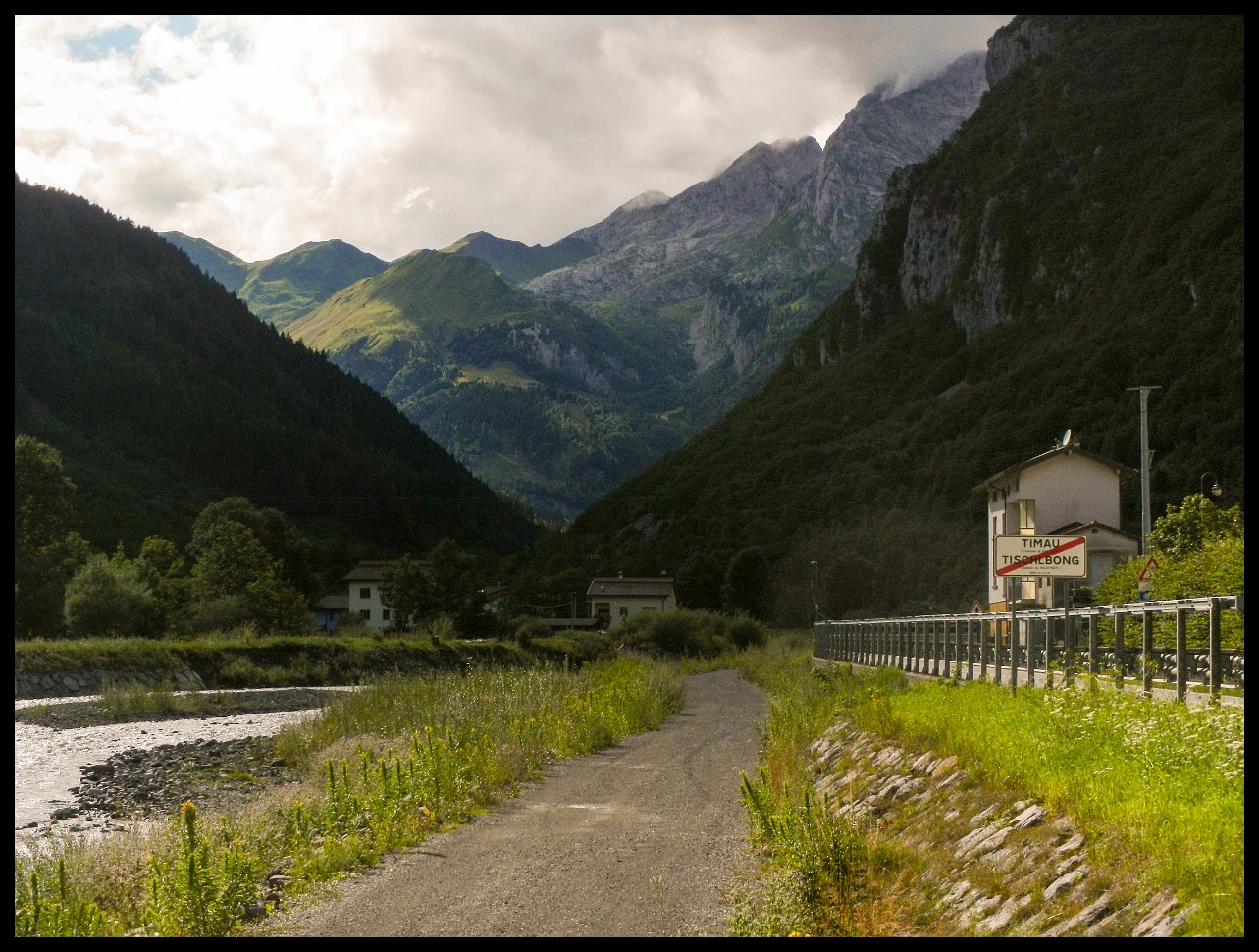
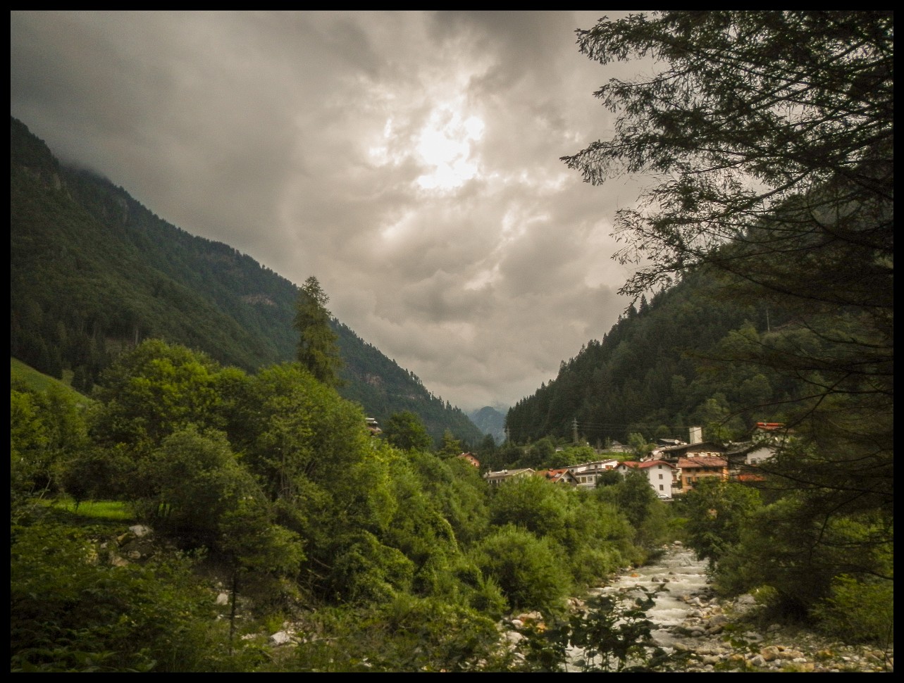
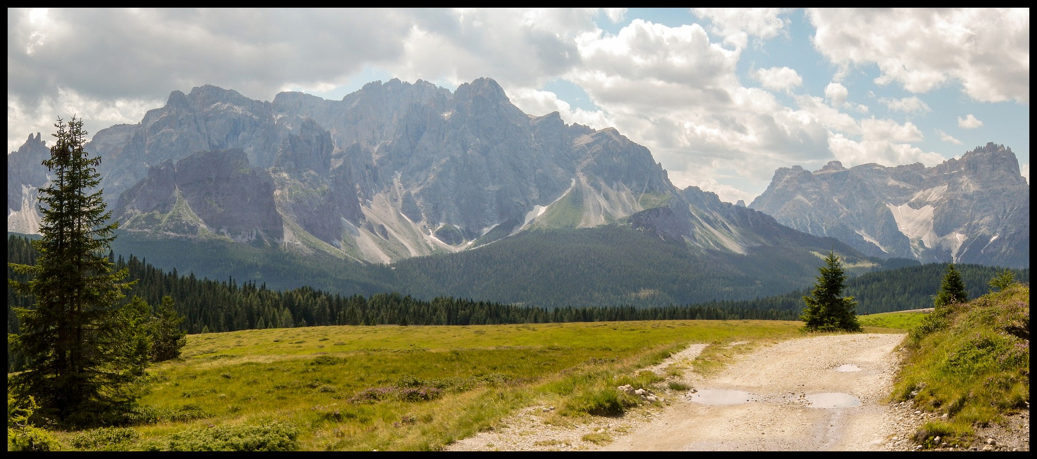
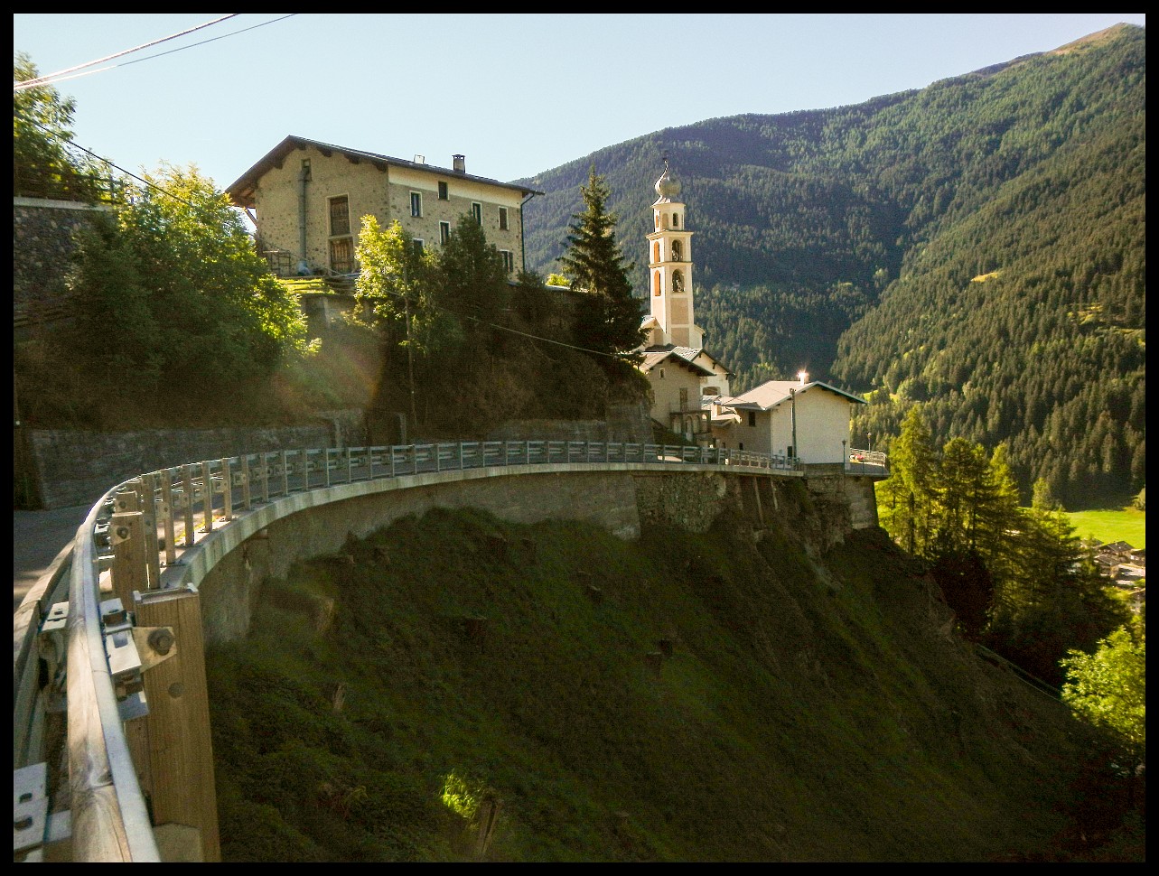
The Gailtal Valley.
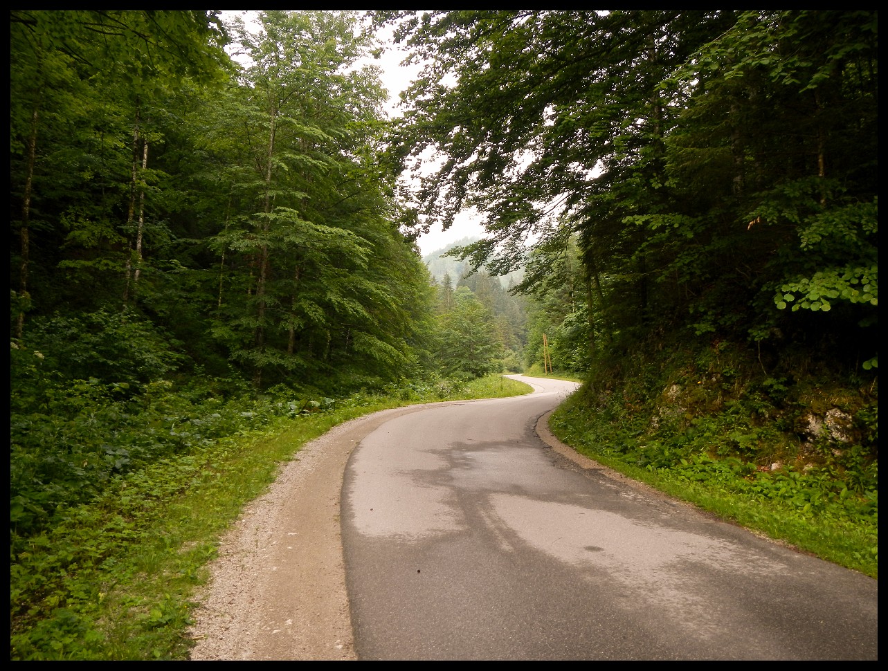
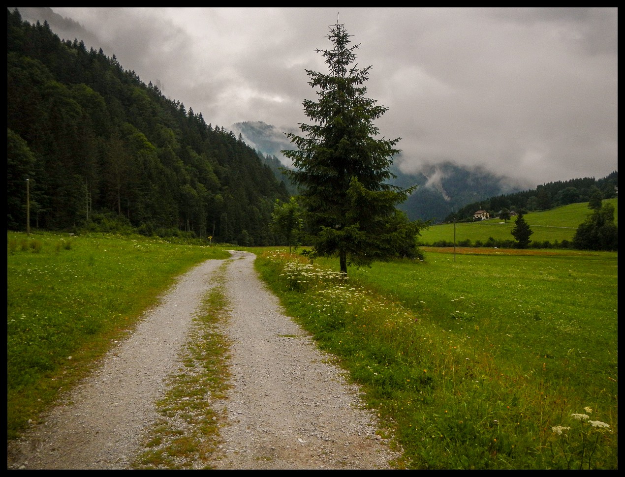
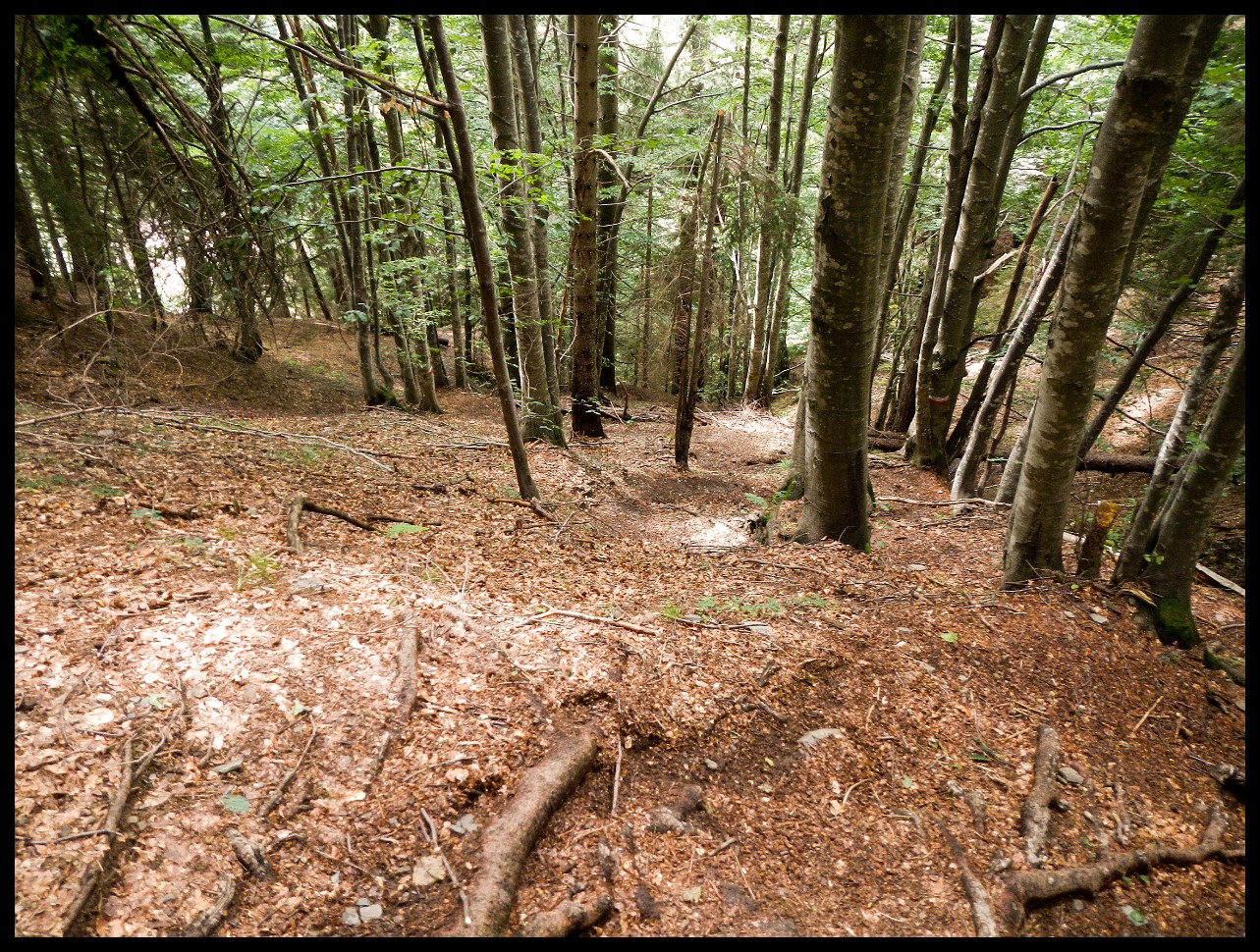
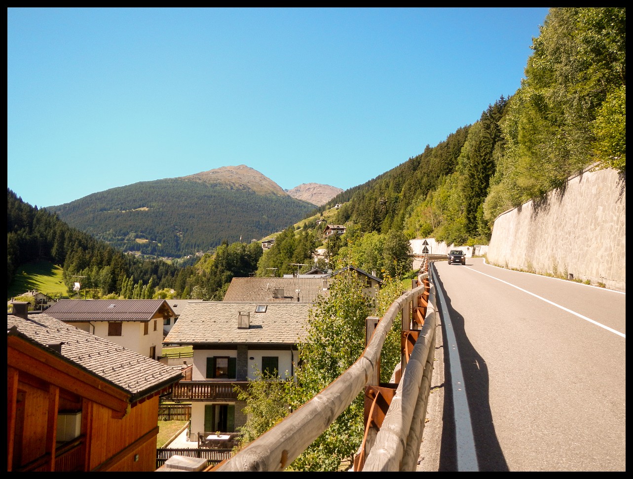
Befor reaching Hermagor.
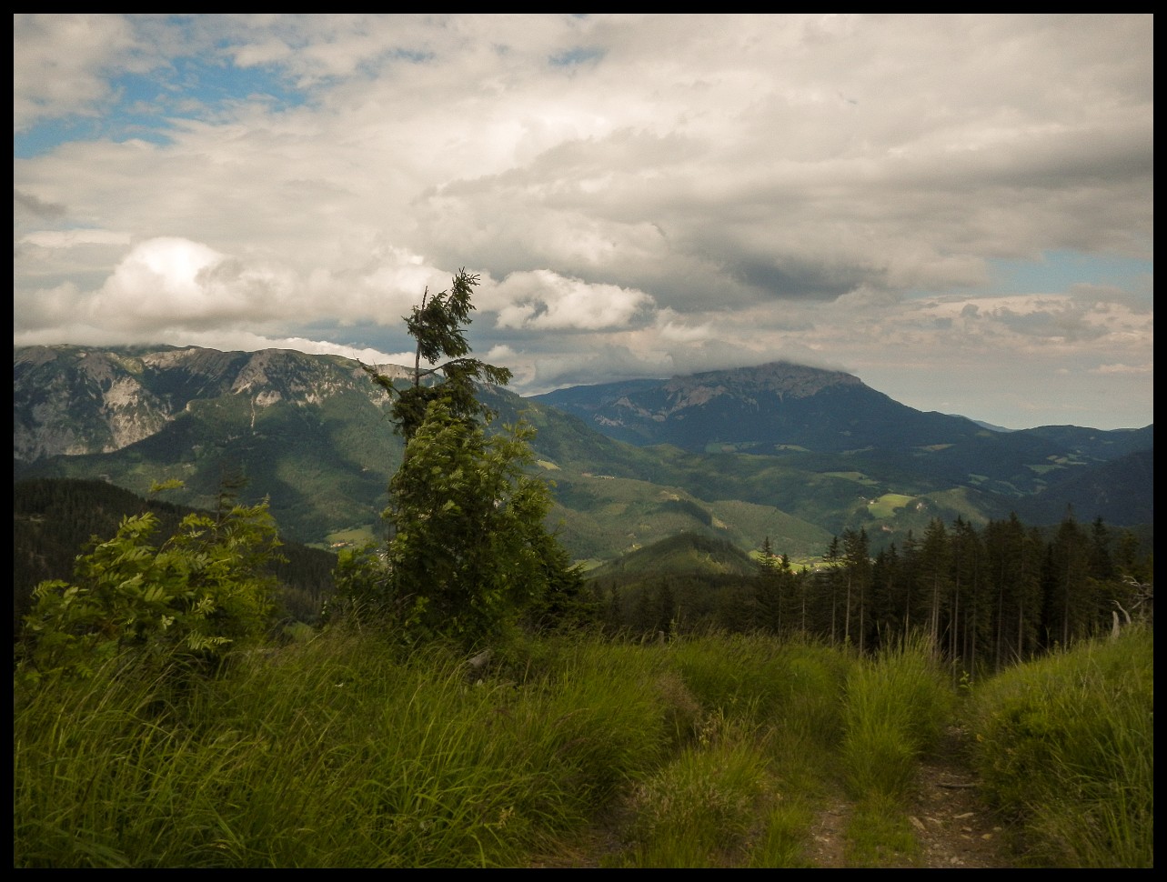
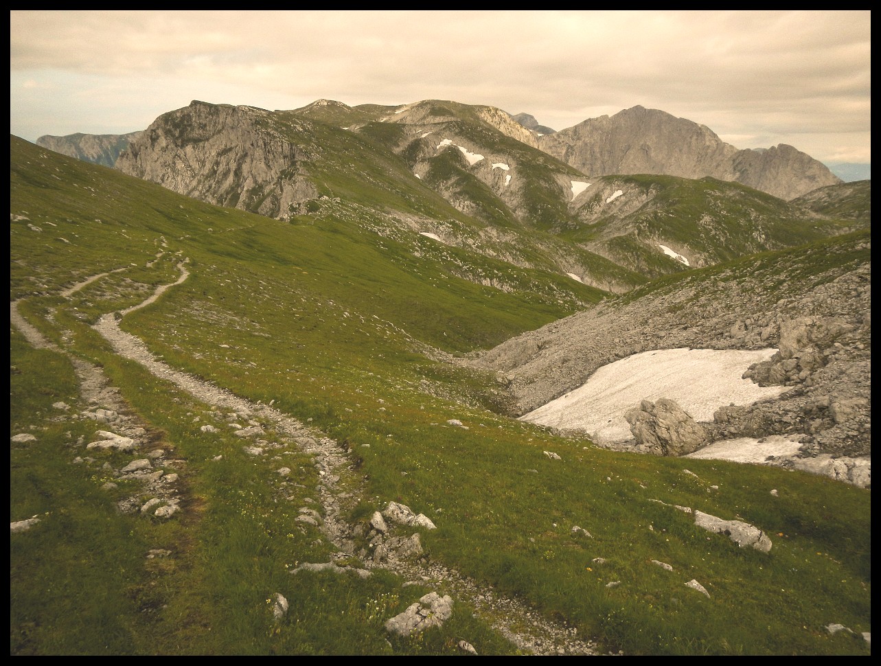
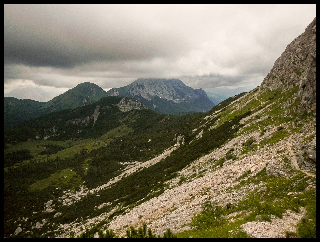
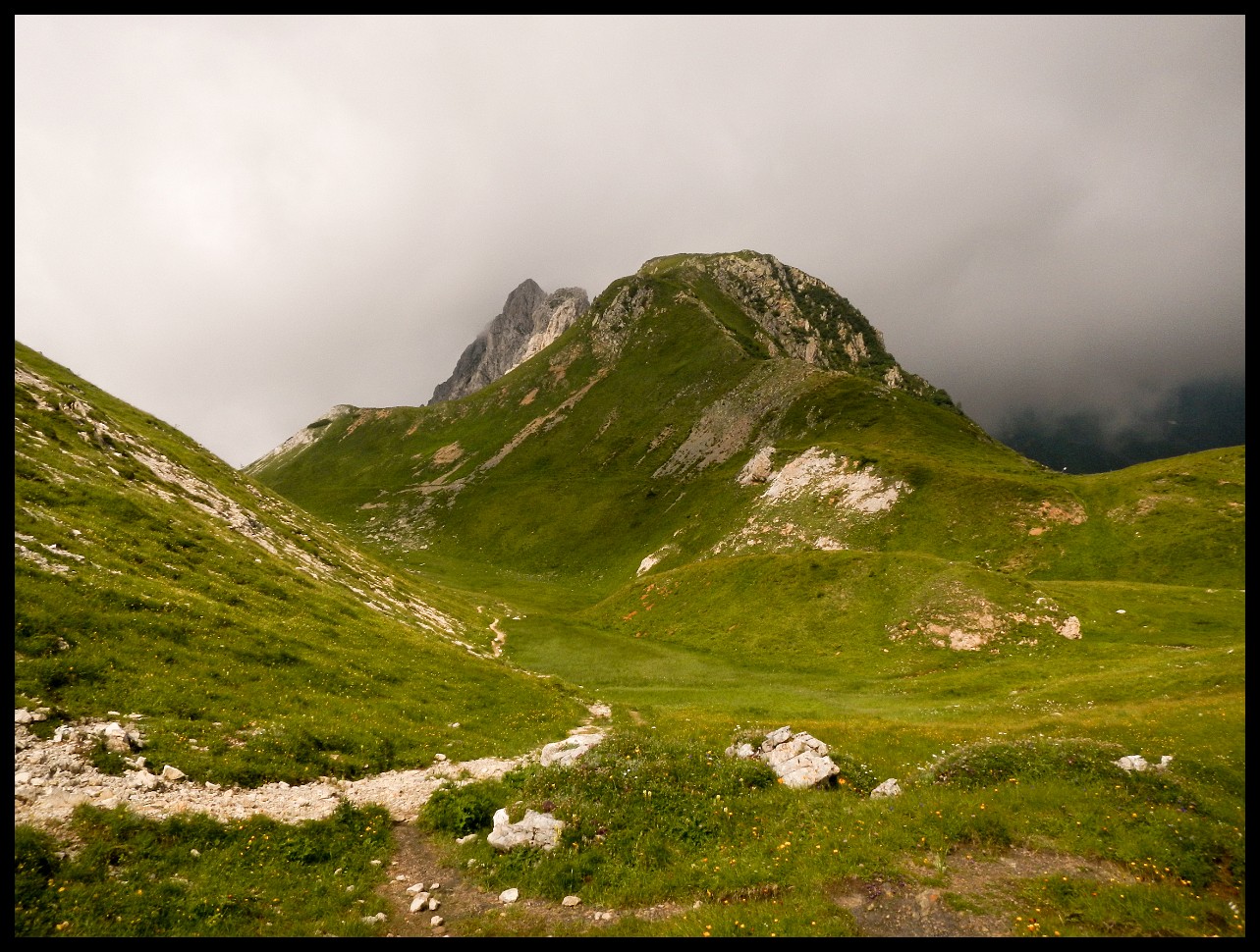
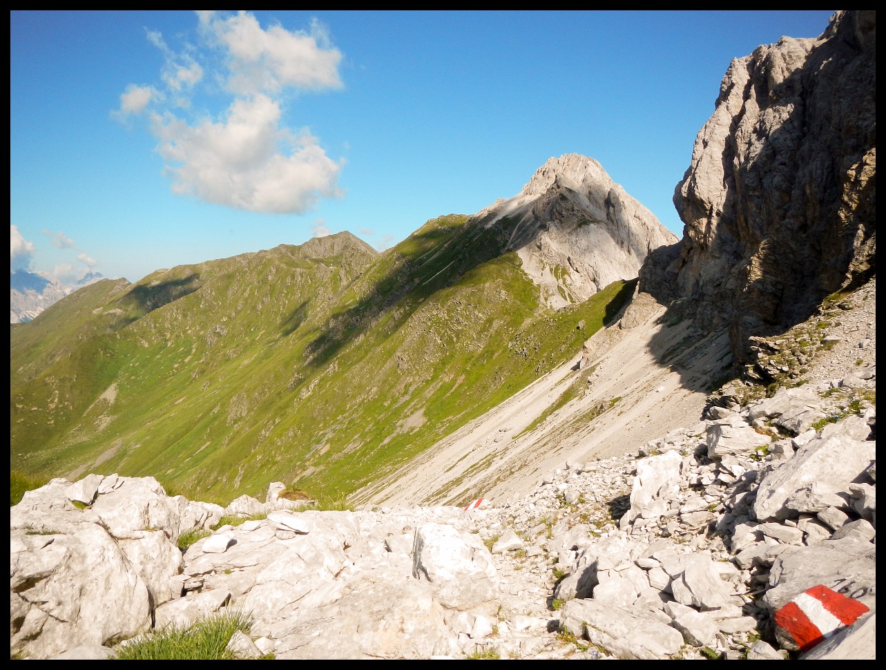
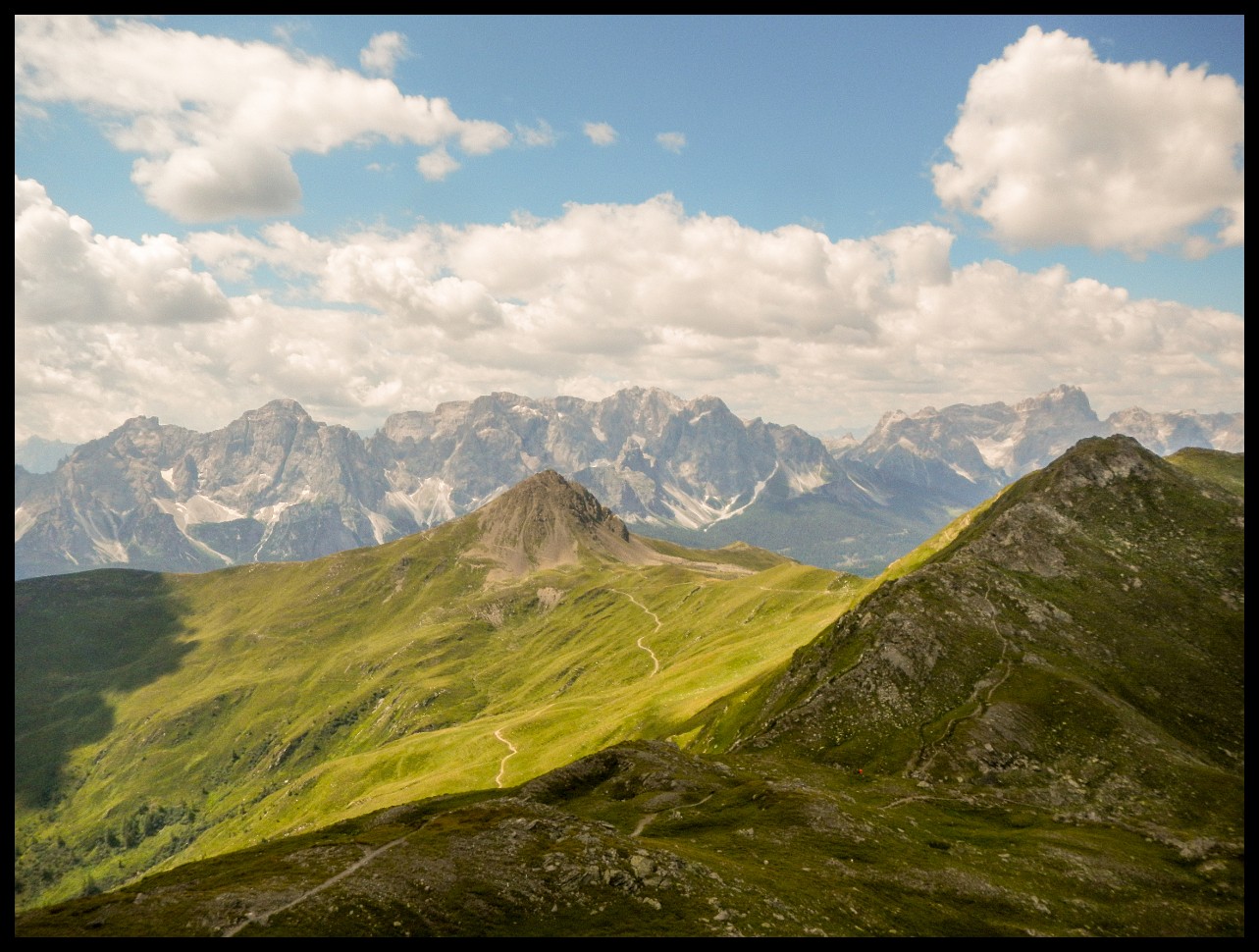
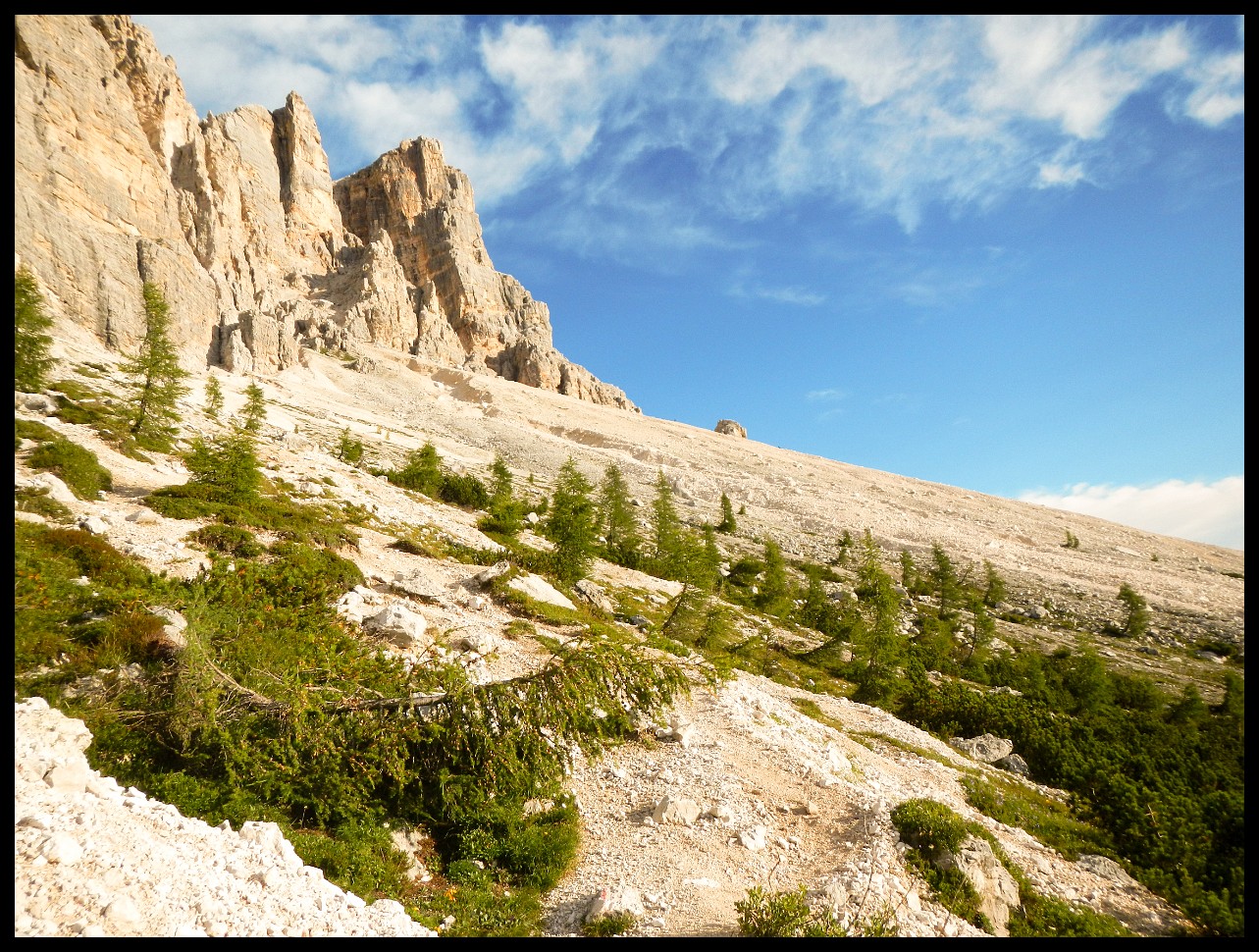
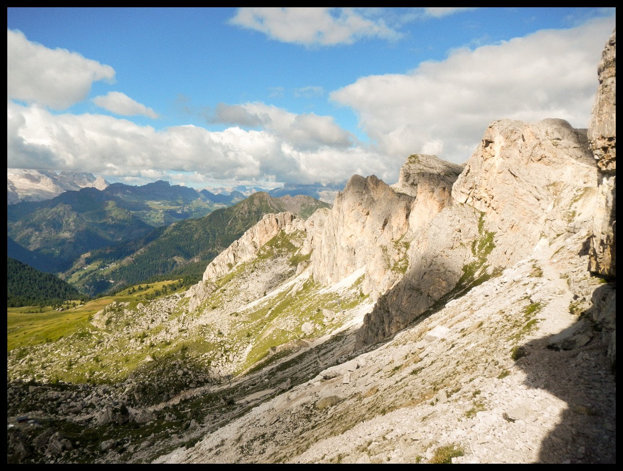
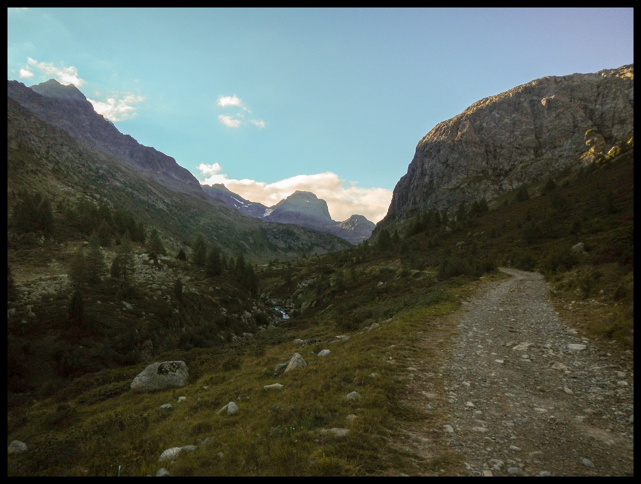
Cropped Mountain.
The cropped mountain (center) that I passed 2 days before. And the faint path on the left hillside.
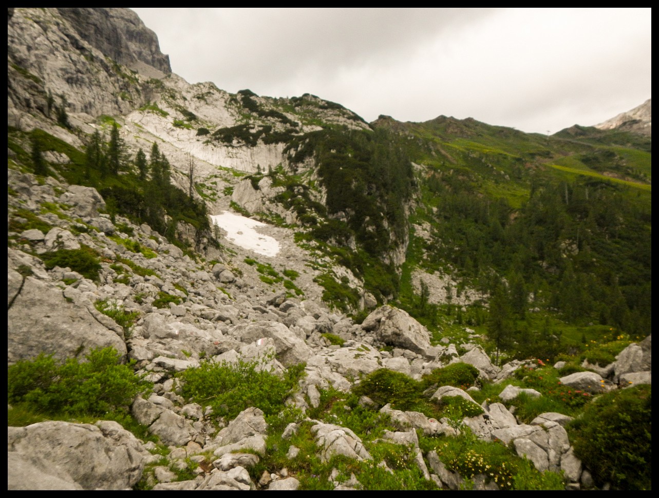
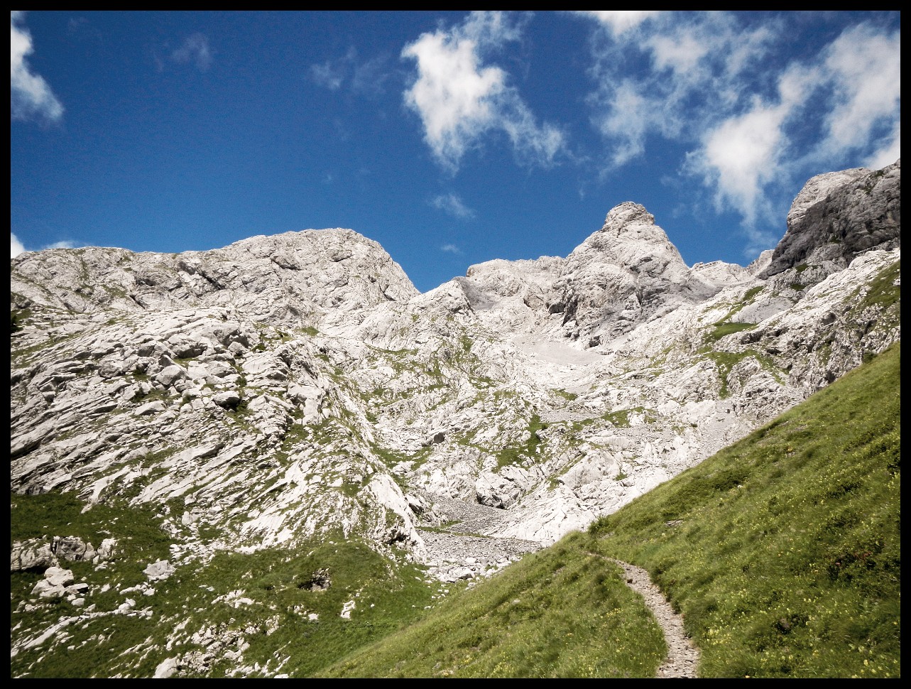
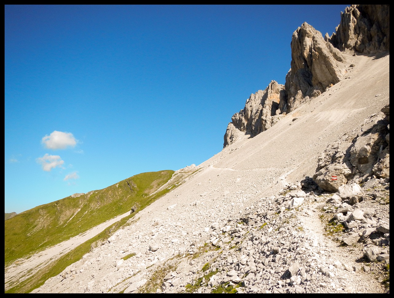
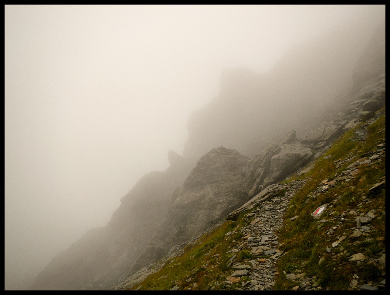
When the trail vanished...
it became really unpleasant and dangerous. I should have turned back while I could.
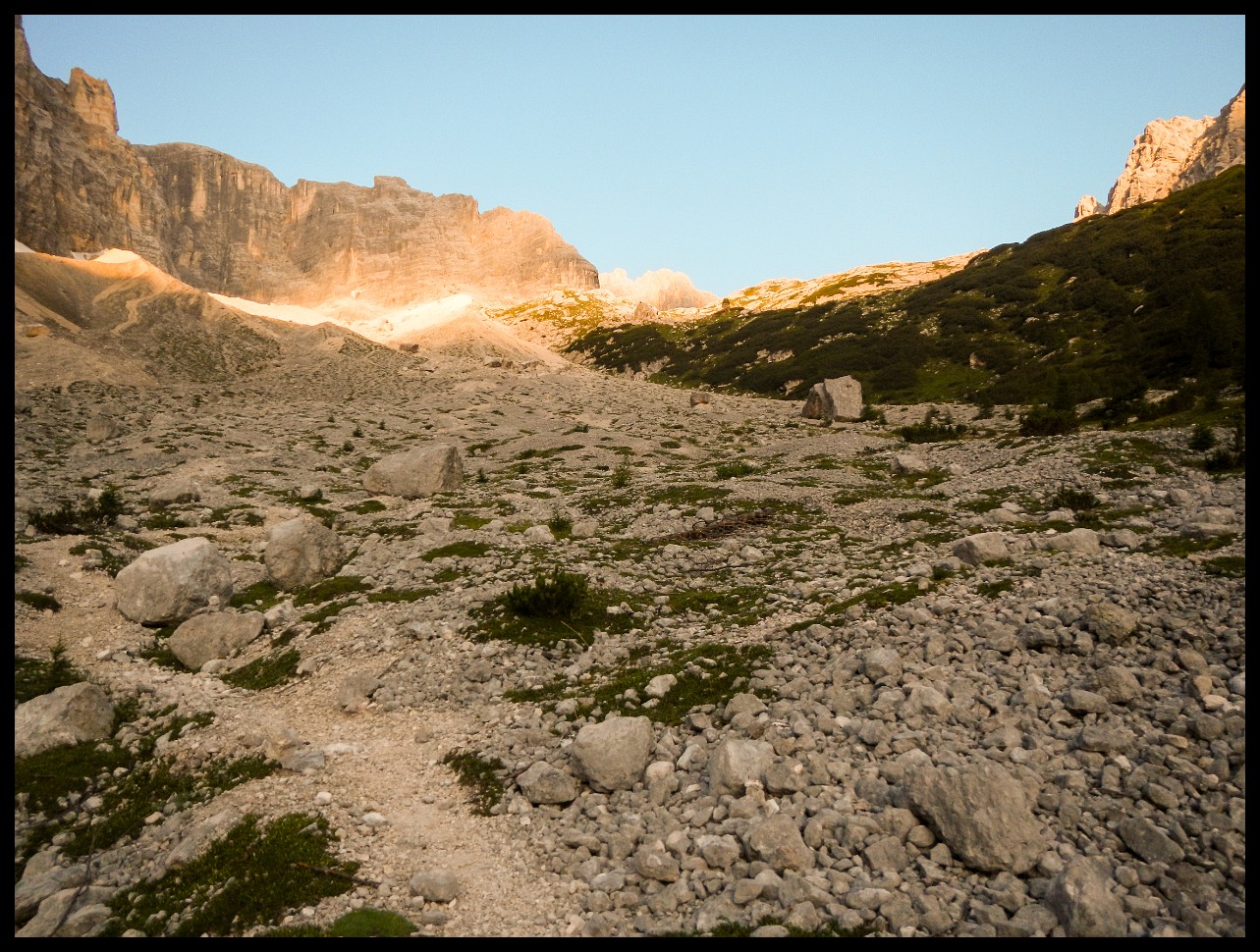
Such sections are no fun! Thankfully, it was early in the day.
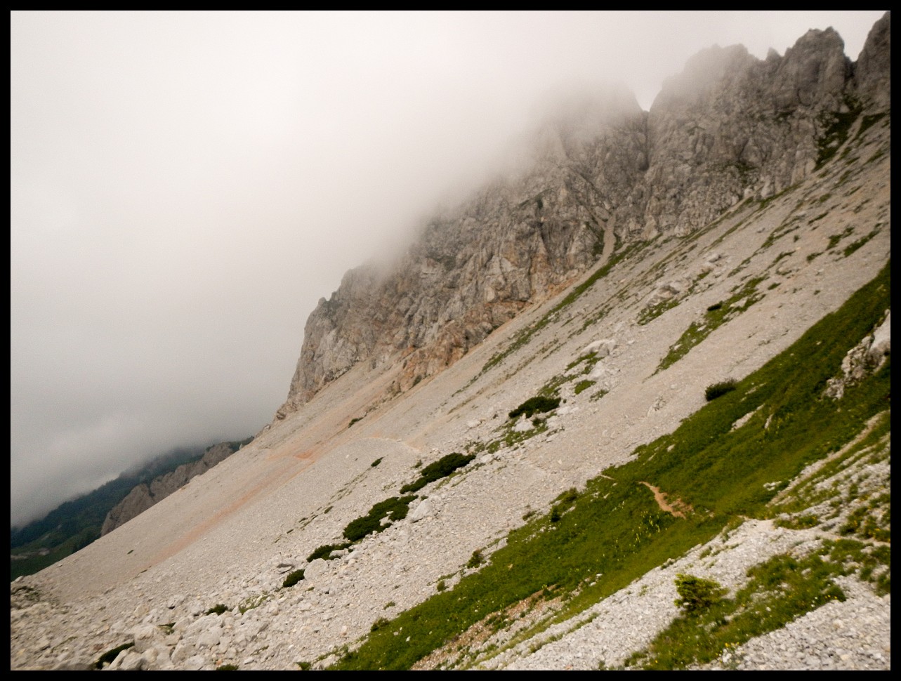
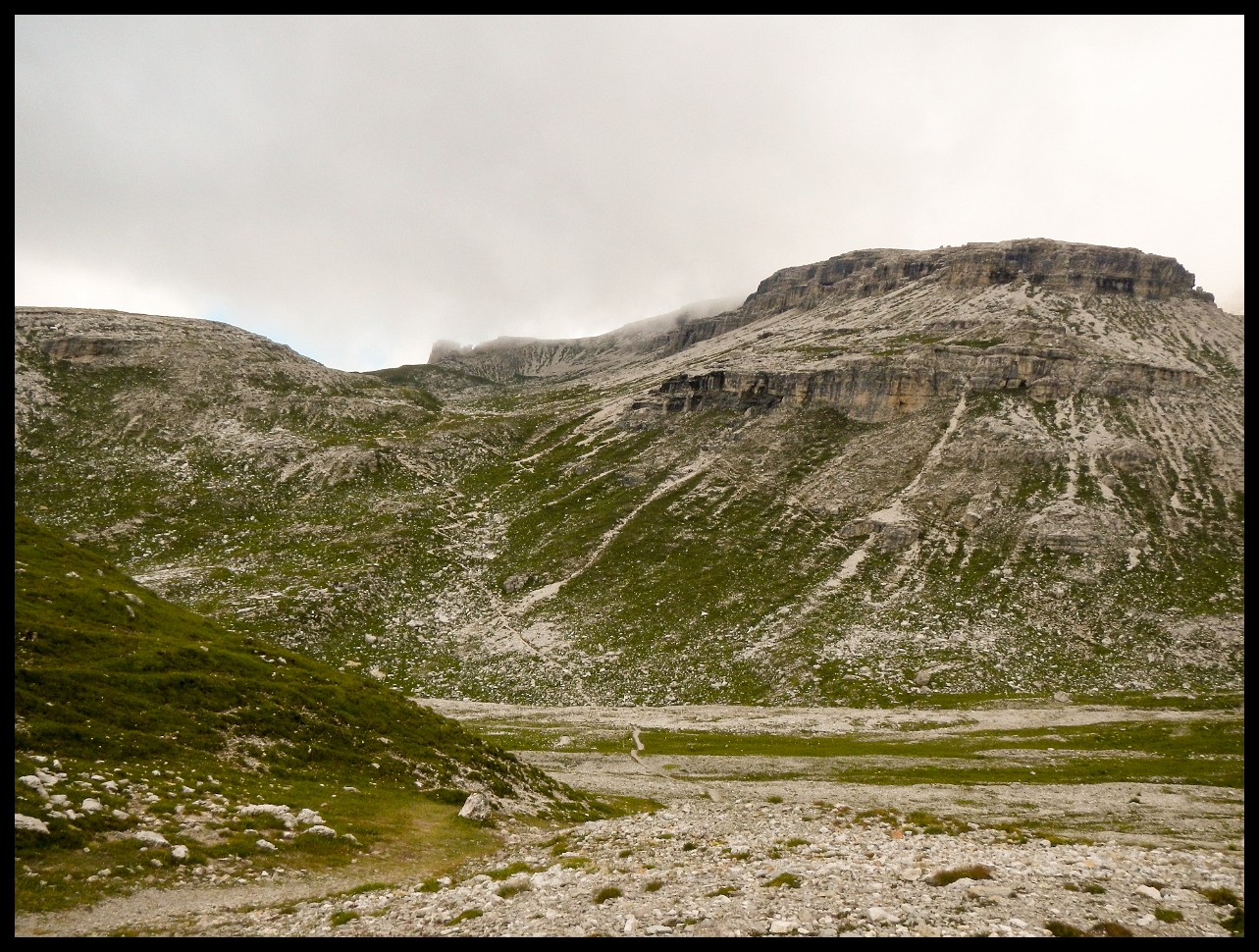
The cropped mountain again - right of centre.
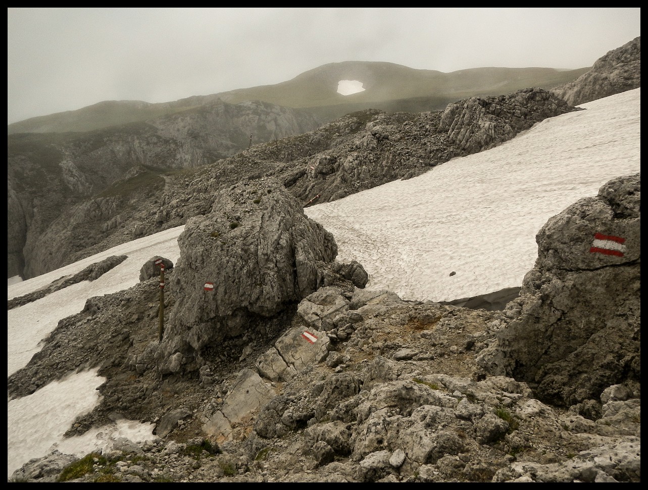
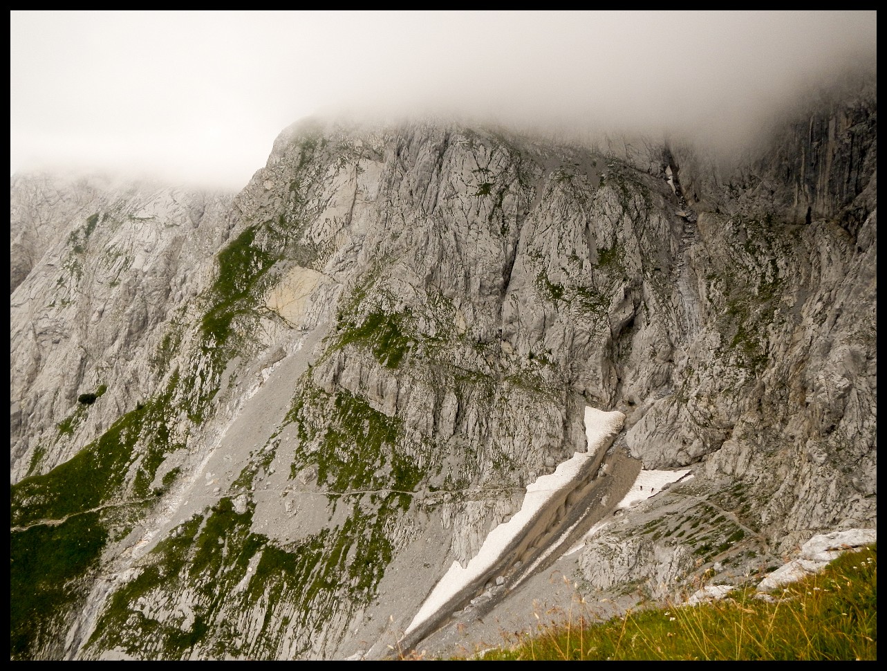
Even though the snow patches were short to cross, that's where I had the most anxiety.
Even though the snowfields were only a short distance to cross, that's where I was most scared.
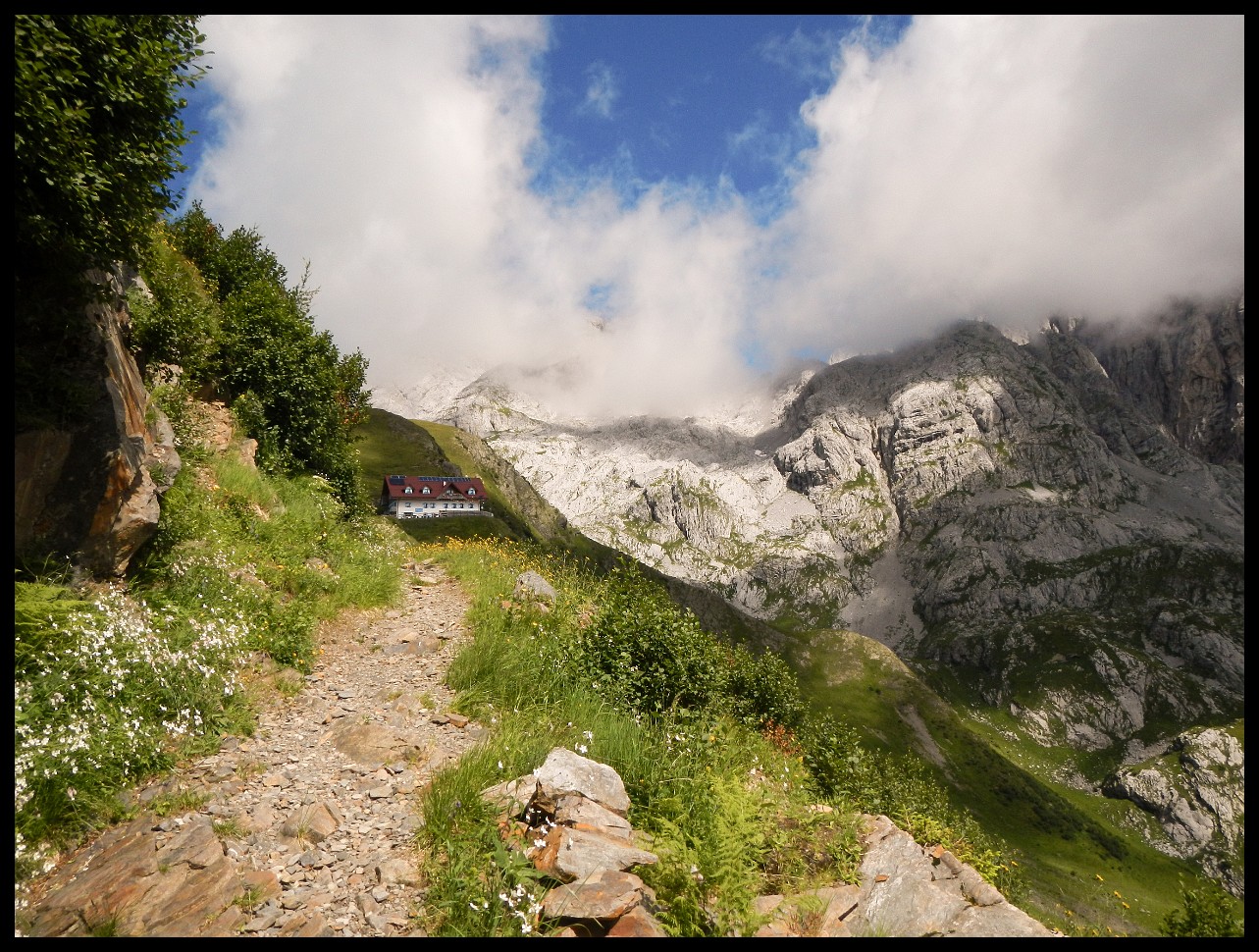
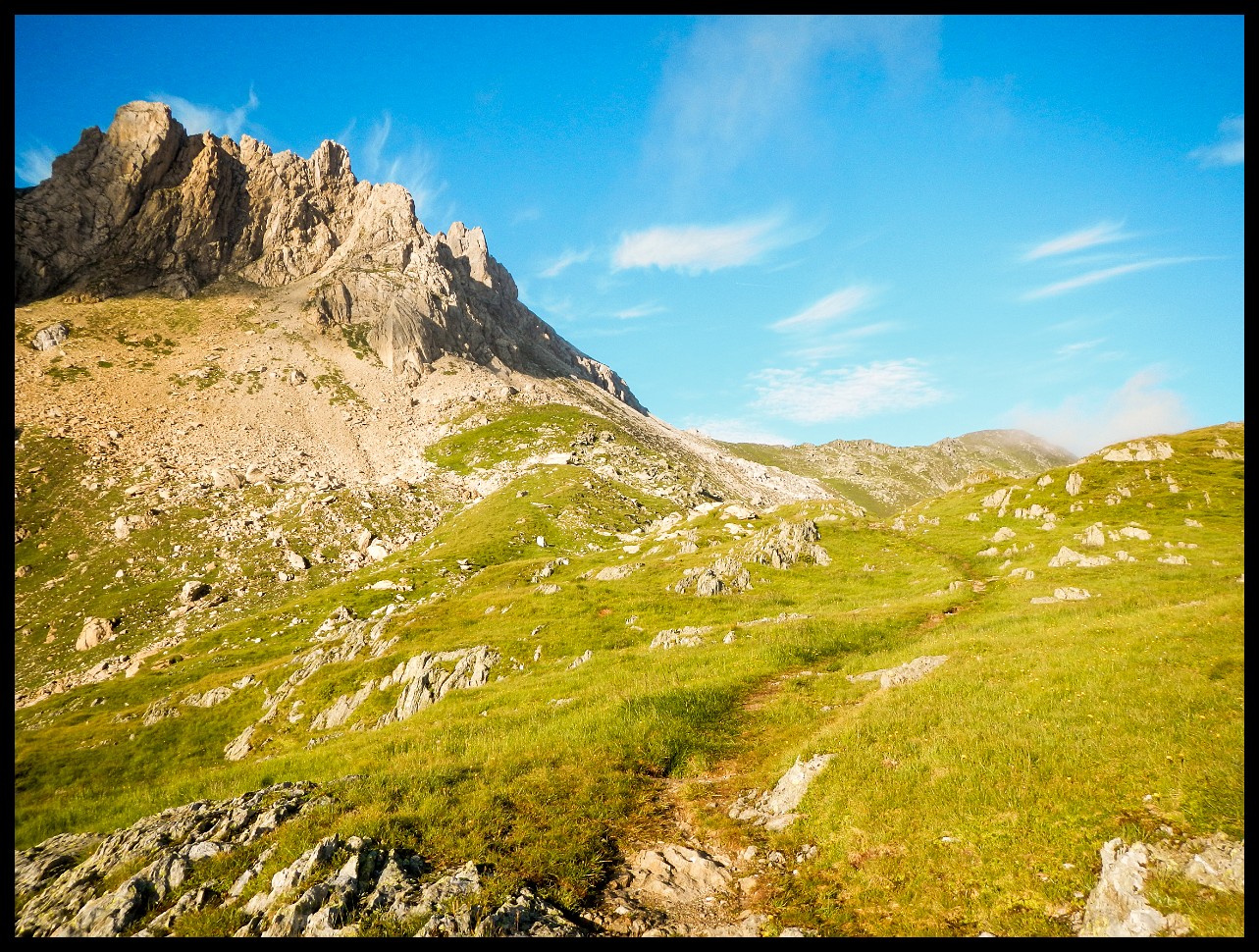
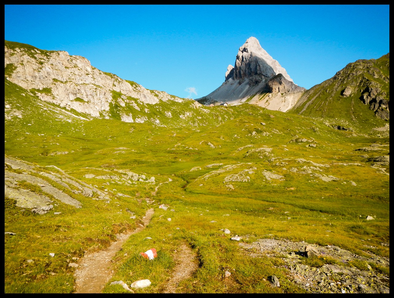
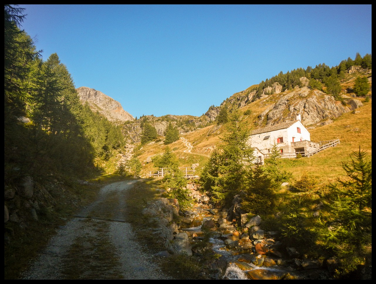
Wolayersee hut ahead through the saddle.
I was surprised when more and more people with helmets came towards me on my descent.
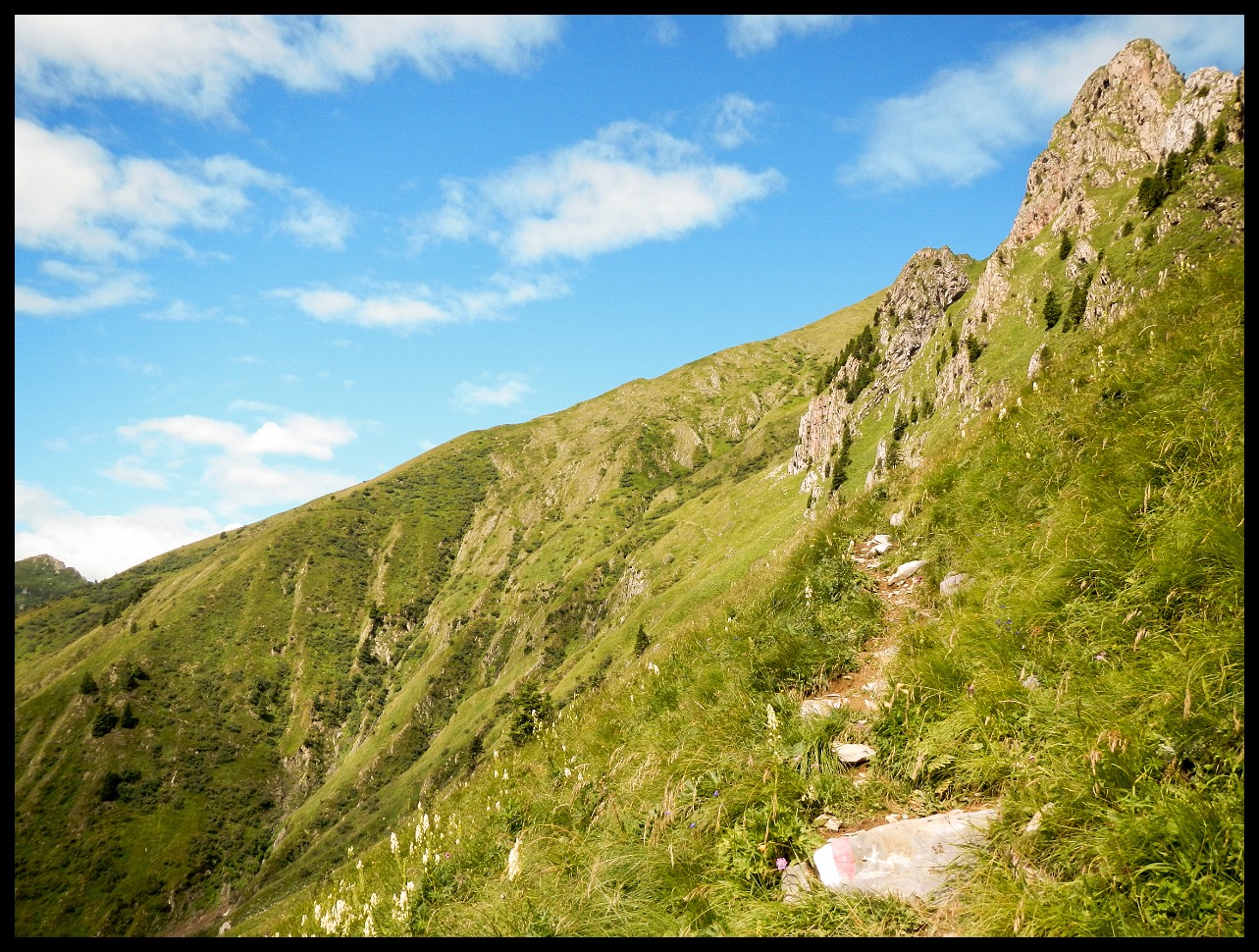
Unintentionally I was on a (gentle) via ferrata.
Looking back at a ladder (in the black niche).
The view back a little later, the ladder from the previous picture below at the beginning of the ascent, the end of my descent.
Bad weather in the making made me descend to Forni Avoltri.
Two days later the same way back up to the Carnic High Trail.
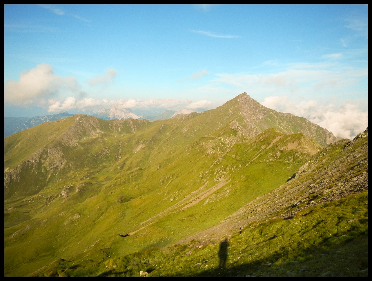
Looking back.
Looking back.
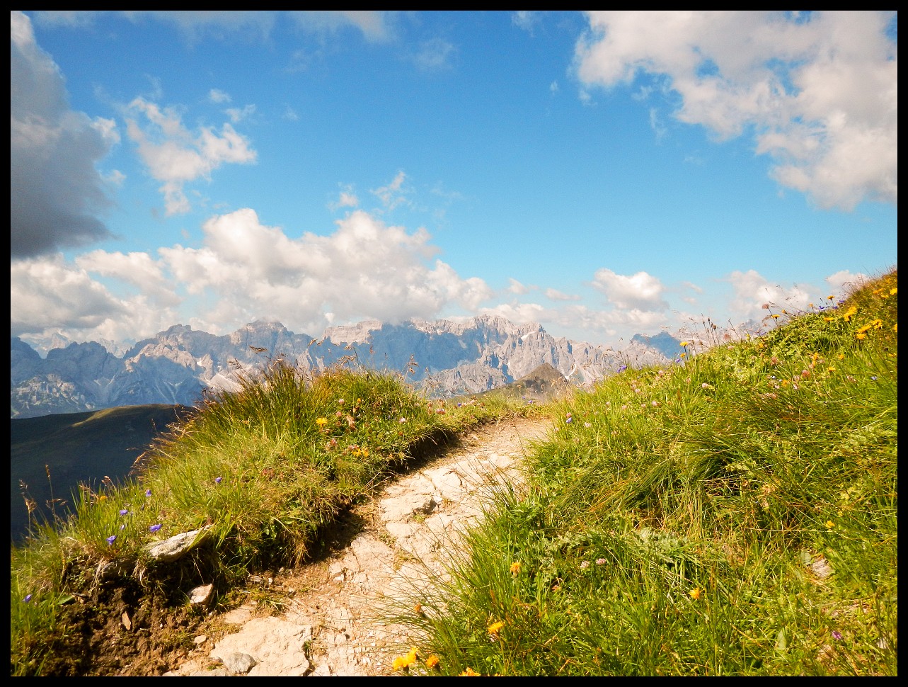
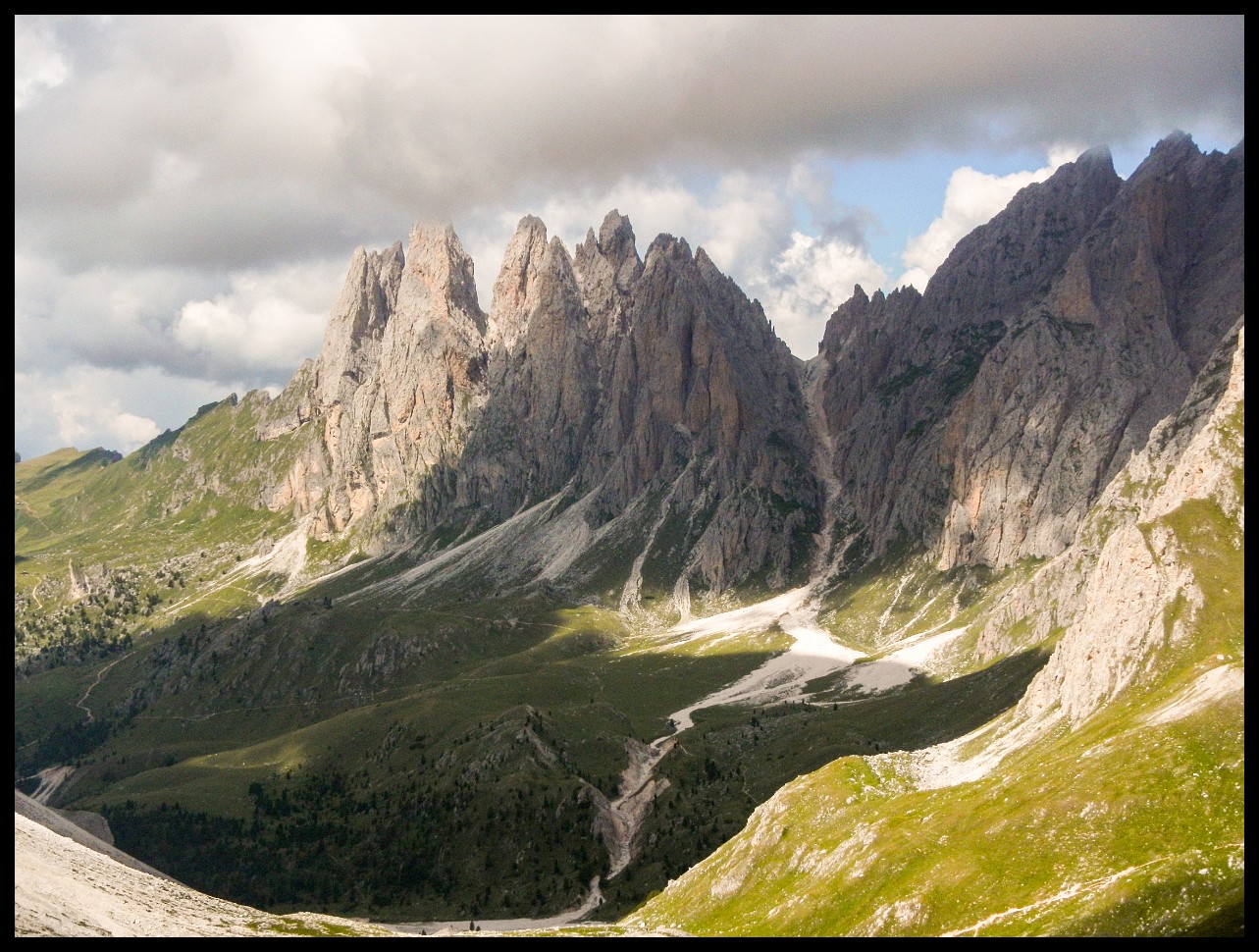
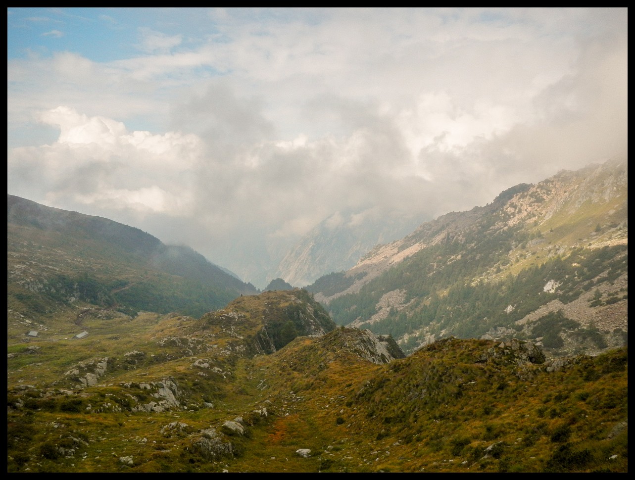
The Dolomites ahead. Should work out somehow.
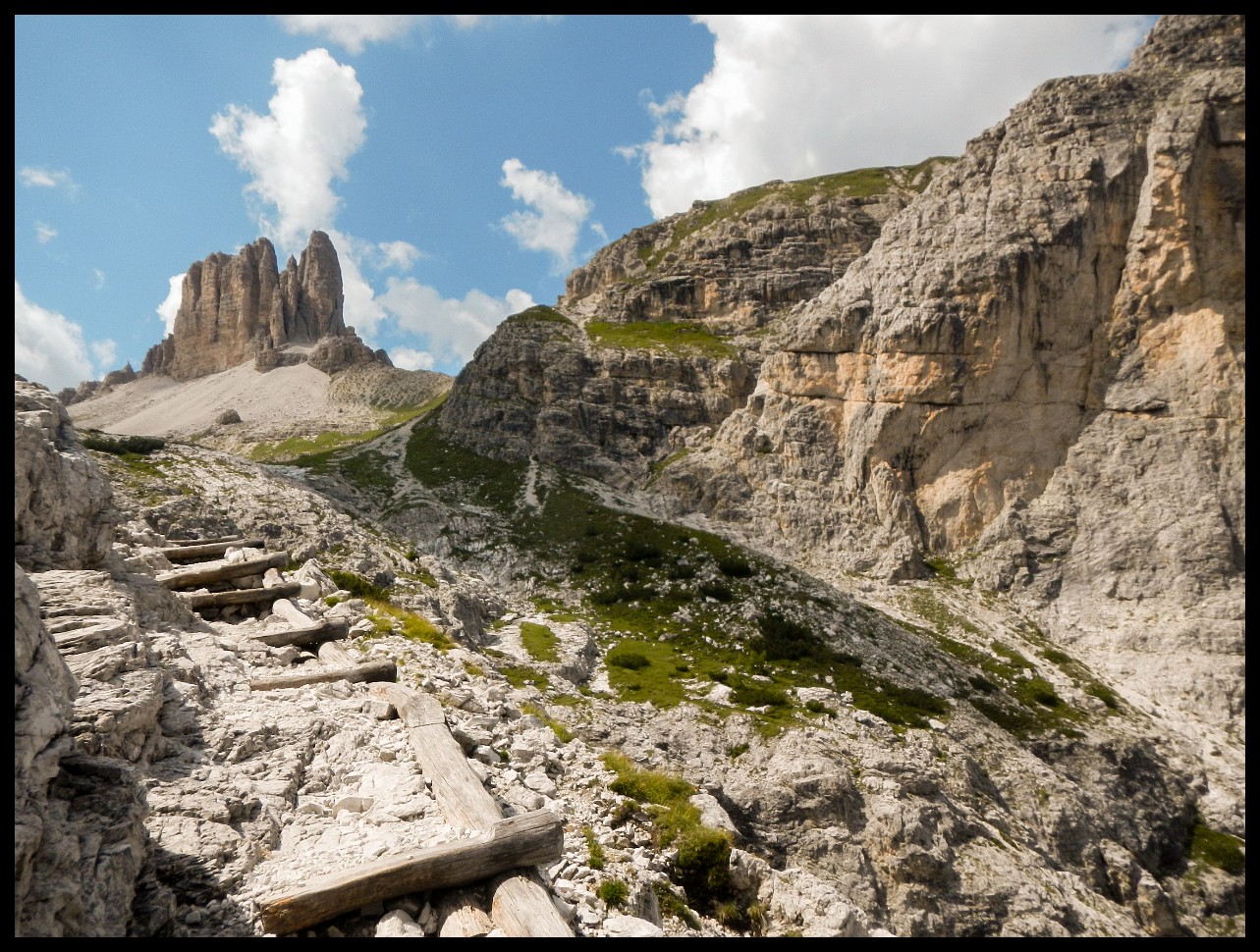
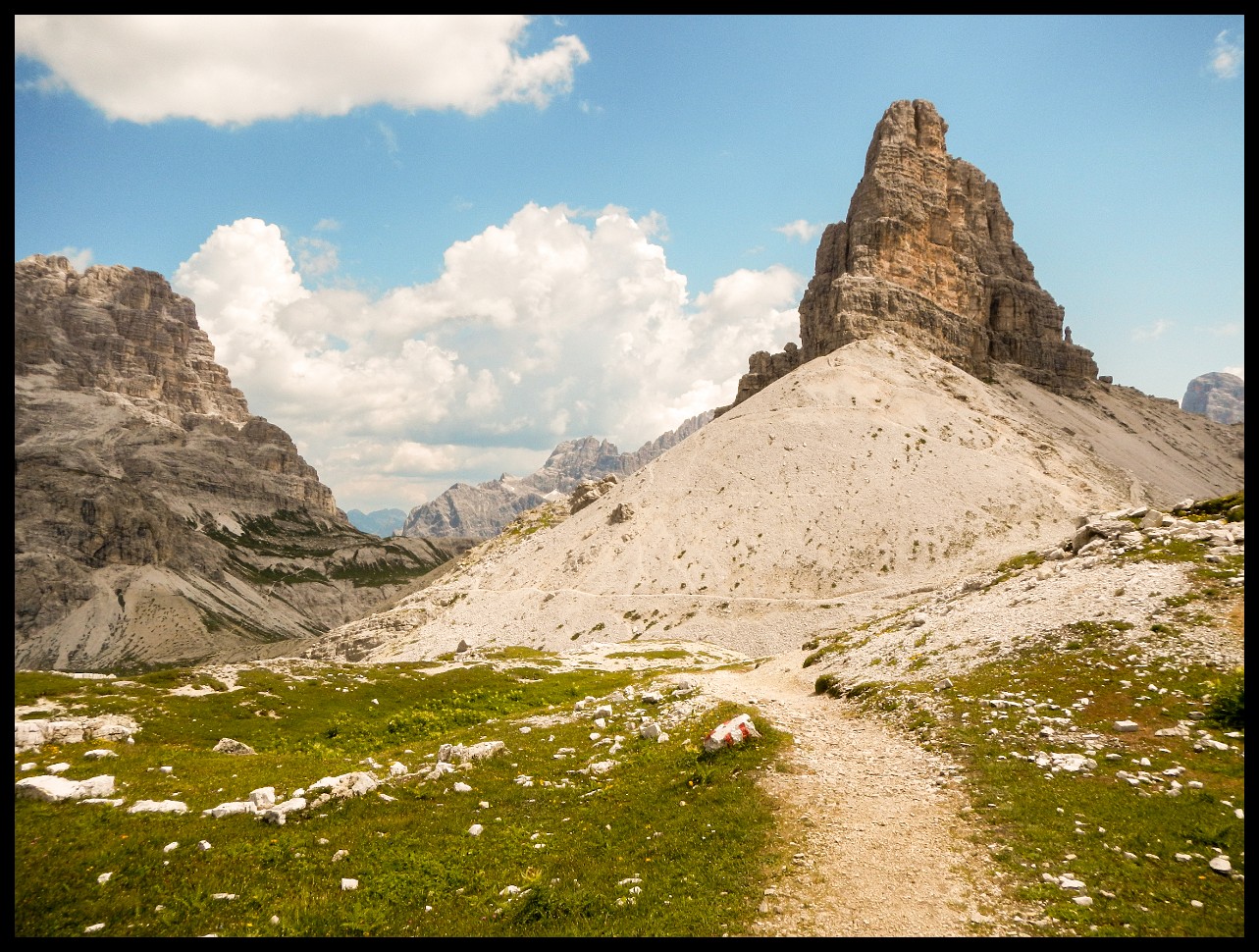
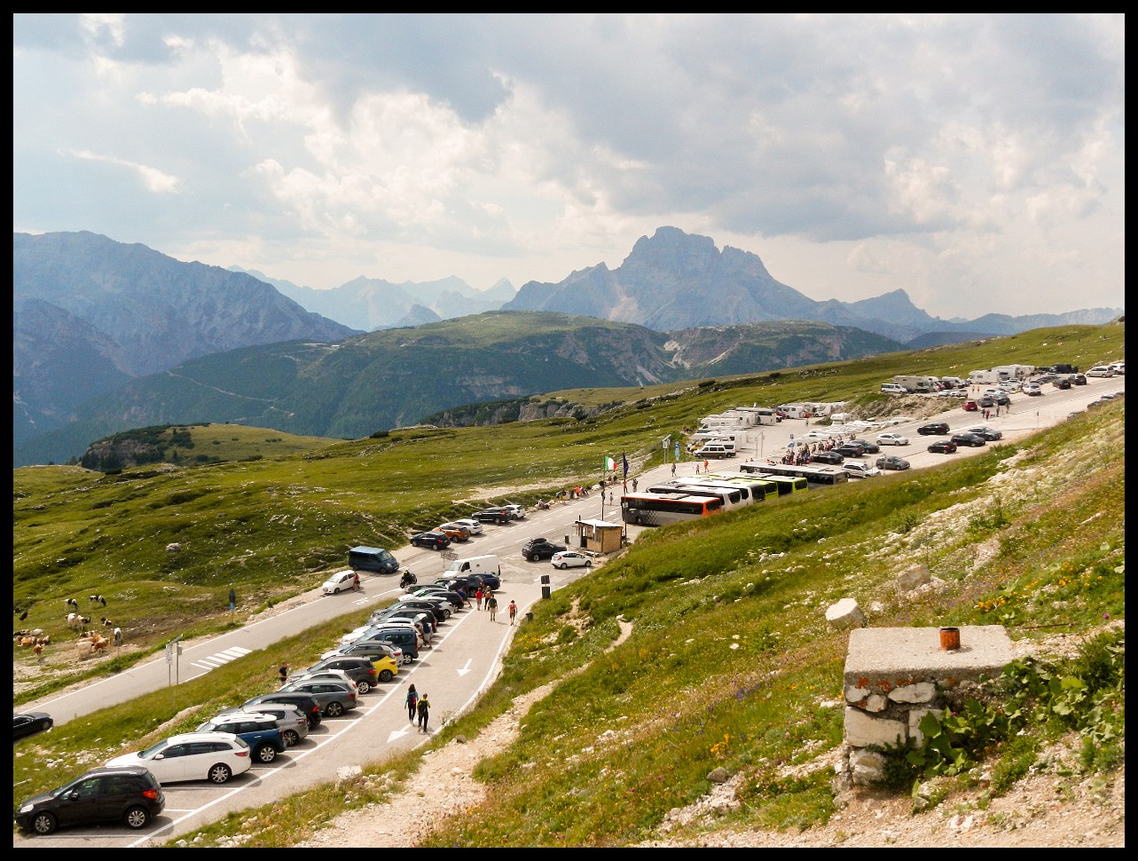
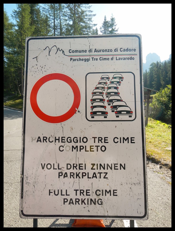
The Three Peaks of Lavaredo, the Dolomites, mid-August, Italian vacation season: not a good idea for seclusion.
My goodness!
Much better.
Looking back at the day's route. Red V marks the night before.
Lake Sorapiss, somewhat overrated.
Before descending to the valley of Cortina de Ampezzo (coming from Sorapiss Lake), this wall must be overcome. A path is visible in the wall that leads from the left at an angle of less than 45 degrees to the V-shaped saddle (about 2700 m) to the left of the center of the picture.
You had to kind of hug the side of the mountain and go over and out to the left.
Looking back at a straightforward section.
And likewise down again on the other side.
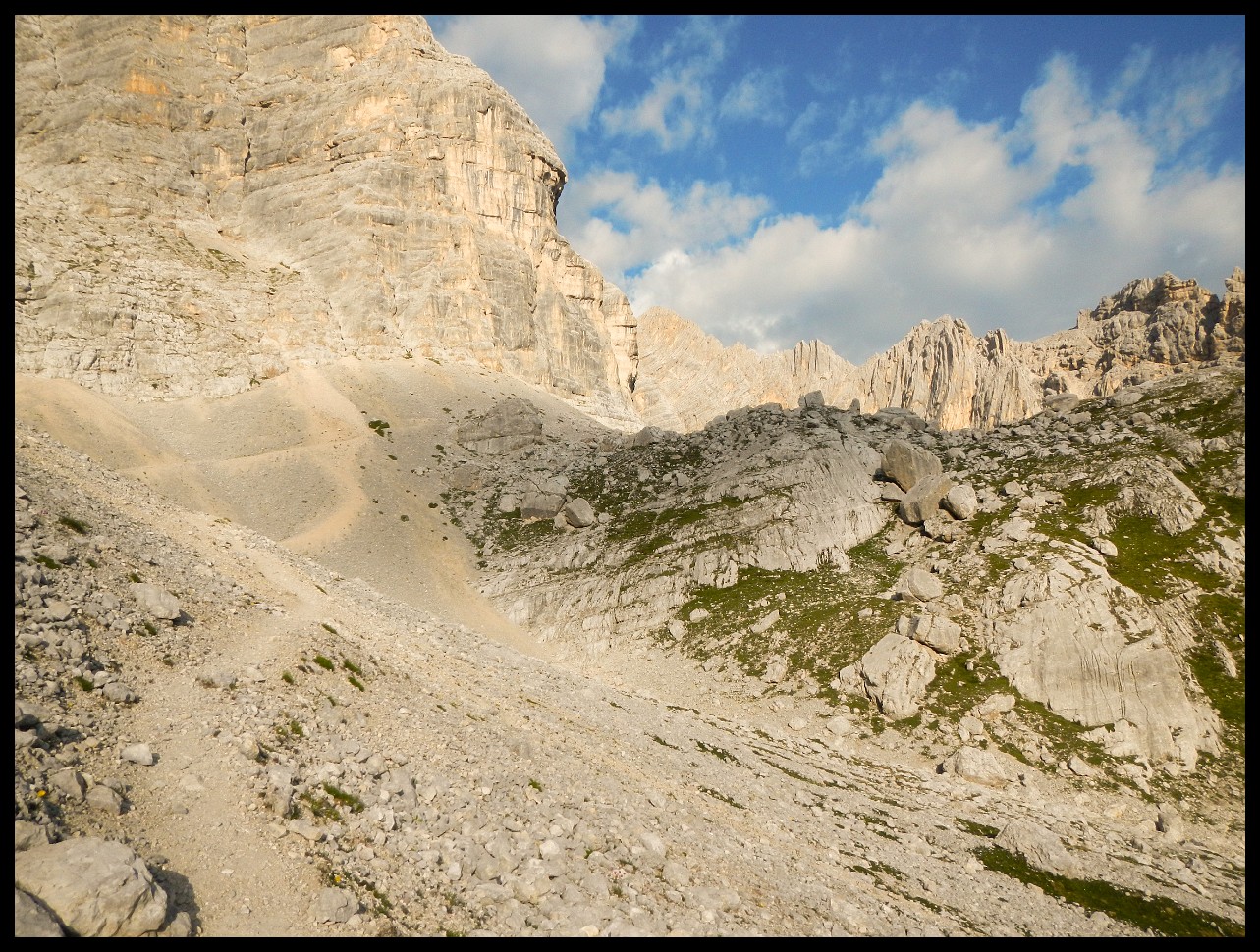
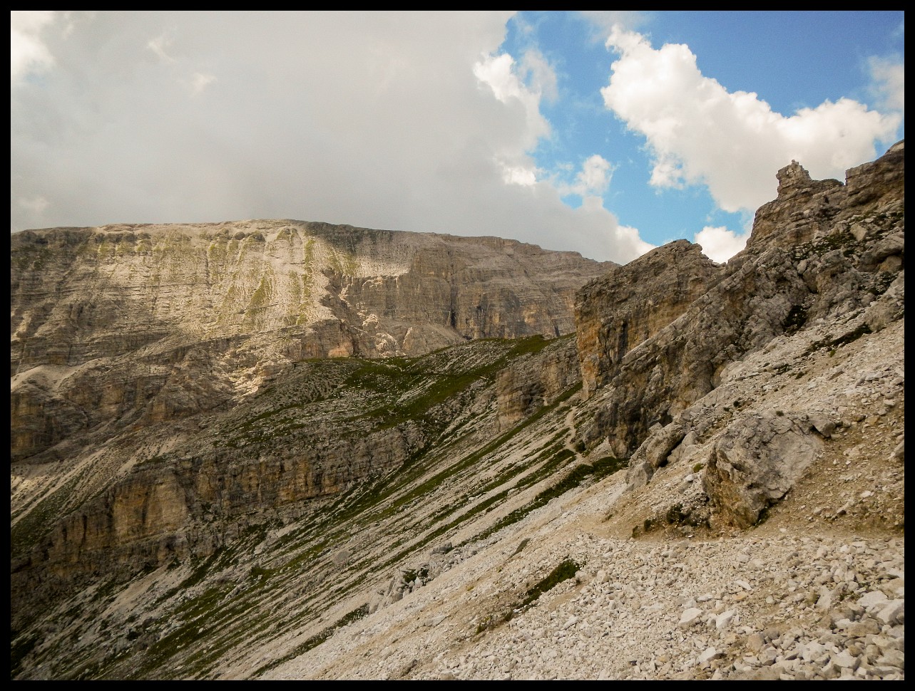
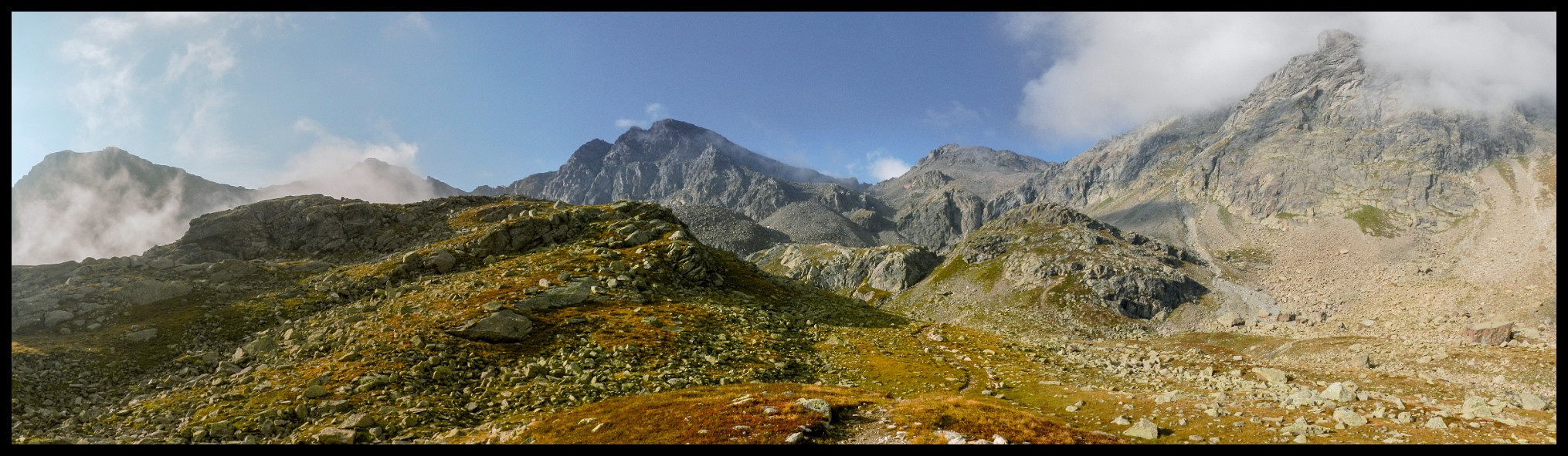
Looking back from a distance, it often looks impossible. But most of the time there is a narrow path after all.
On the way to San Vito di Cadore.
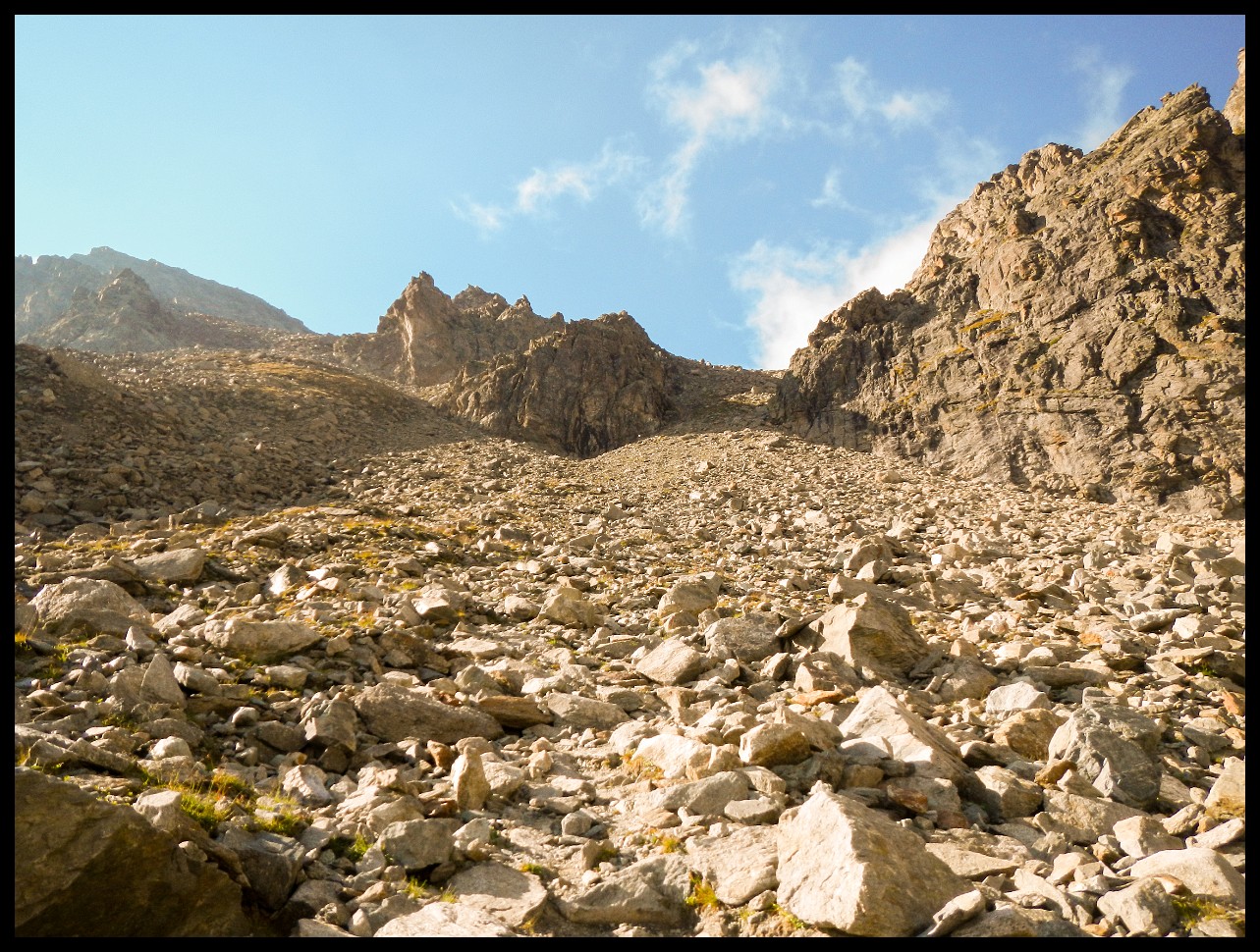
Another scramble ahead.
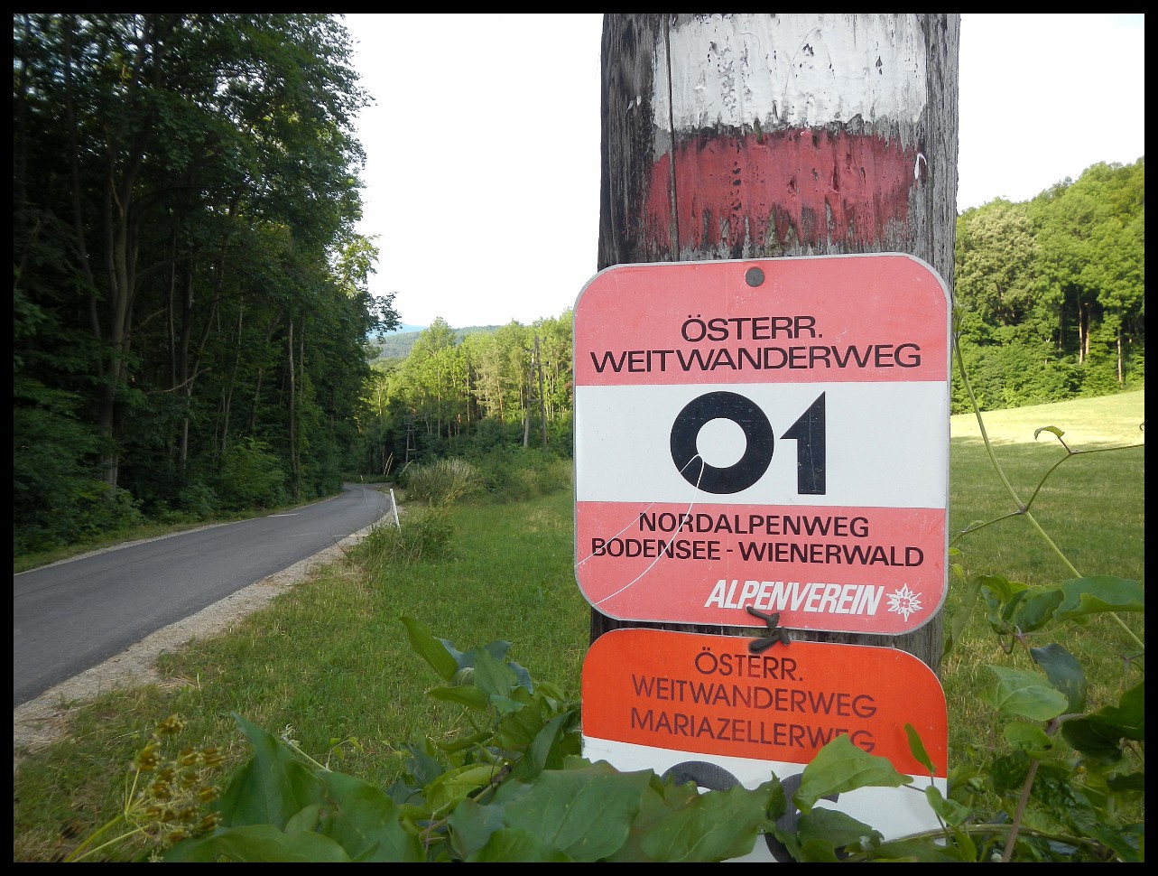
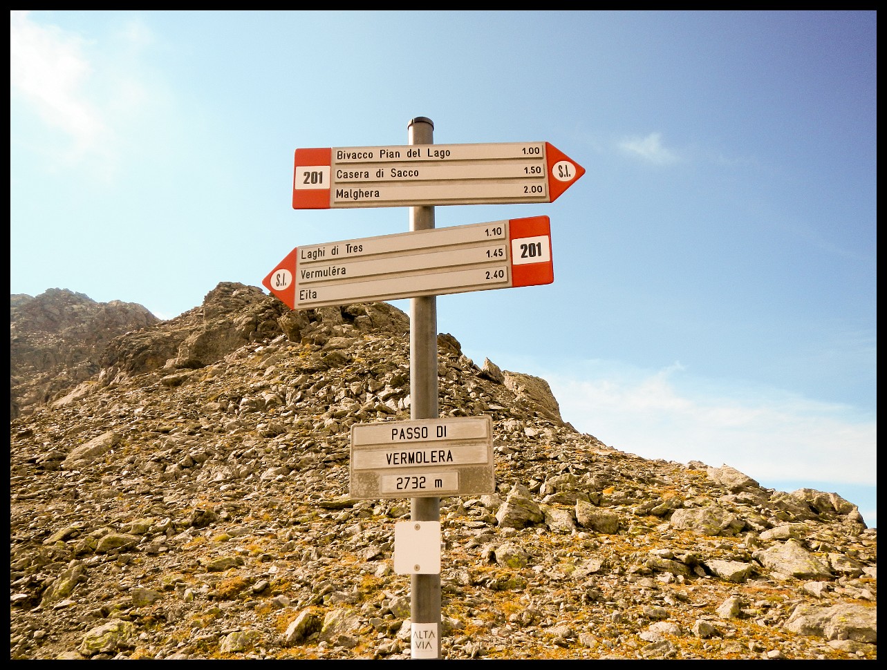
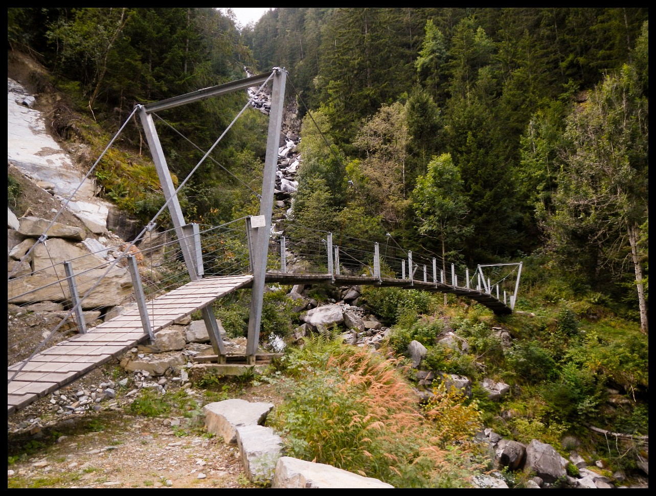
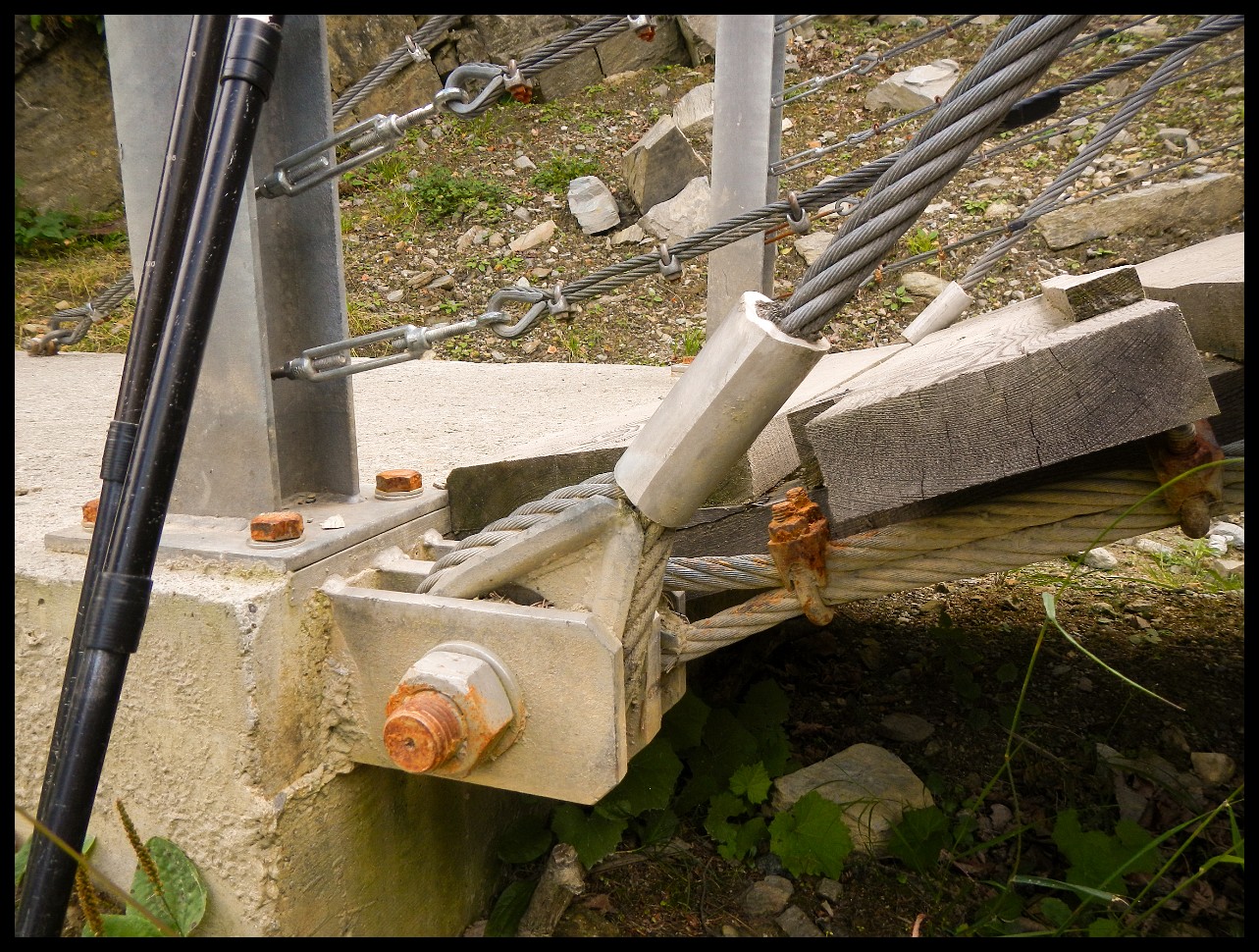
The origin of the name Via Ferrata: steel wires for belaying.
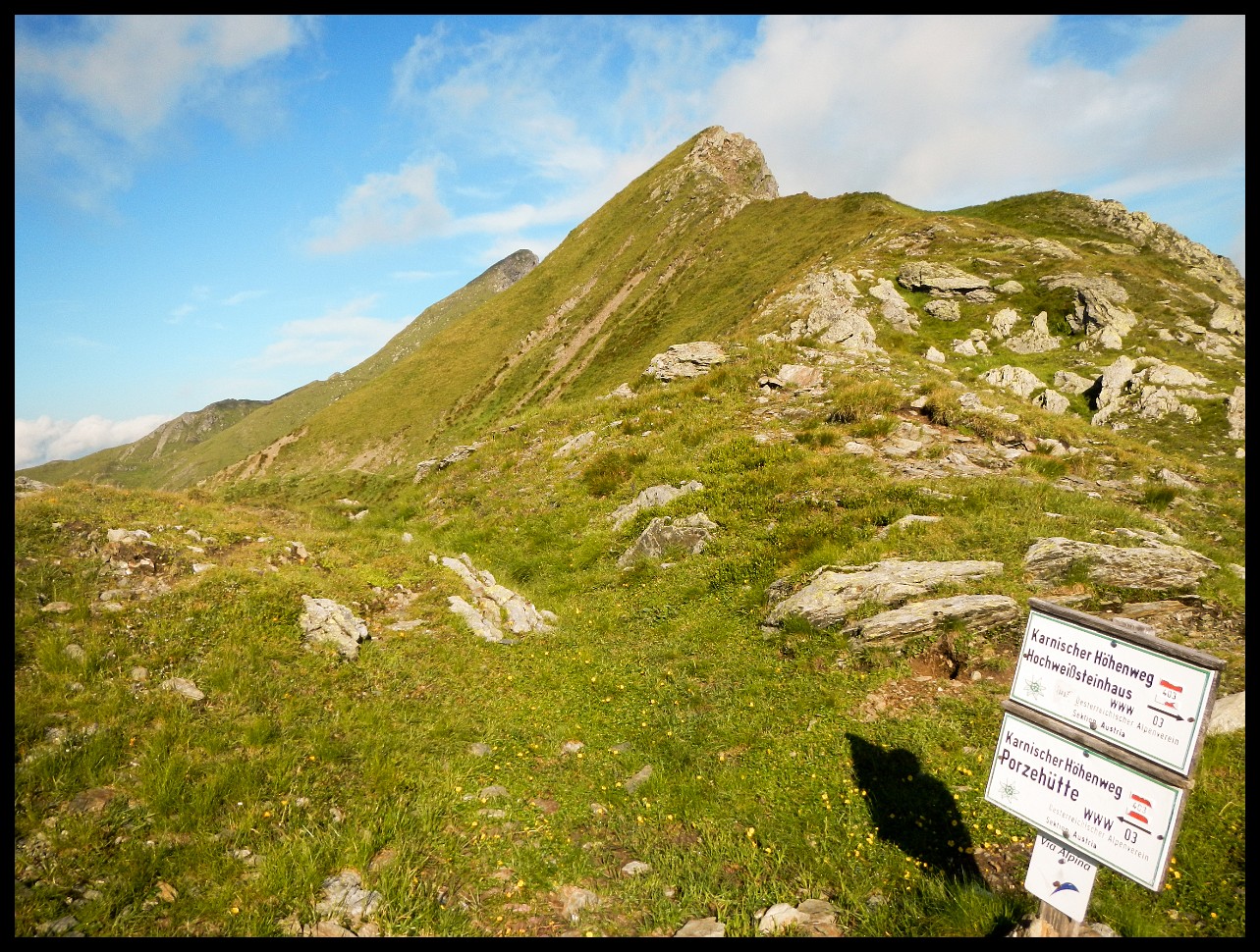
Looking back at the saddle I came across - V.
Looking back again.
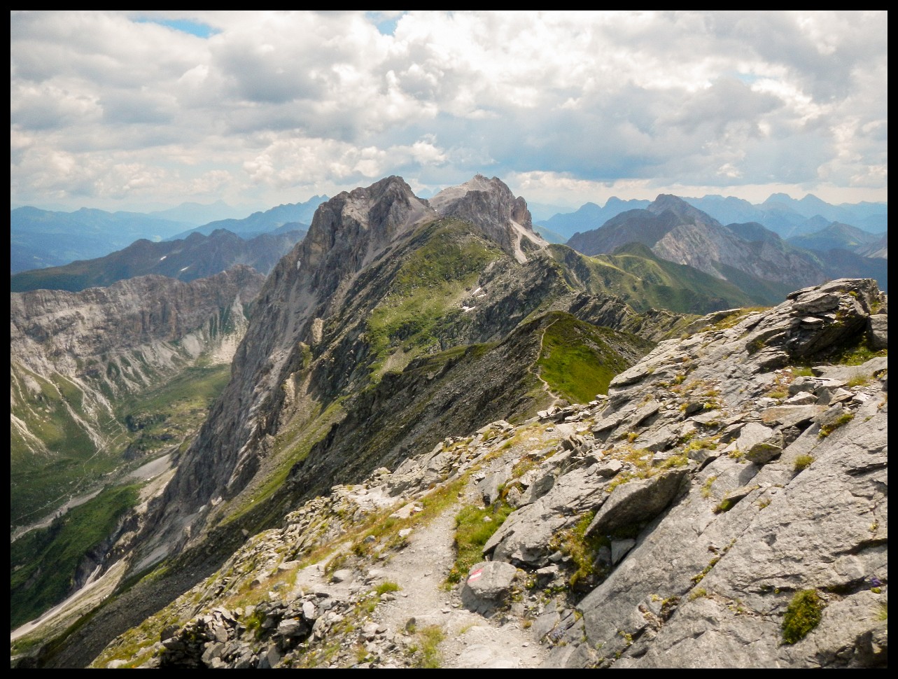
Looking back at the ridge I crossed before.
On my way to Colfosco.
Looking back at the trail coming from Colfosco.
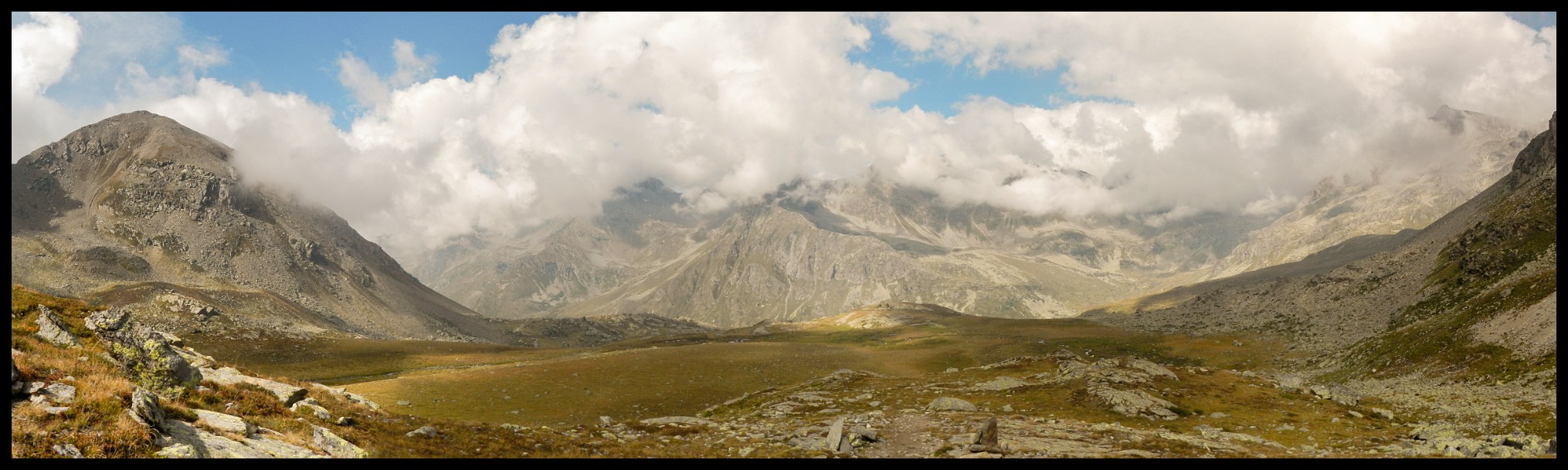
The Long Valley, with the village of Selva (Val Gardena) in the distance, with Col Turon and Ciastel de Chedul (about 2400m).
Coming from Colfosco (path on the left margin of the picture) through the V-shaped notch in the distance (left of center of picture), on the way to Rifugio Puez (on the right margin of the picture). And the Col dala Pieres (2747m) on the right.
Looking back shortly before reaching the Regensburger Hut.
On the way from the Regensburger Hut to Lajen, looking into the Val Gardena, Monte Pic (2363m) to the very right.
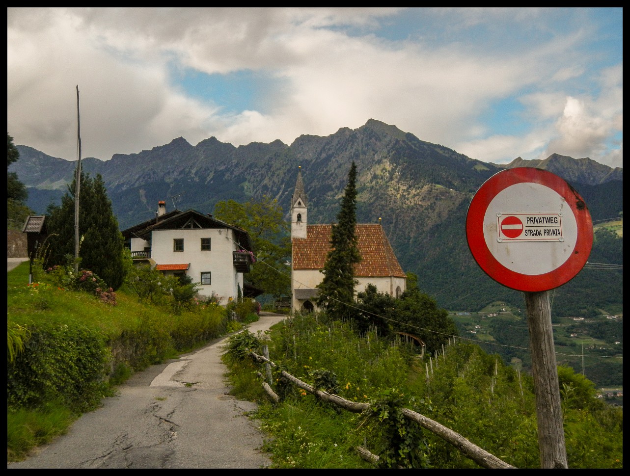
Lajen, South Tyrol (Walther von der Vogelweide).
On my way to Barbian.
The descent to Sarnthein.
The Reinegg Castle.
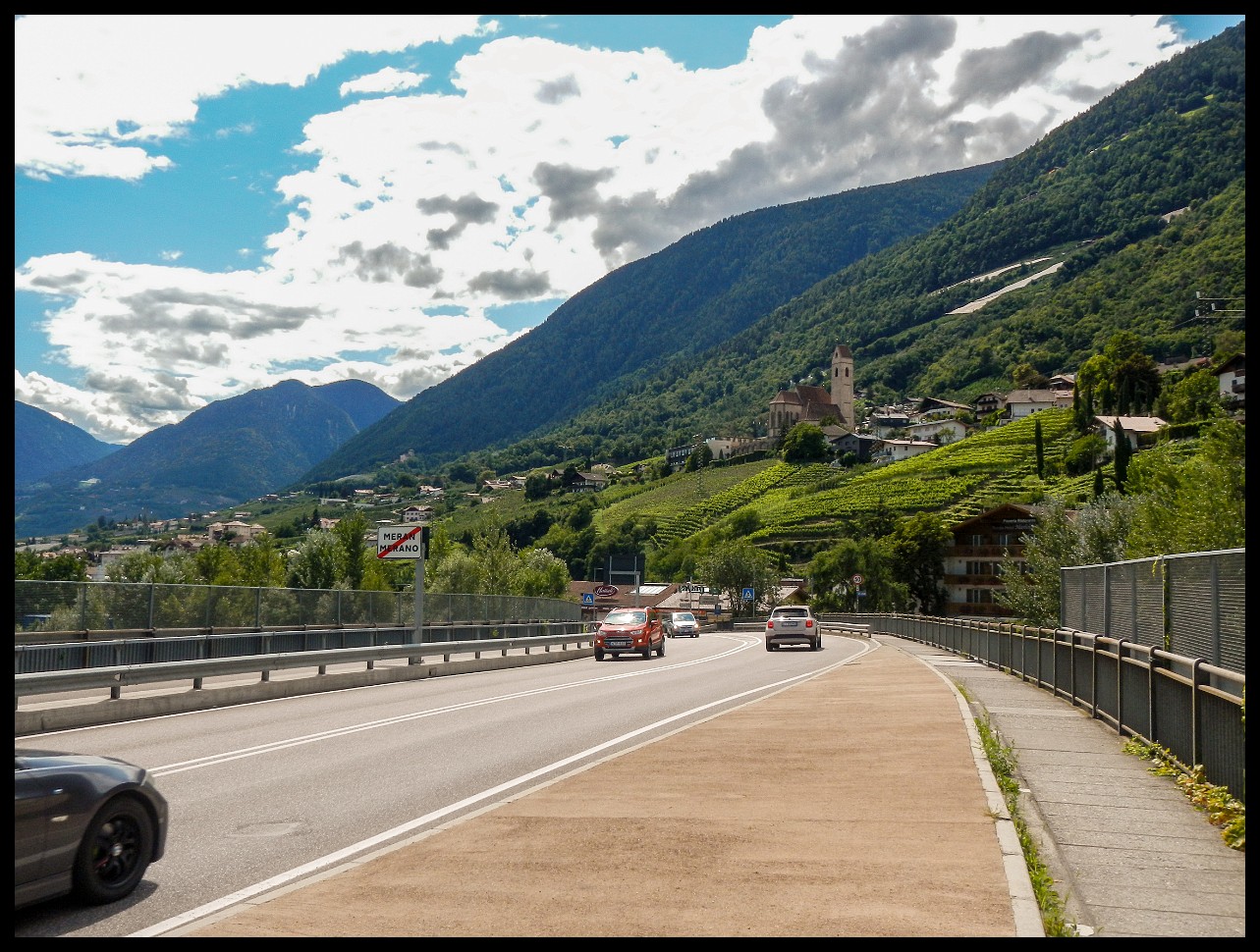
Passing through Merano.
Not really my cup of tea.
Looking back at where I came from. With the Vintschgau Valley in the low.
And up over the next pass.
A challenging crossing in the distance, to the right of the summit (Hasenöhrl 3257m) and snowfield.
And an initially rugged trail back down again.
Martell Village, Martell Valley.
The trail straight through someone's homestead.
Looking back at Martell, South Tyrol. With the Flimkanzel (3113m) in the distance.
The trail to Stelvio with the Ortles group in the distance.
On the way to the Stelvio Pass with a view of the Ortles group.
On the way to Passo Stelvio.
On the descent from Bocchetta di Forcola (2768 m), Valdidentro, Italy. With a casern of the Alpini during WW I.
To the right down into the next valley.
Down into the Valdidentro valley.
Cima de Piazzi (3439m), on the way to Arnoga, coming from Valdidentro.
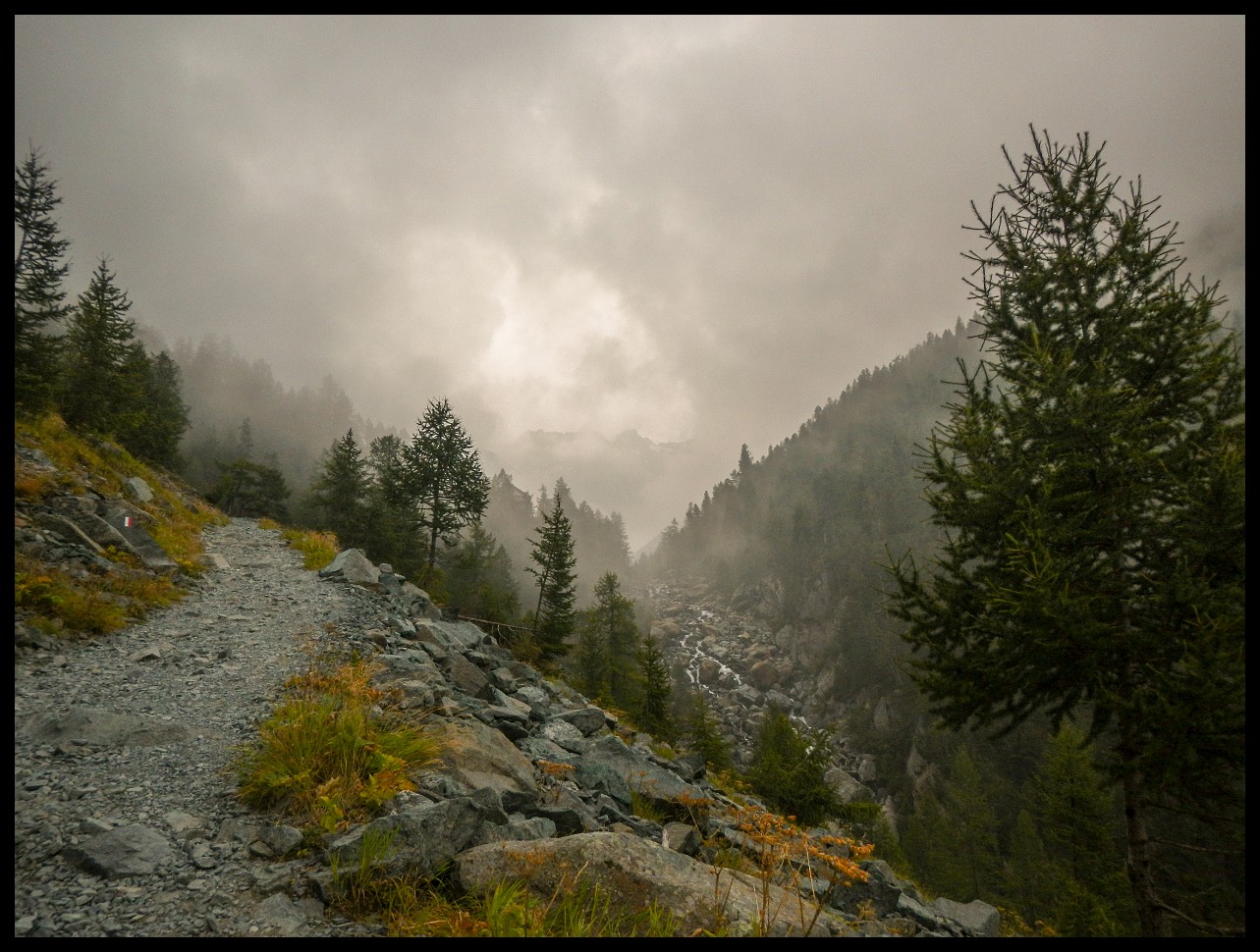
Down to Poschaviao.
Passo di Campagneda: 2615m.
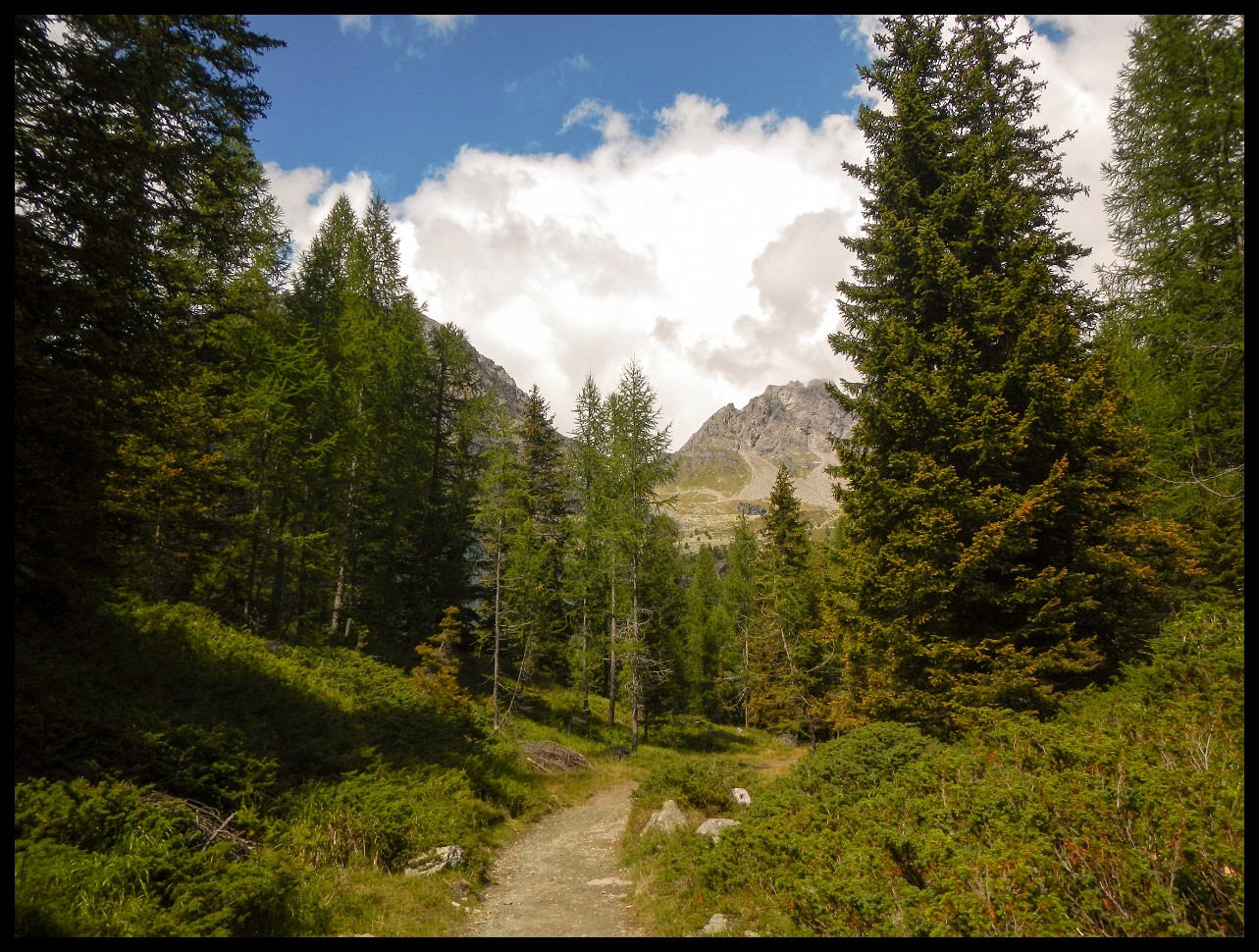
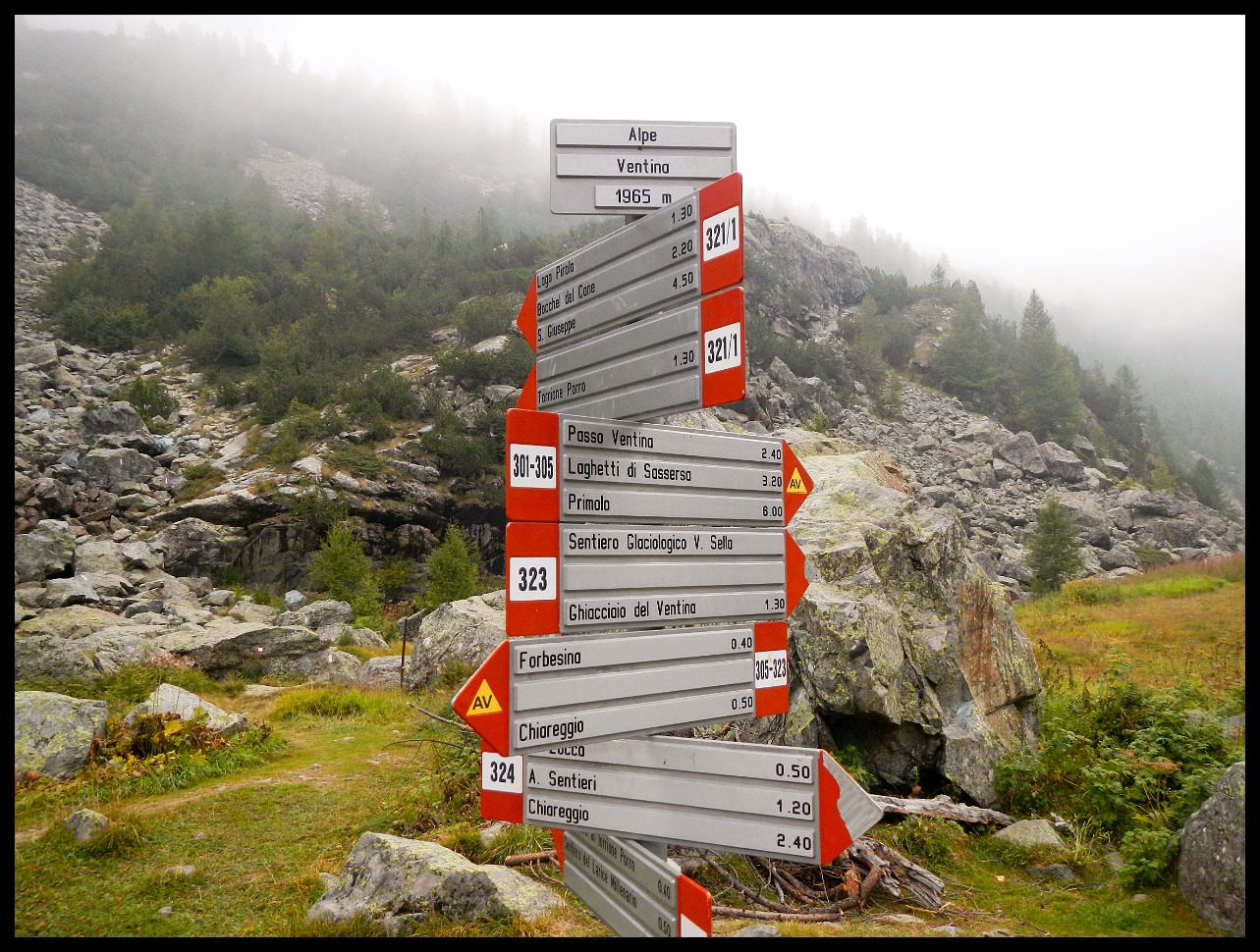
On the way to Chiareggio.
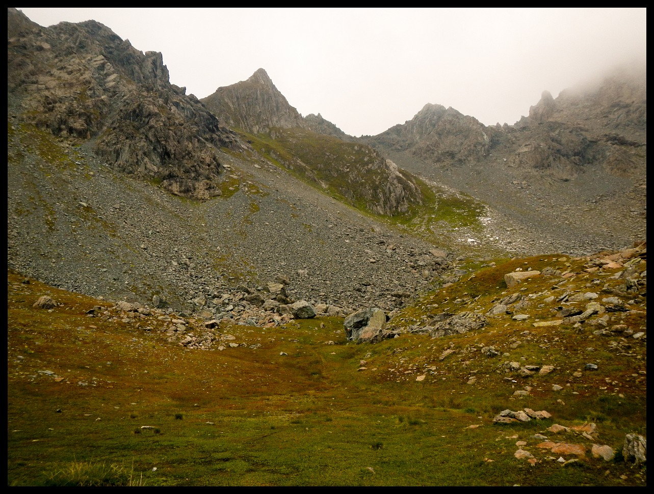
Easy to lose the trail here.
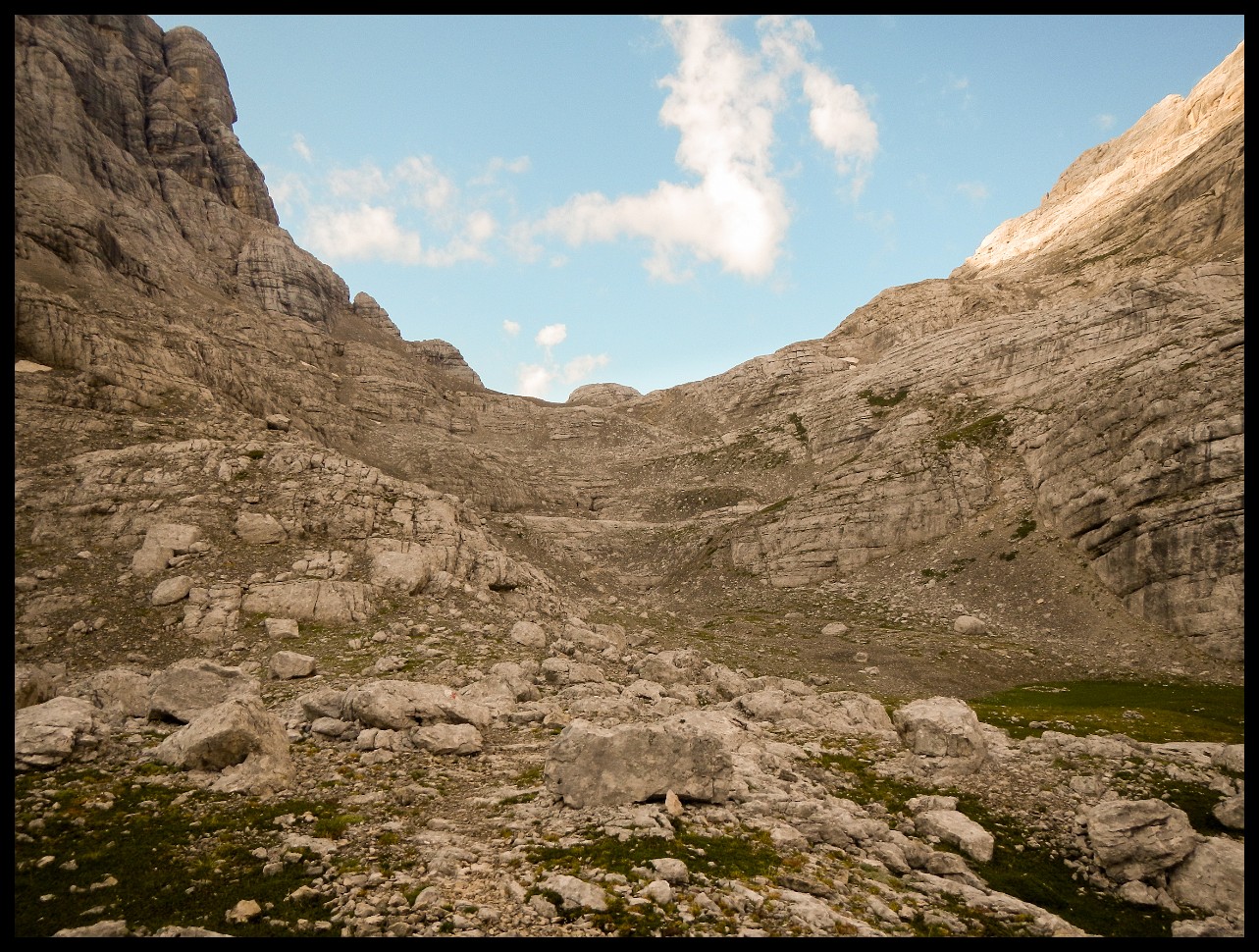
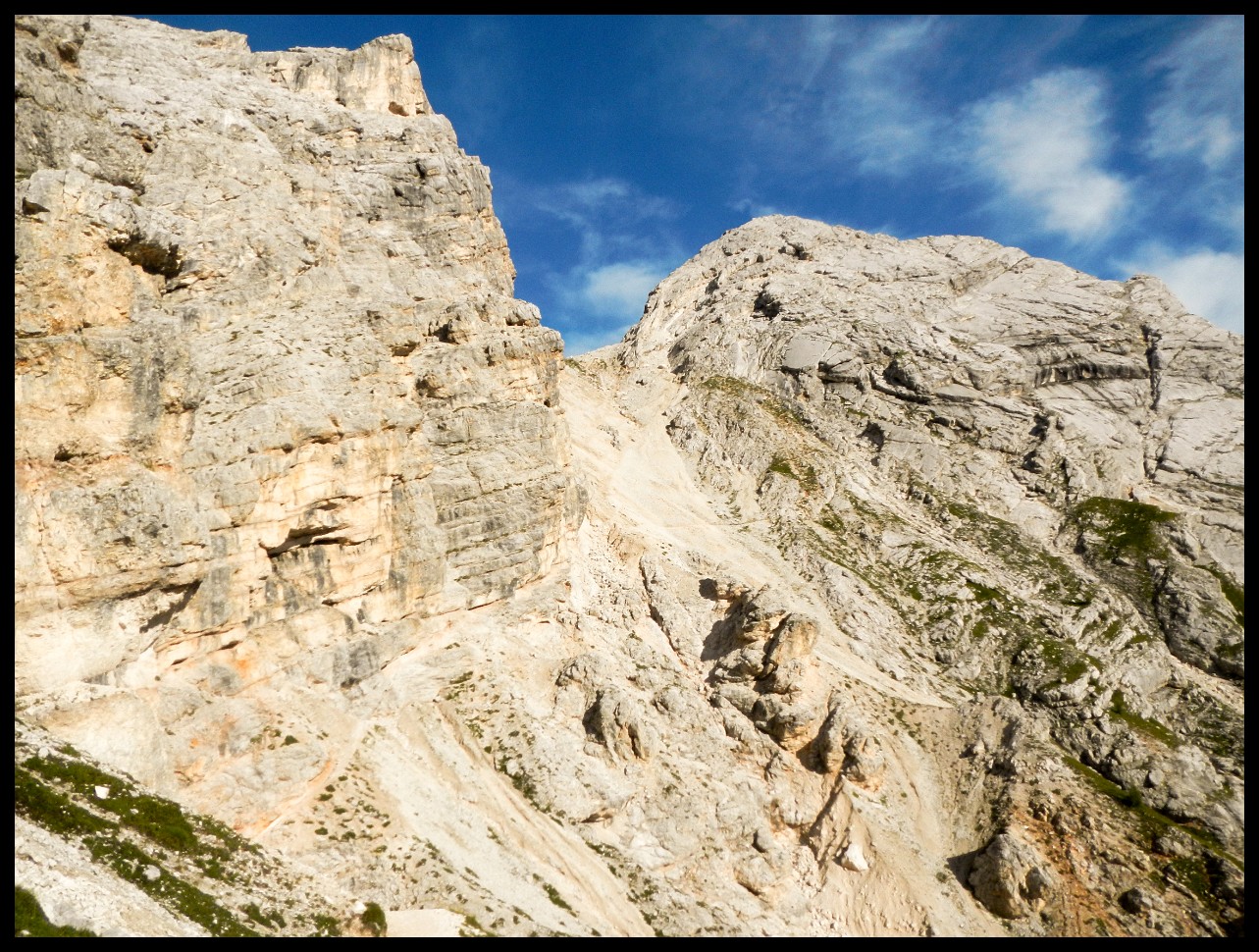
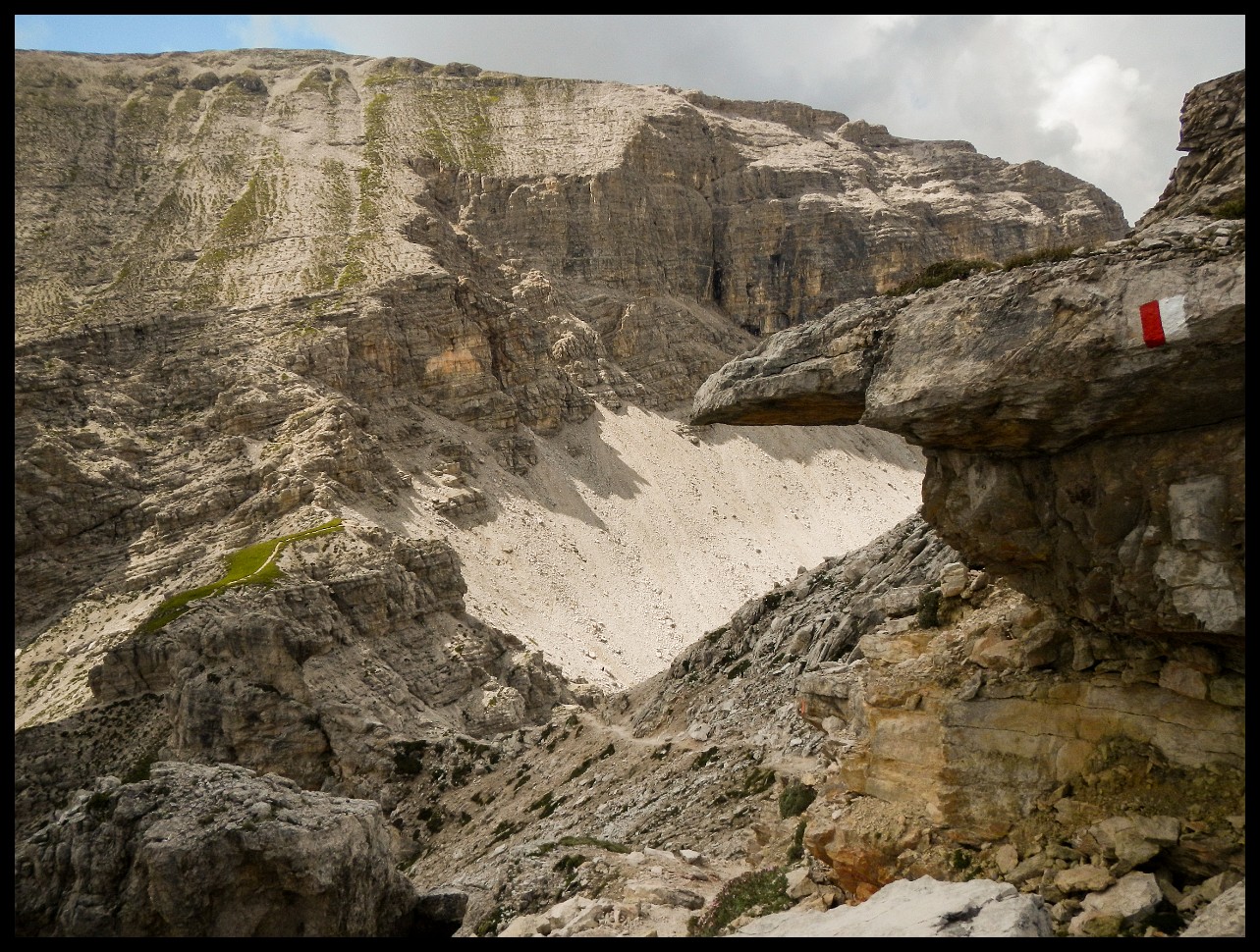
Once again, the question: How does one get across?
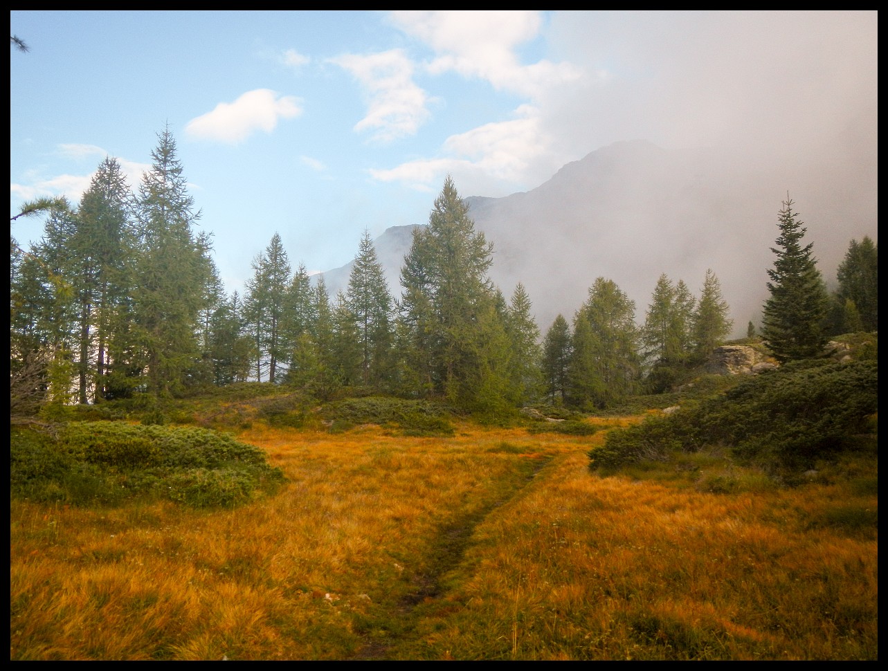
Cevo.
A final alpine pass is to scale: Passo di Primalpia, 2477m (center of picture). But first, a suitable place for the night is to be found.
Getting lost here for a while, not finding the proper trail.
The long descent of more than 2200 meters of altitude down to Verceia with Lago di Mezzola and Lago di Como in the distance.


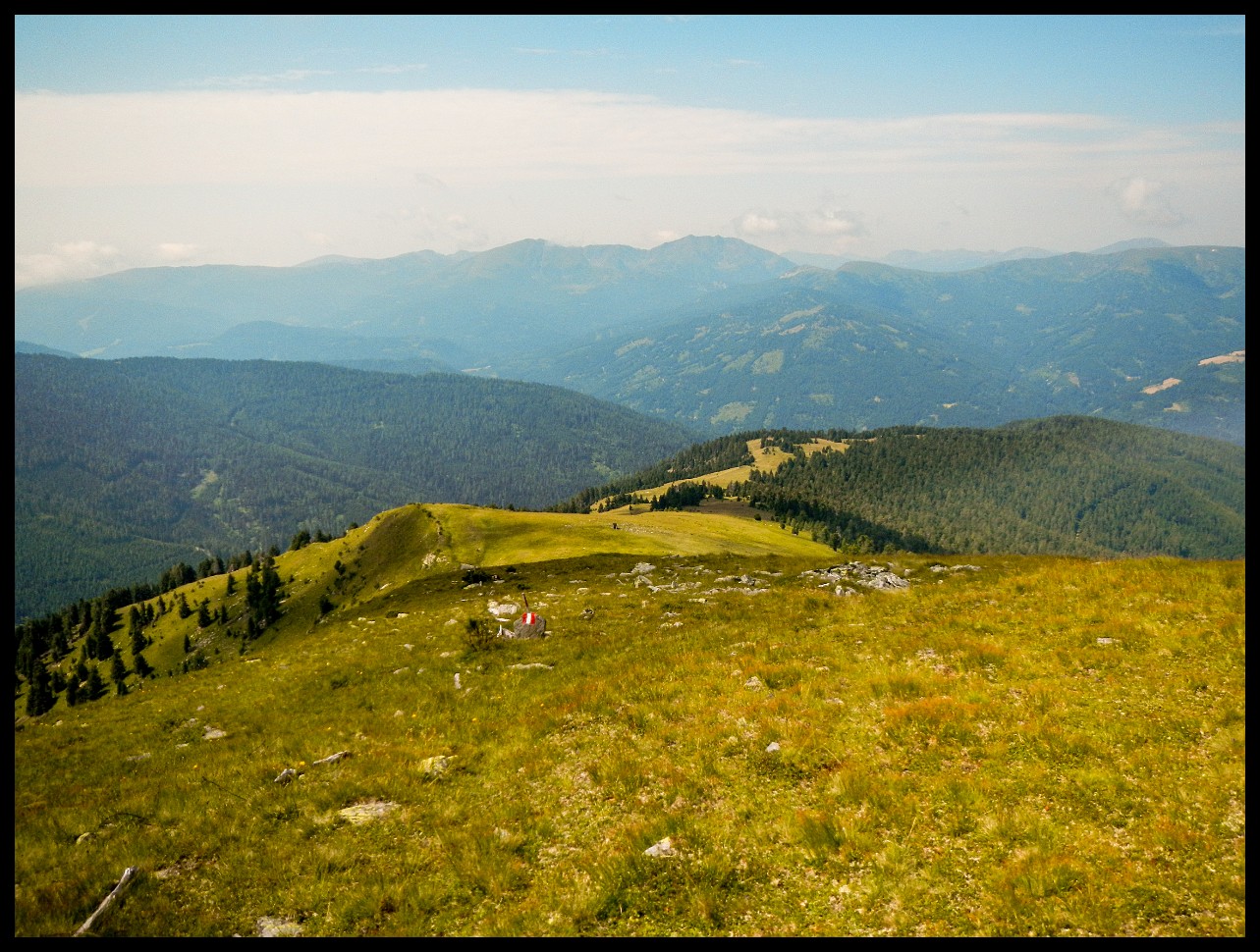


 that I passed 2 days before. And the faint path on the left hillside.")


 via ferrata.")
.")


, this wall must be overcome. A path is visible in the wall that leads from the left at an angle of less than 45 degrees to the V-shaped saddle (about 2700 m) to the left of the center of the picture.")


 in the distance, with Col Turon and Ciastel de Chedul (about 2400m).")
 through the V-shaped notch in the distance (left of center of picture), on the way to Rifugio Puez (on the right margin of the picture). And the Col dala Pieres (2747m) on the right.")

 to the very right.")
.")


 and snowfield.")


 in the distance.")


, Valdidentro, Italy. With a casern of the Alpini during WW I.")


, on the way to Arnoga, coming from Valdidentro.")


. But first, a suitable place for the night is to be found.")