Javascript must be enabled
for this page to function properly.
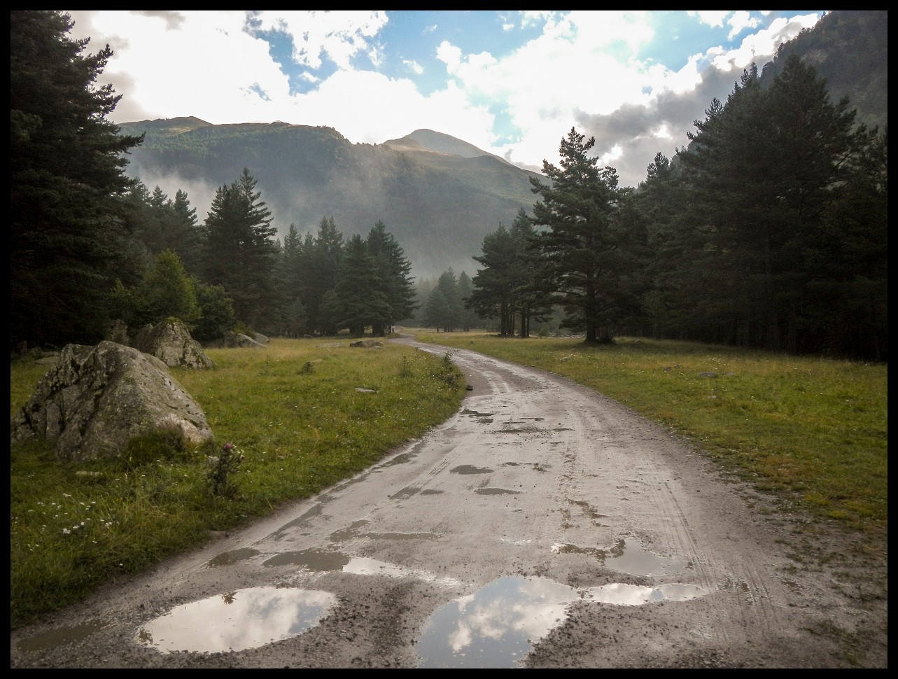
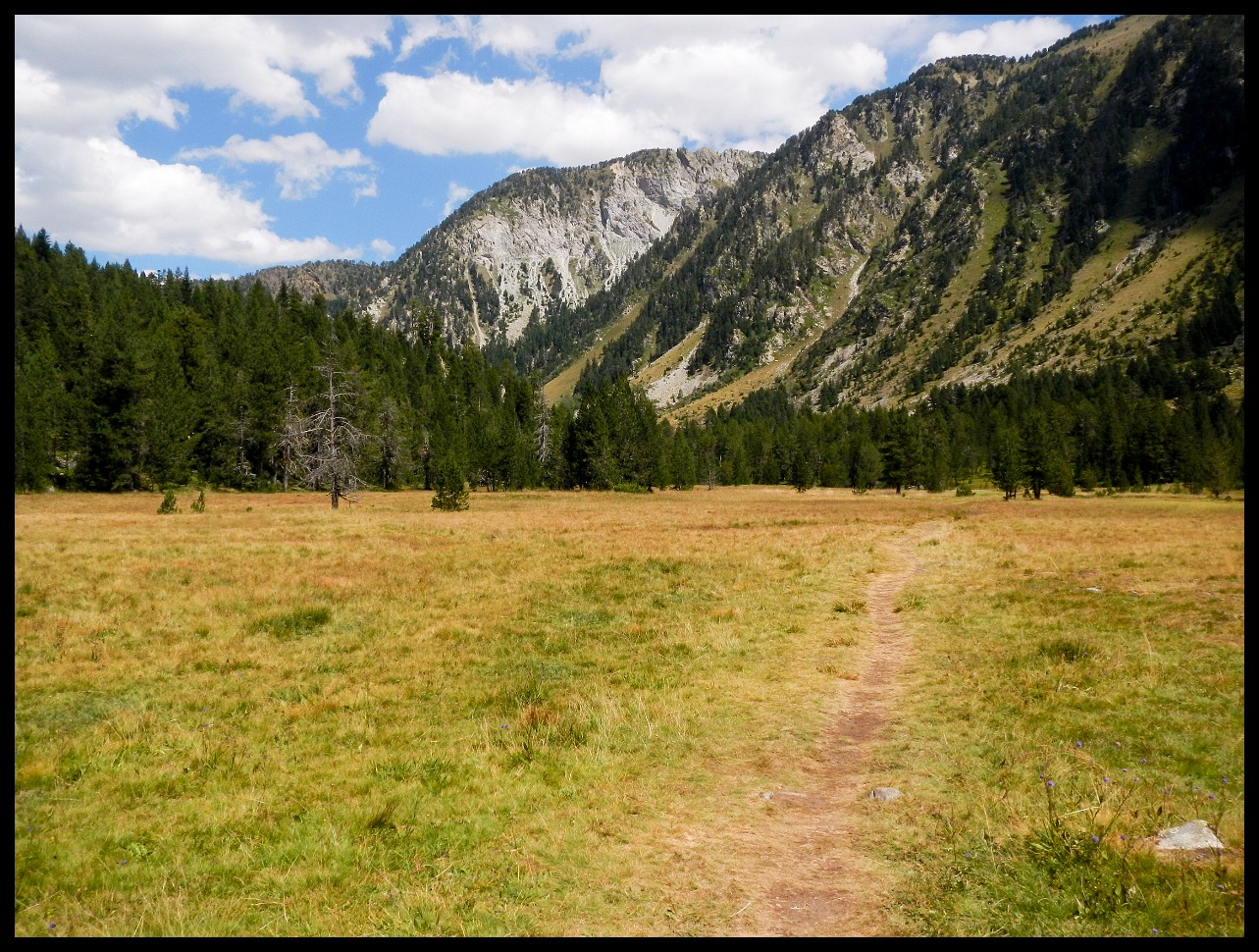
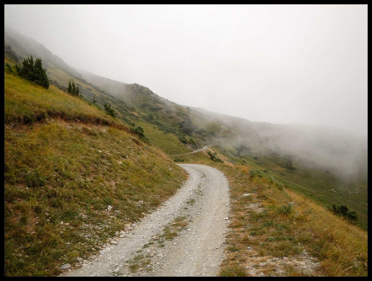
HRP 2020 - The Trail - Nikon Coolpix AW100
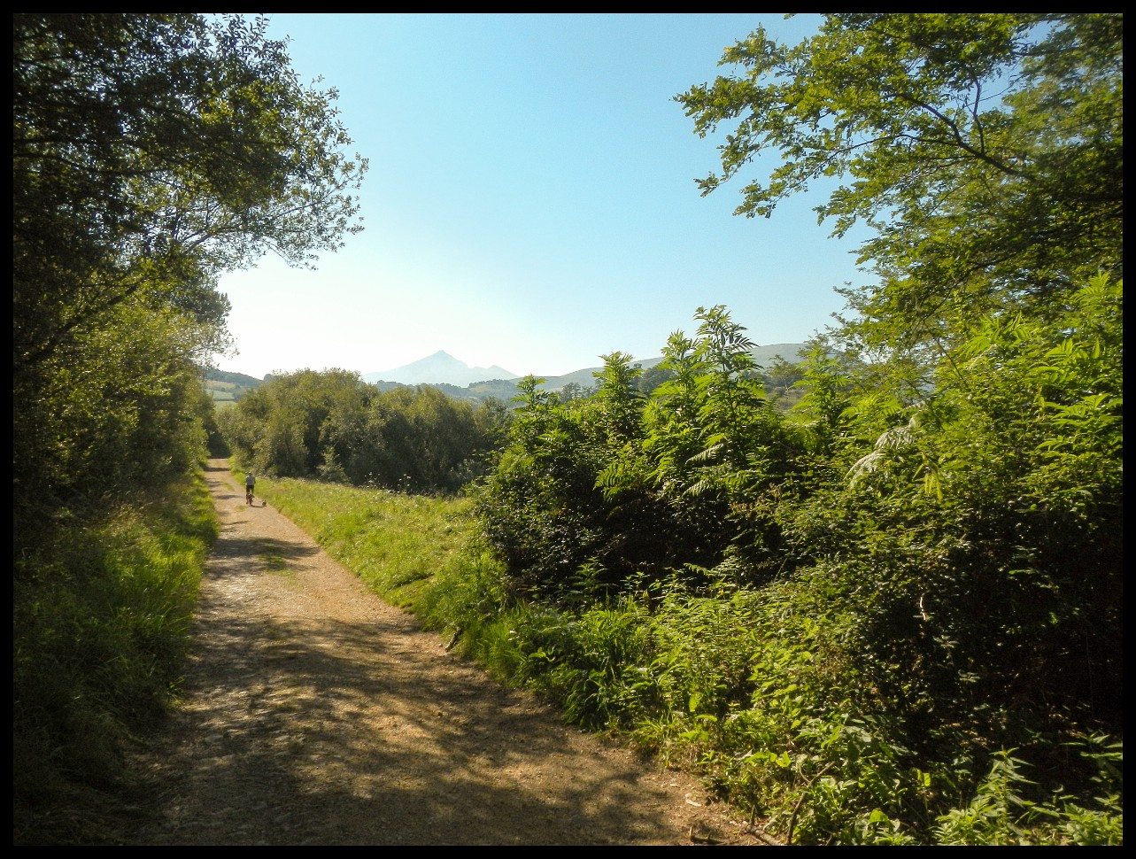
Hendaye, France. July 18th 2020. Day 1, early in the morning looking west towards Irun, Spain.
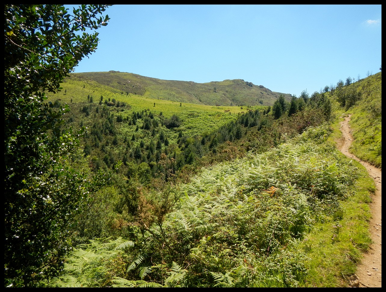
Basque is considered the only isolated language in Europe.
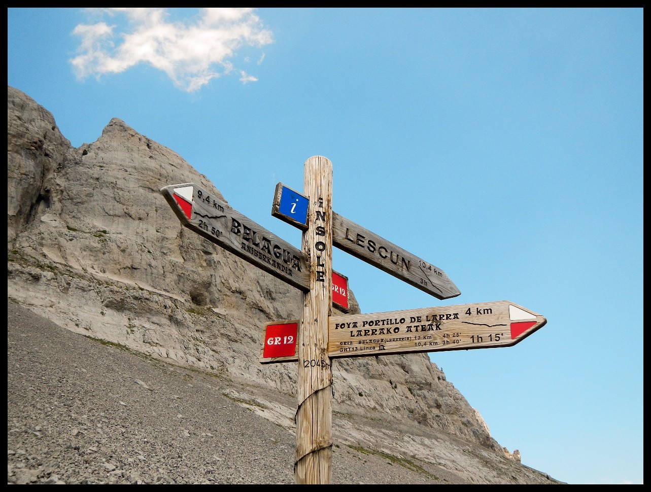
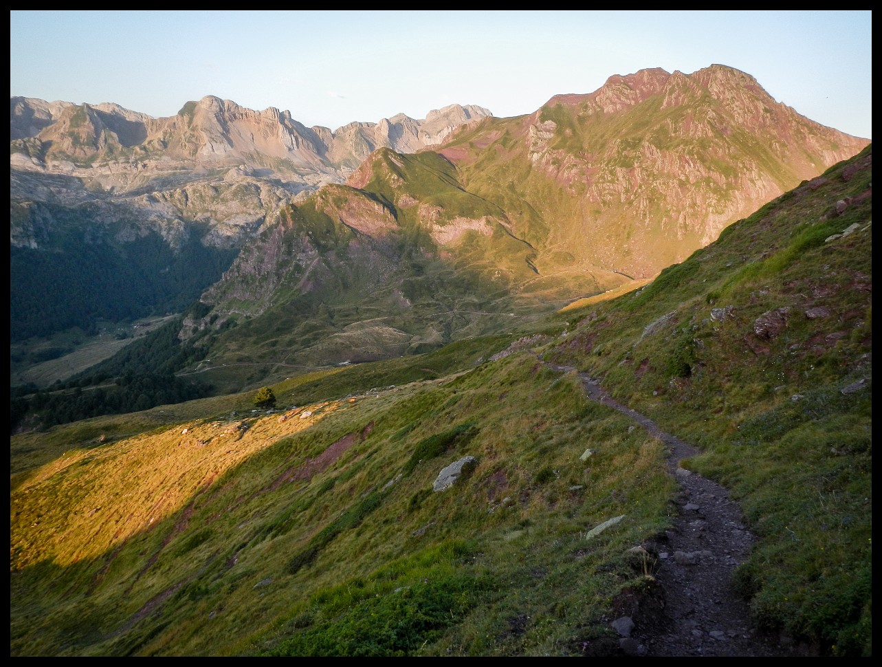
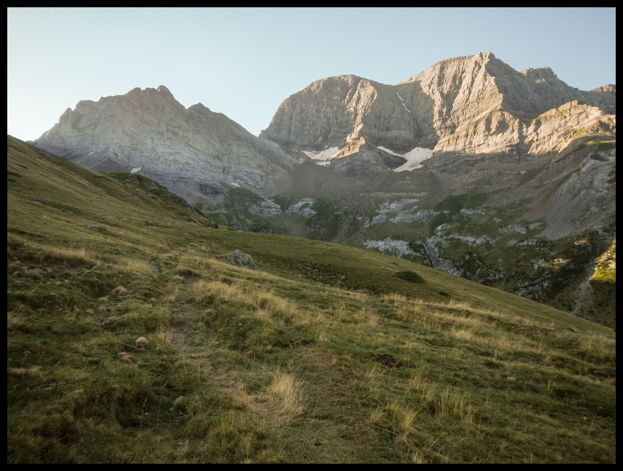
Lescun.
Happy pigs. How different from industrial factory farming.
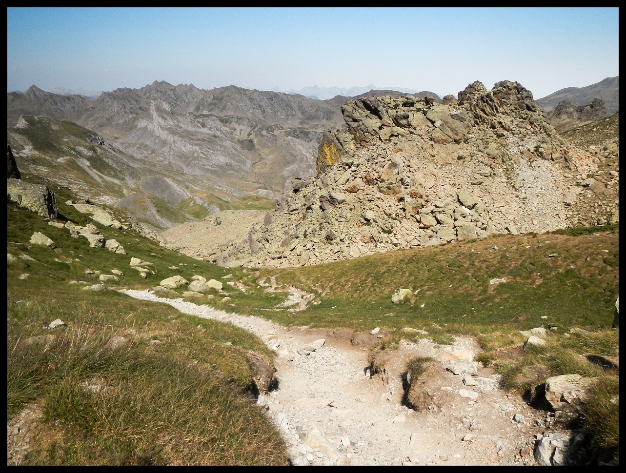
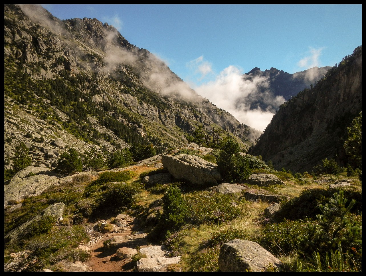
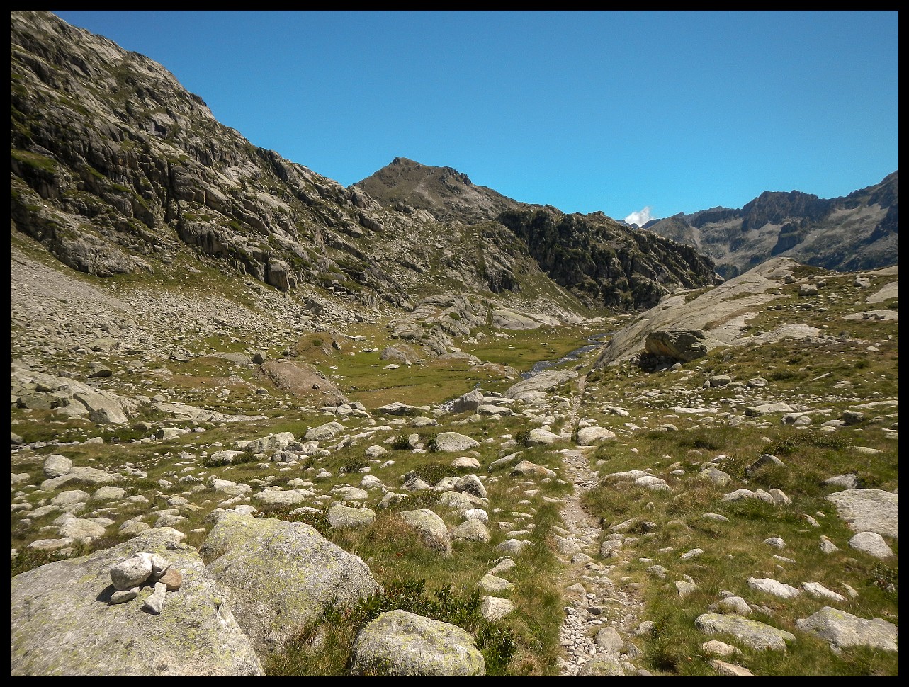
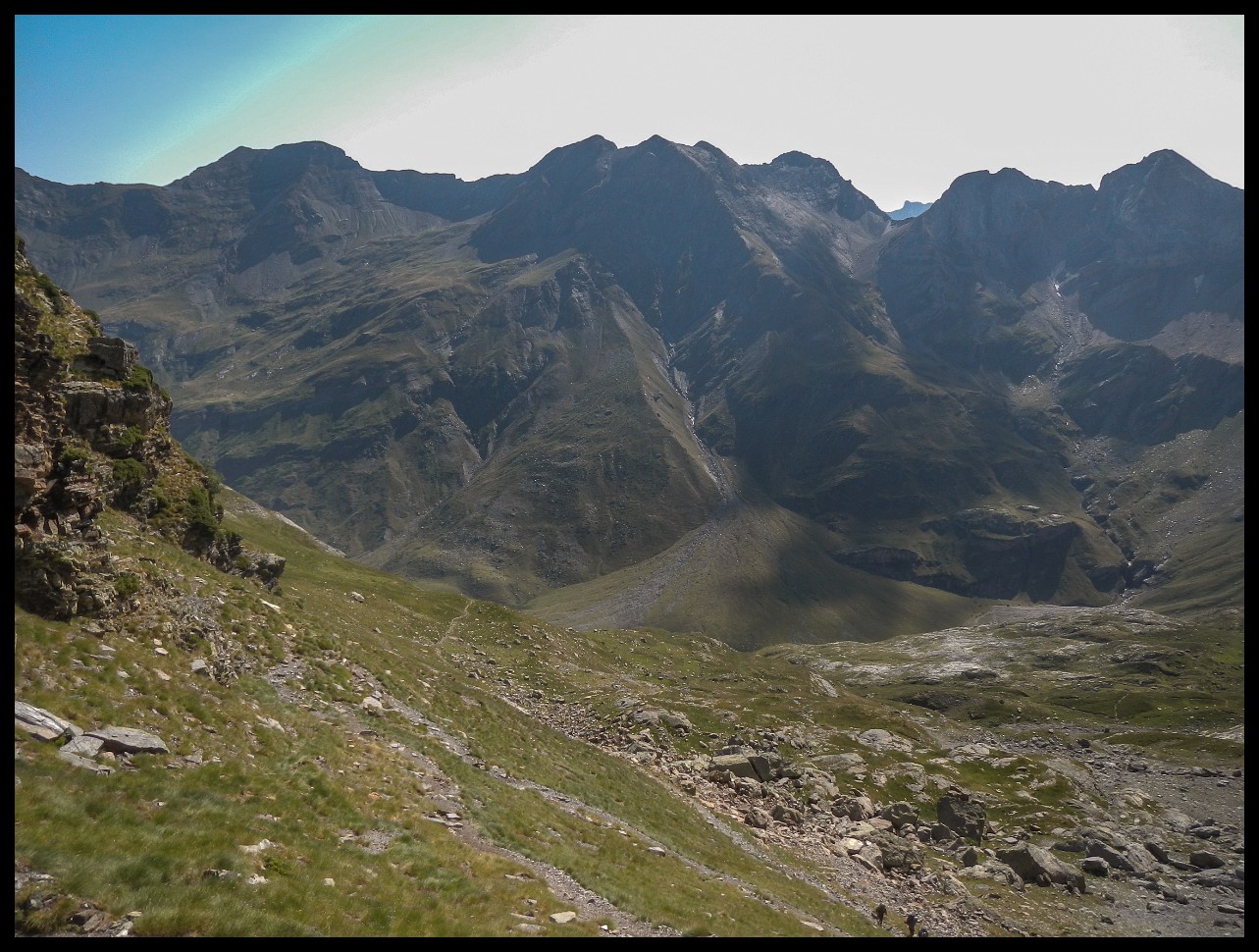
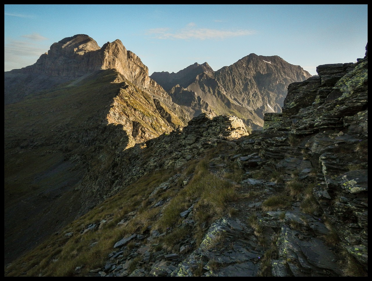
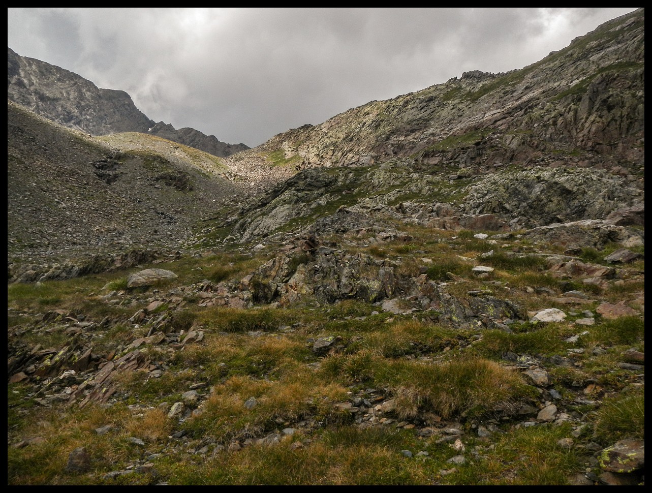
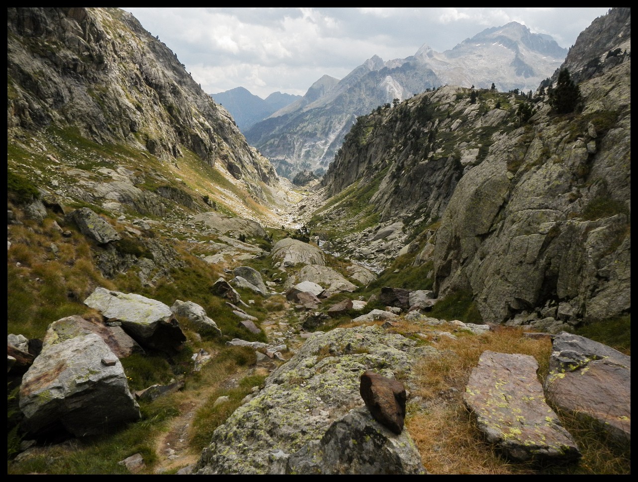
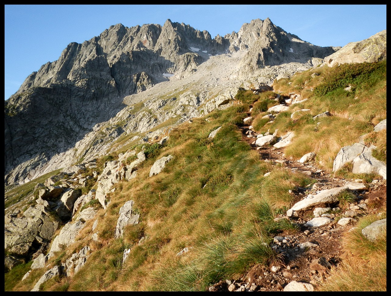
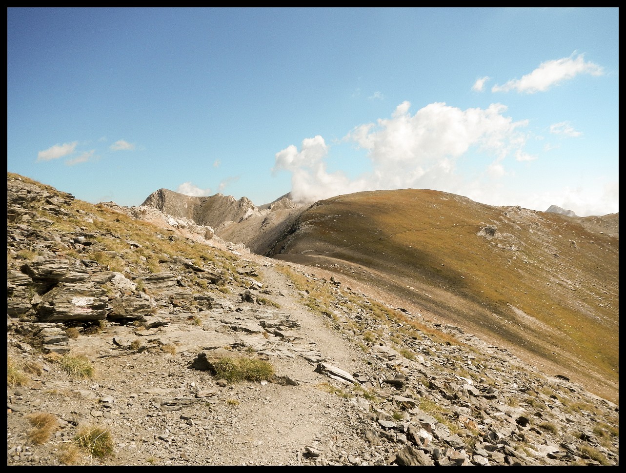
Note the people scrambling around slightly above dead centre. Such was the trail more than once.
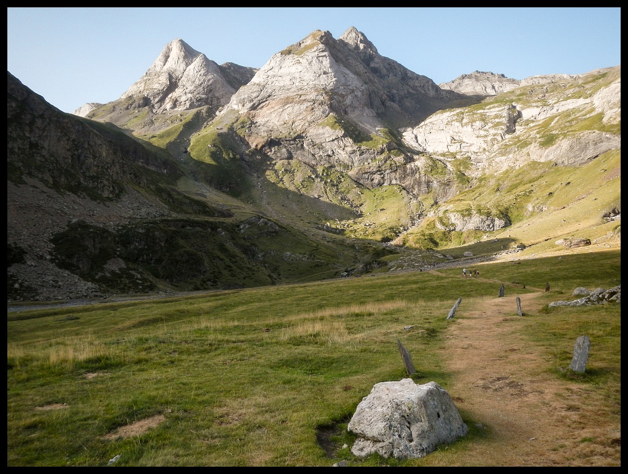
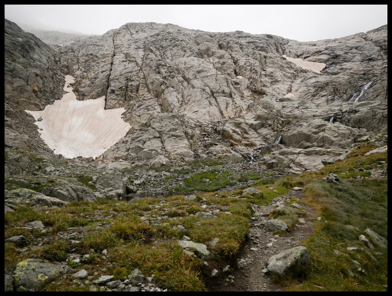
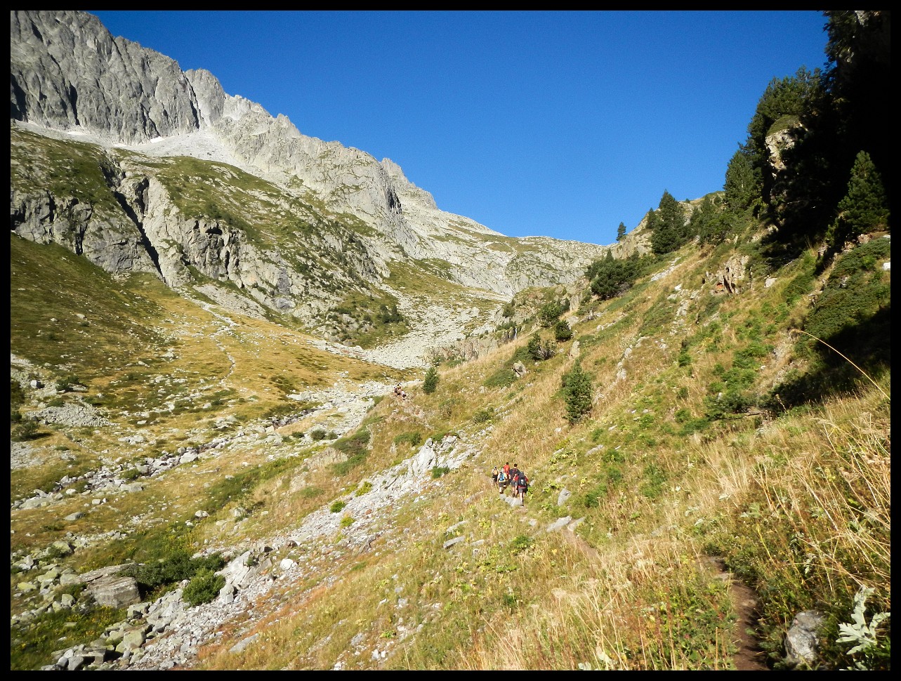
People just about to cross the small snow patch in the centre. More people on the trail to the right.
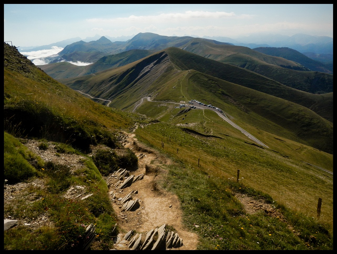
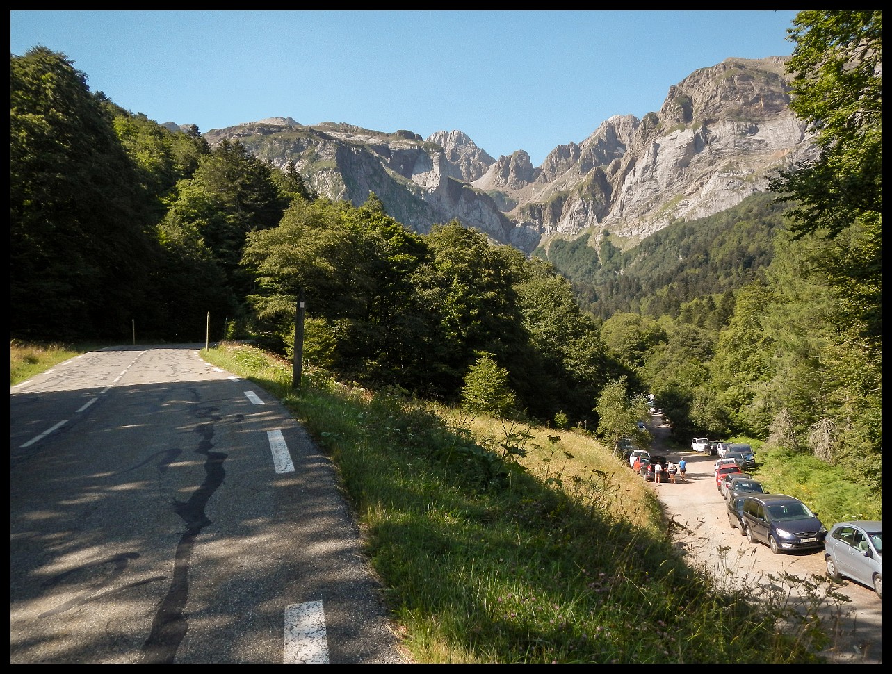
Gavarnie, France. An absolute nightmare. Hundreds of cars lining the street.
Cirpue de Gavarnie early in the morning.
This mountain wall had to be overcome.
Down to Parzan for resupply.
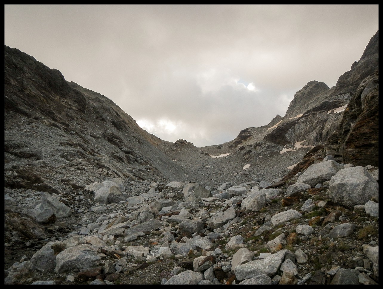
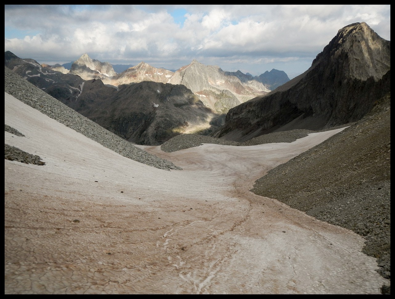
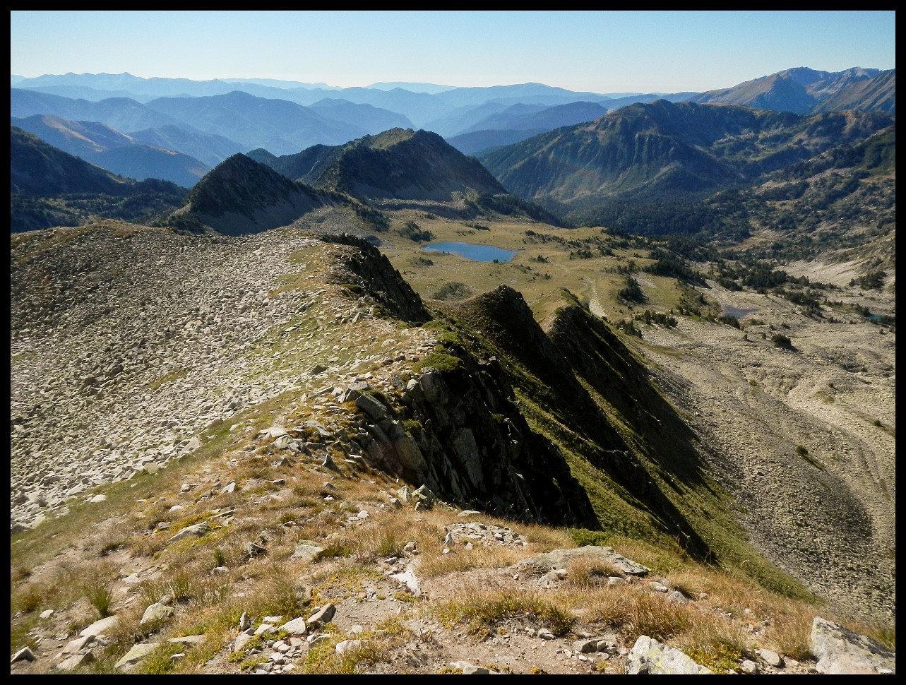
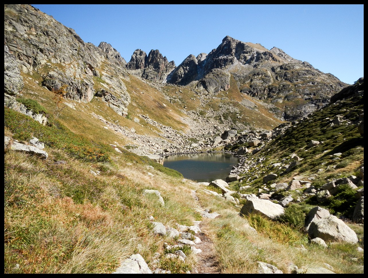
Lac des Isclots, France (2400 m). Before scrambling up Col des Gourgs Blancs at 2876 m (right of centre).
Looking back down from Col des Gourgs Blancs.
The descent. People on the snow patch.
Looking back.
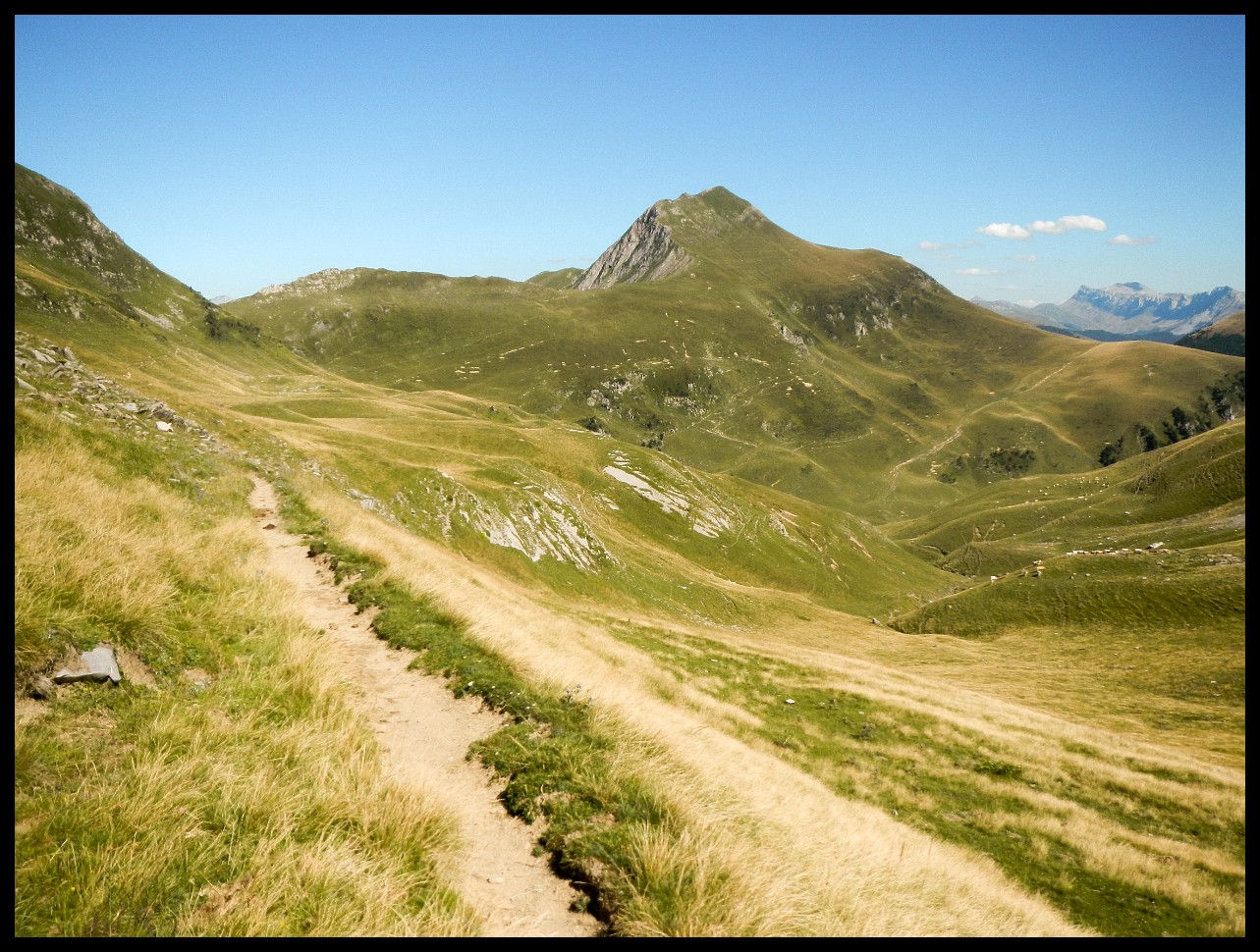
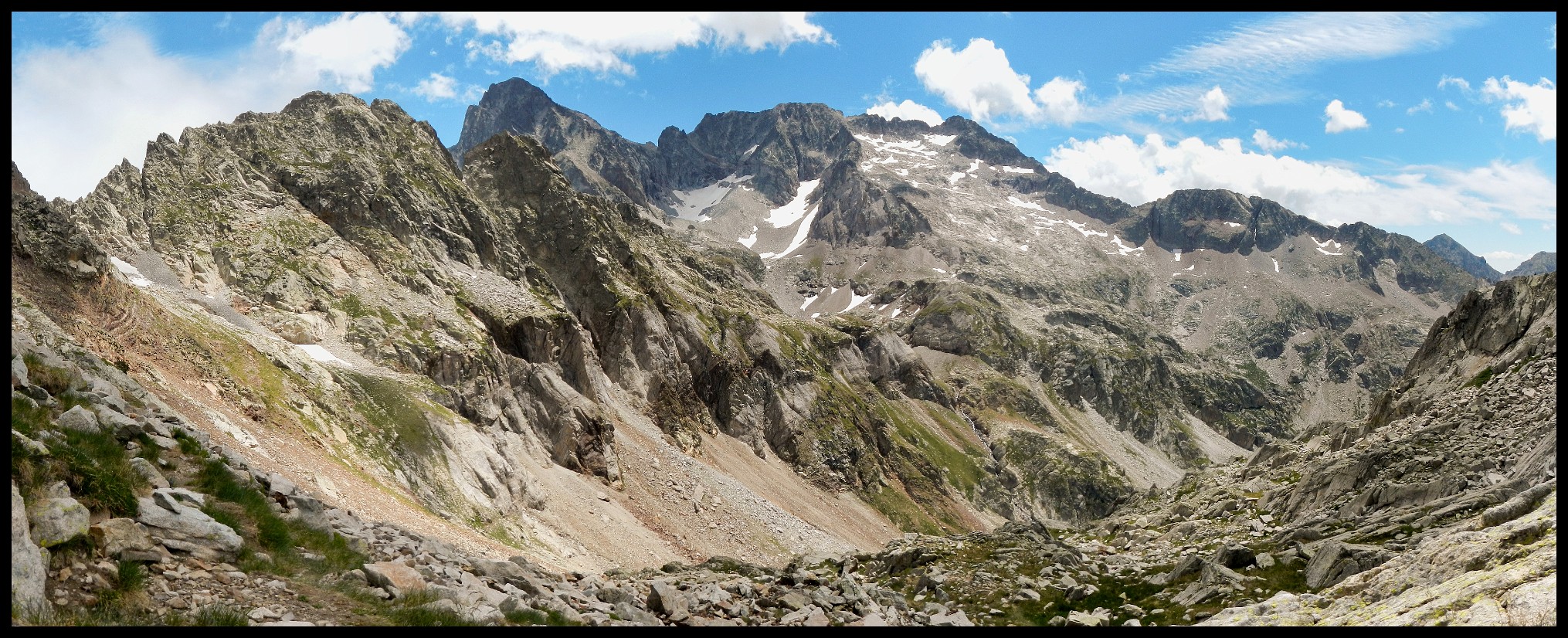
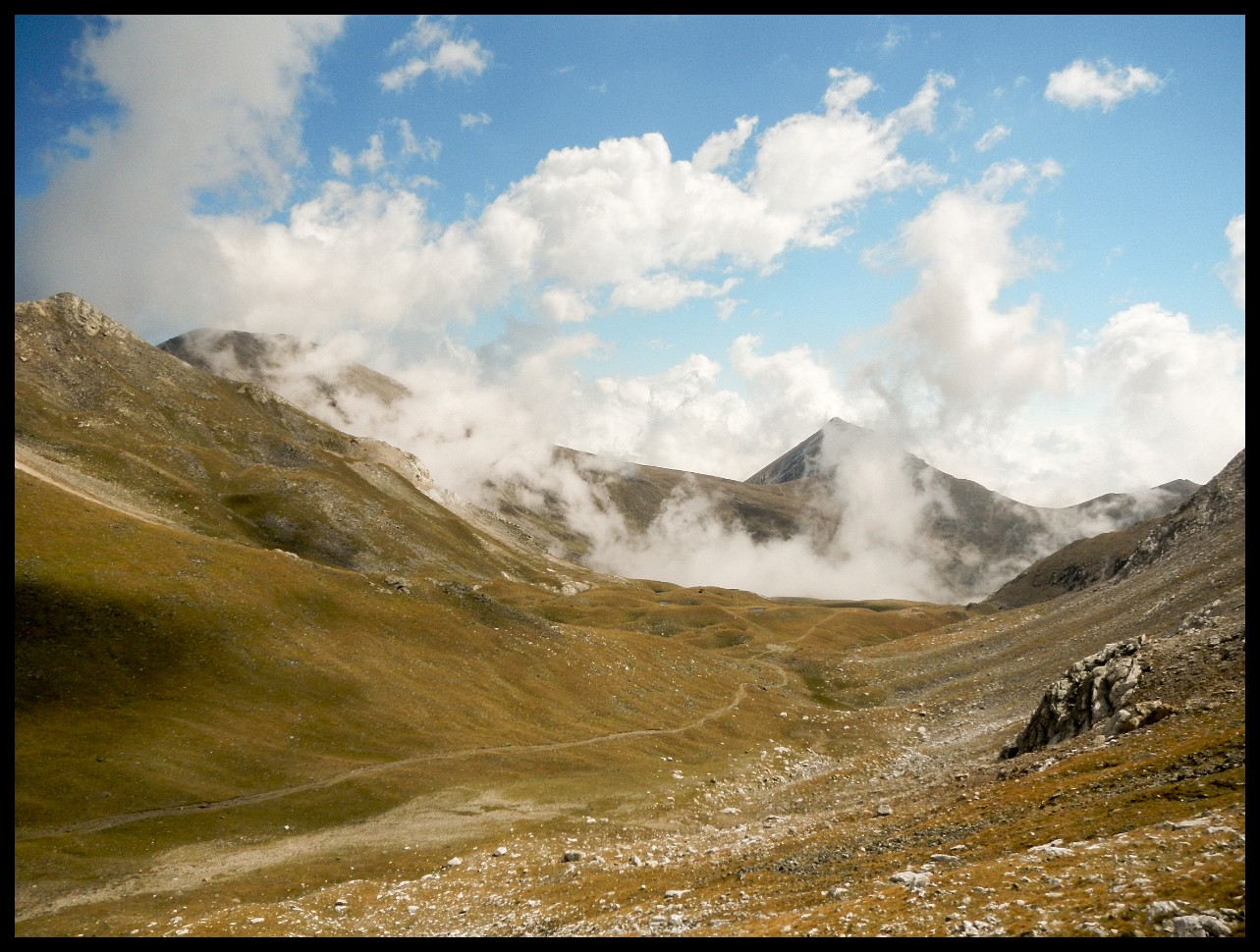
Next day's climb ahead.
A ridge walk without much of a trail.
With an ugly climb down.
Came down somewhere centre of picture and up again.
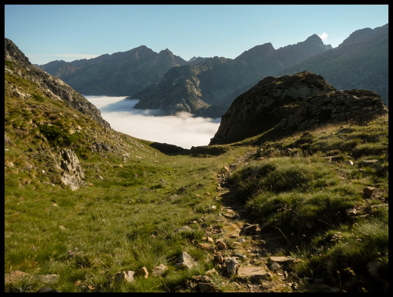
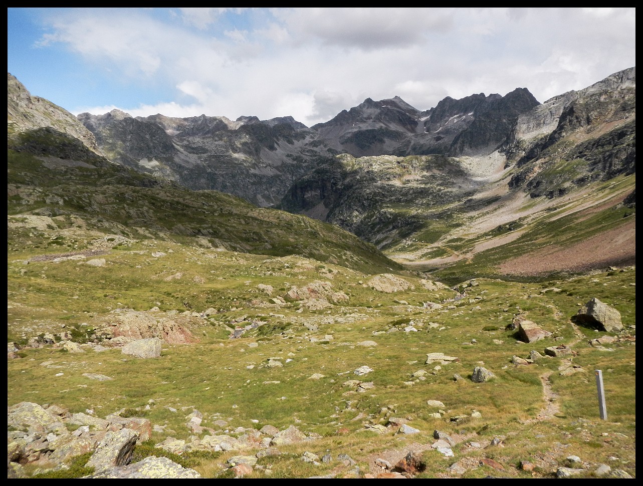
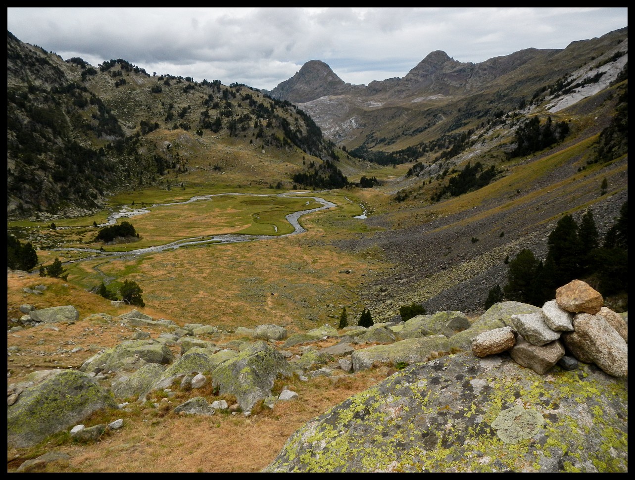
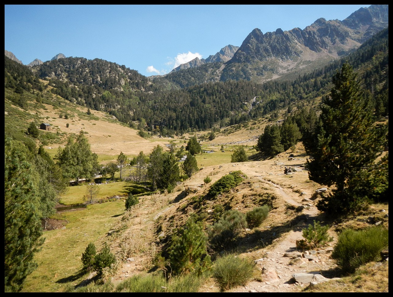
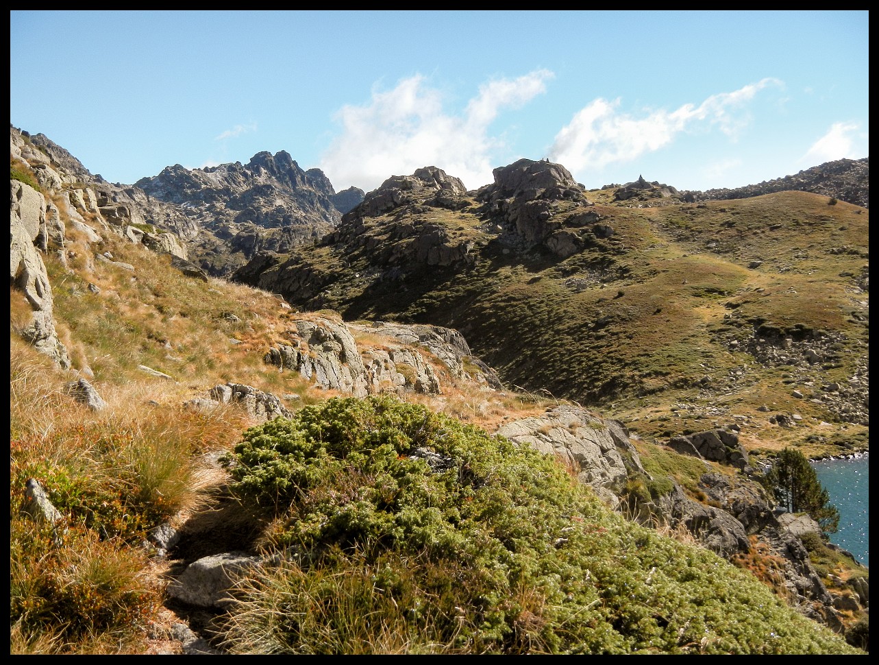
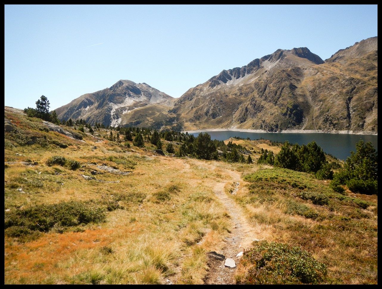
Lac de Rius at around 2300 m. The HRP is once again coinciding with the GR11. One pretty area this is.
(Old) Refugi de Colomers. Dozens of people were hauled up in cabs.
Tredos, France.
Lower left corner: a hiker making her way down.
Just before reaching the lake Estanys de Dalt de Baciver at around 2300 m. Of course, again with a traverse for the next day.
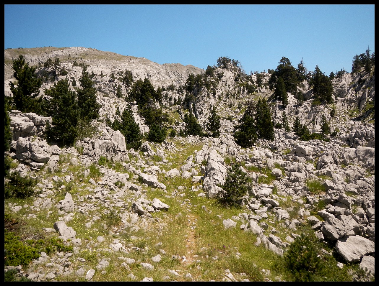
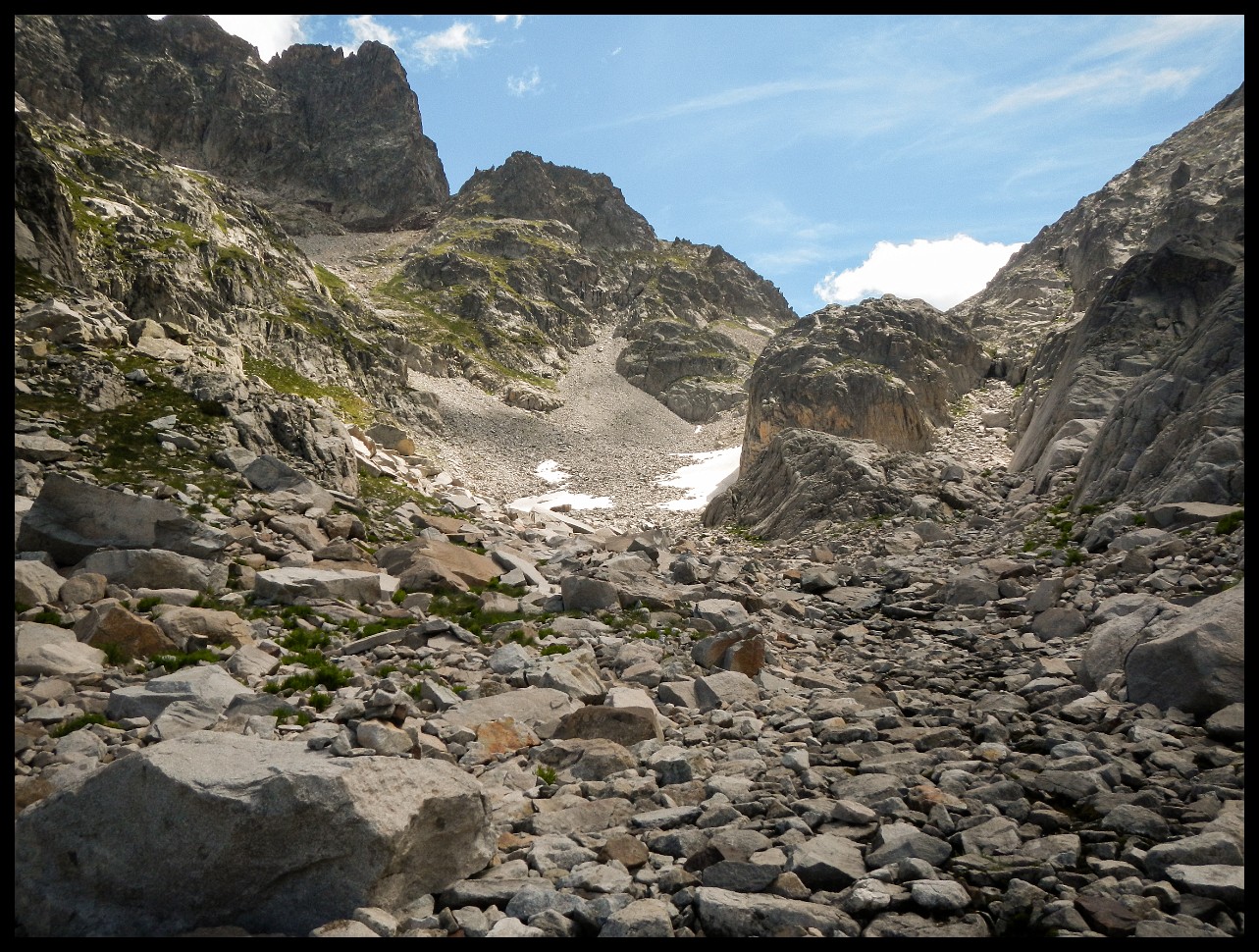
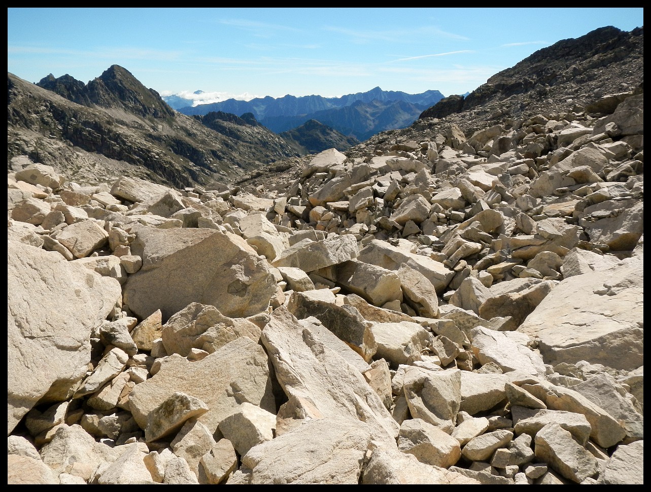
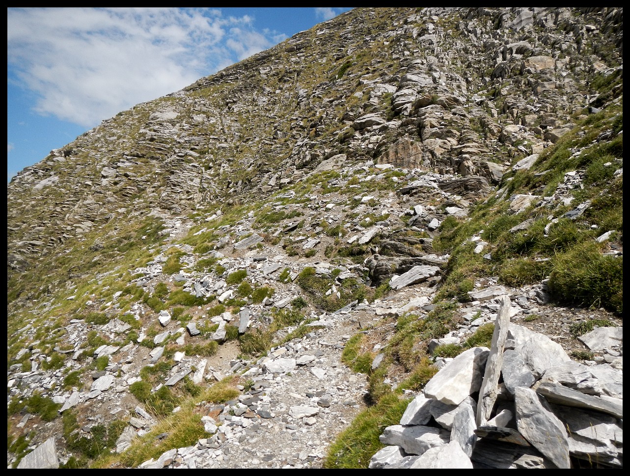
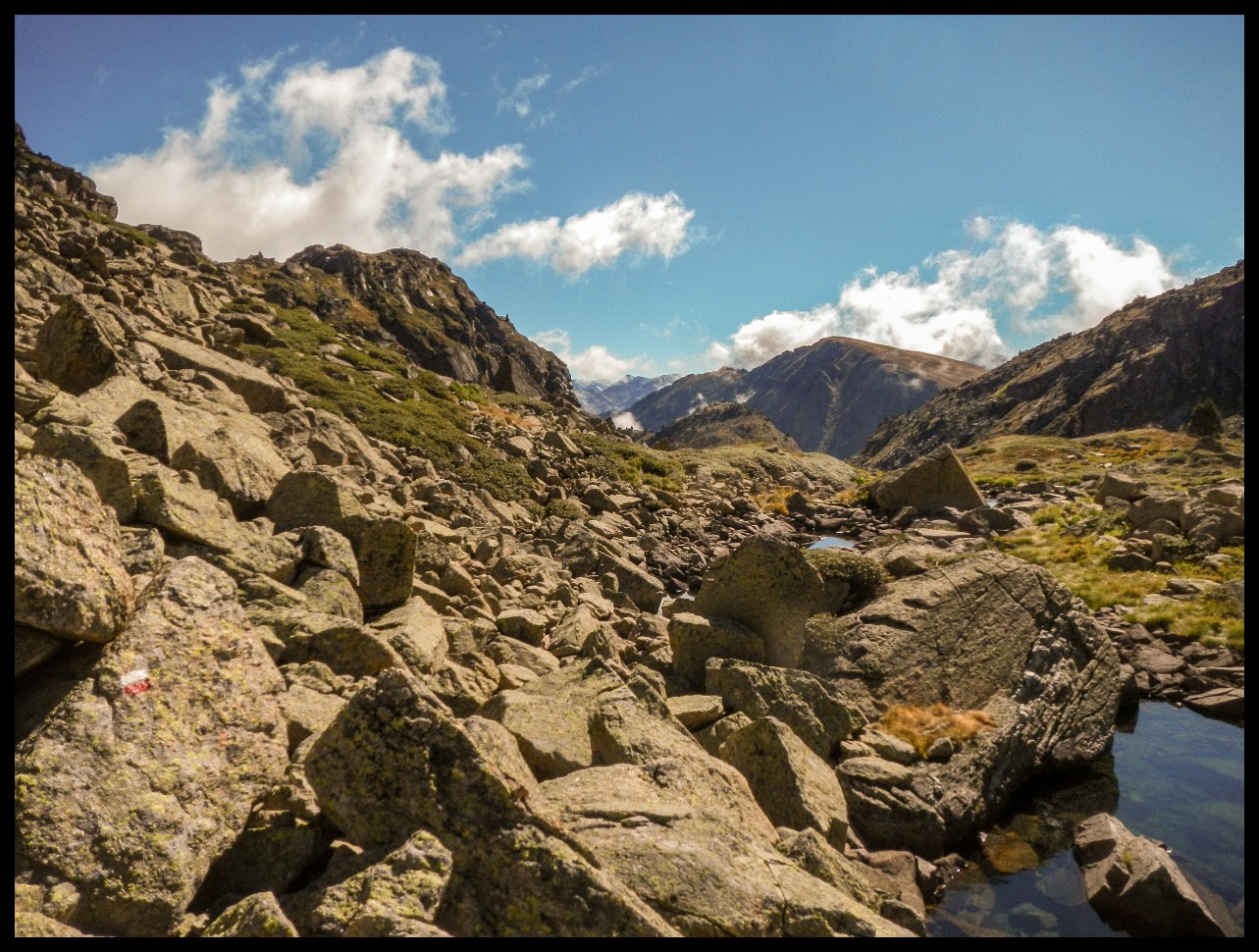
Lost the trail and had to cross this long stony mess.
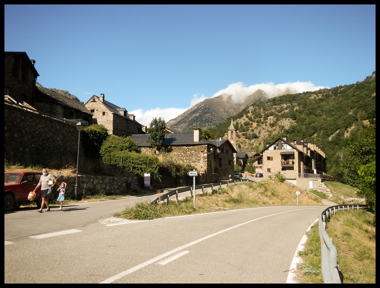
Alos d'Isil. No shop, no nothing.
LouPhi from Belgium making his way up Col Curios (2422 m).
And down the other side.
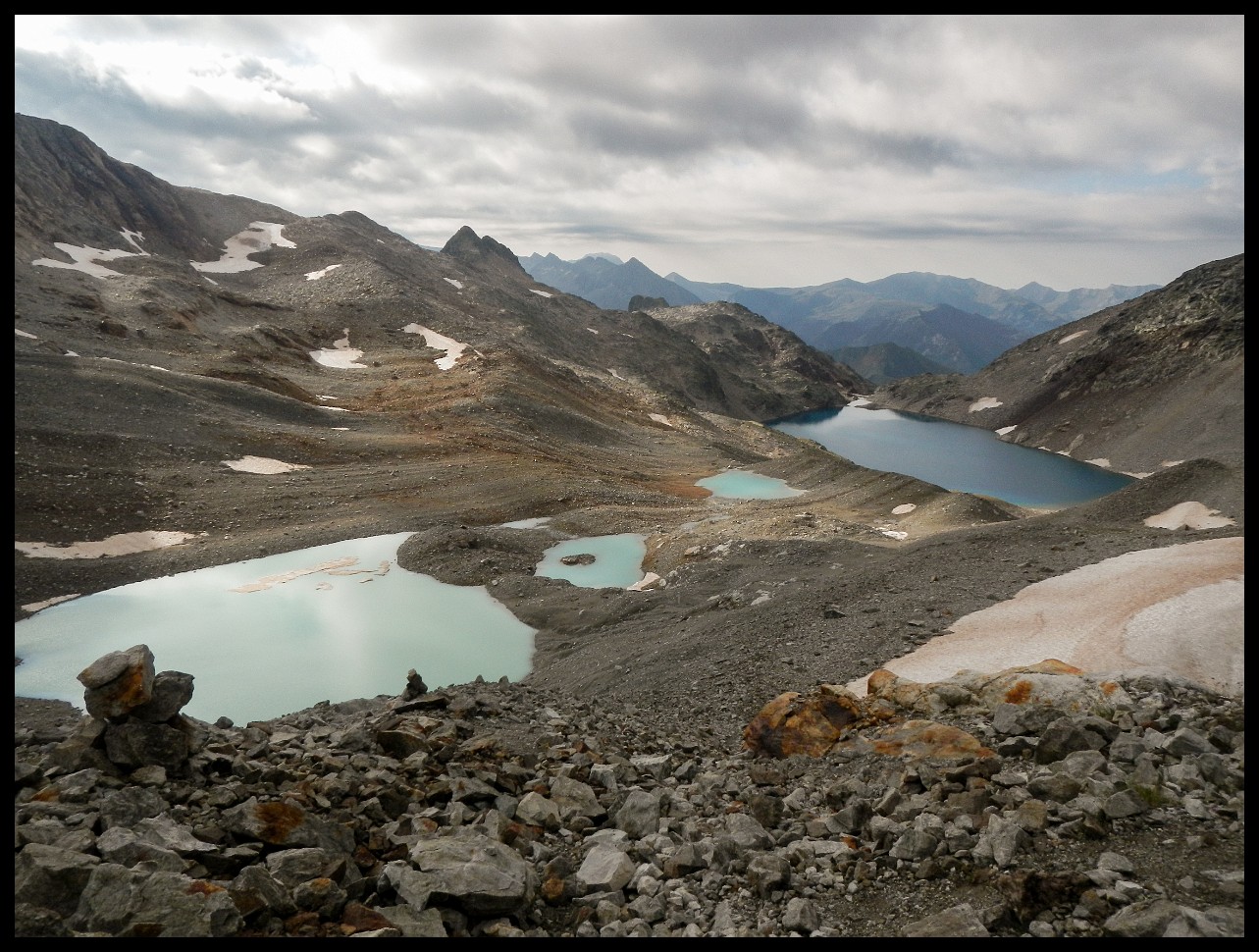
Estany Major de la Gallina.
Looking down onto the three Gallina lakes: Dalt, Mitja, Inferior.
One nasty short and inevitable climb on the left to get down and across the outlet of Inferior de la Gallina. Just below Refugi Mont-roig.
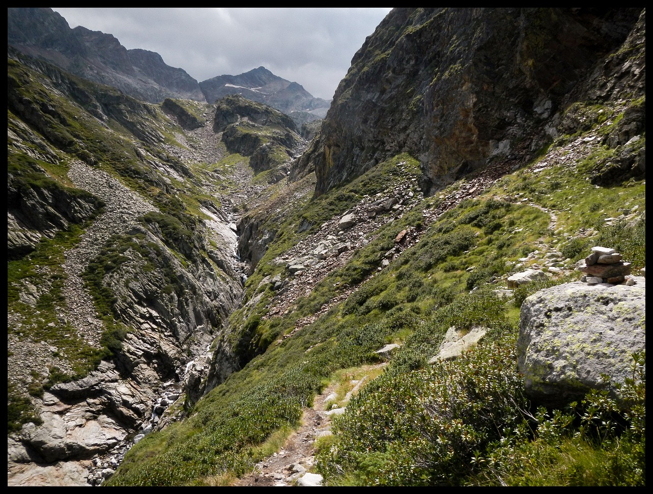
The trail is a faint line on the left side of the creek in the distance.
Noarre, Spain. Turn off to Tavascan heading for resupply.
Pont de Tavascan - XIII century.
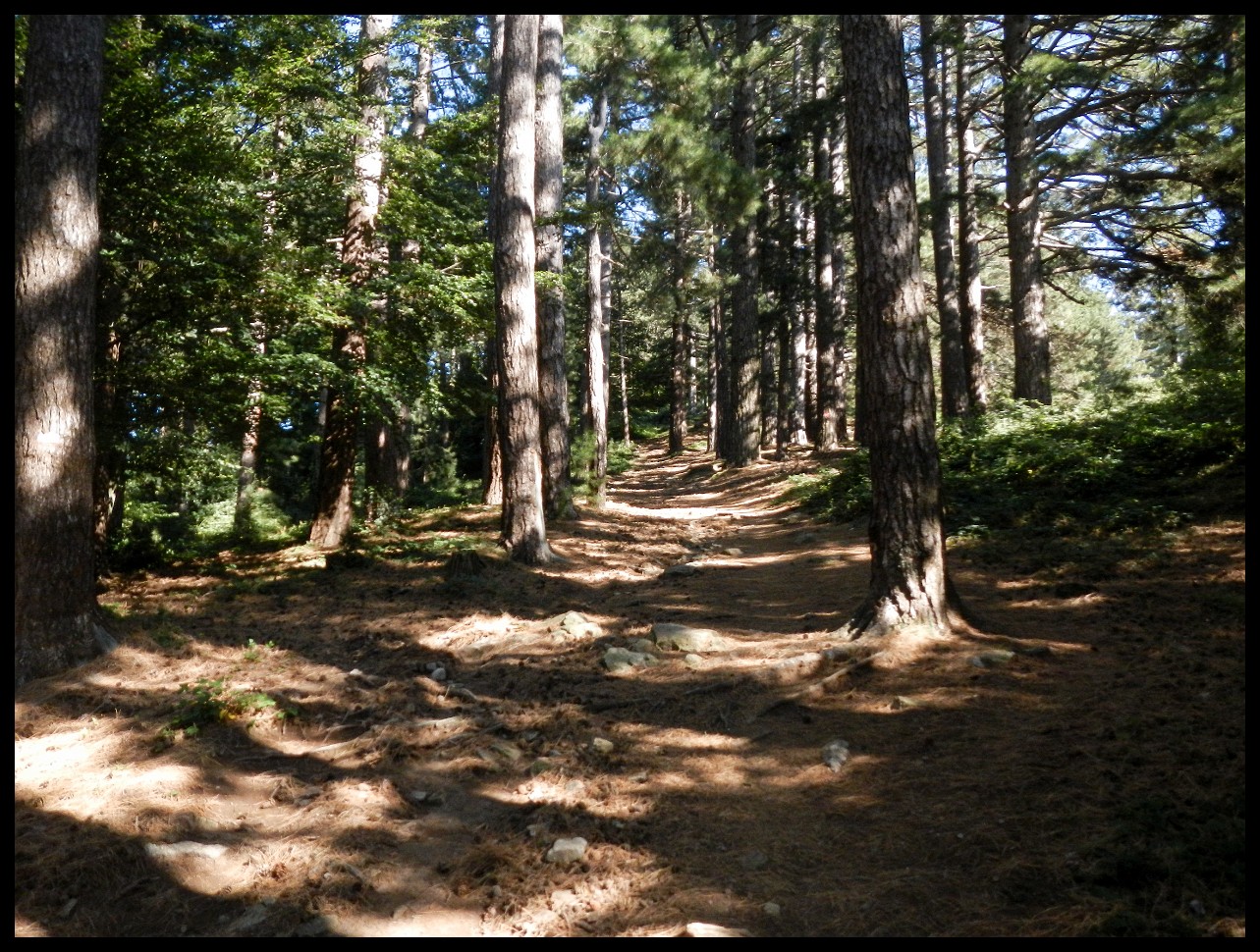
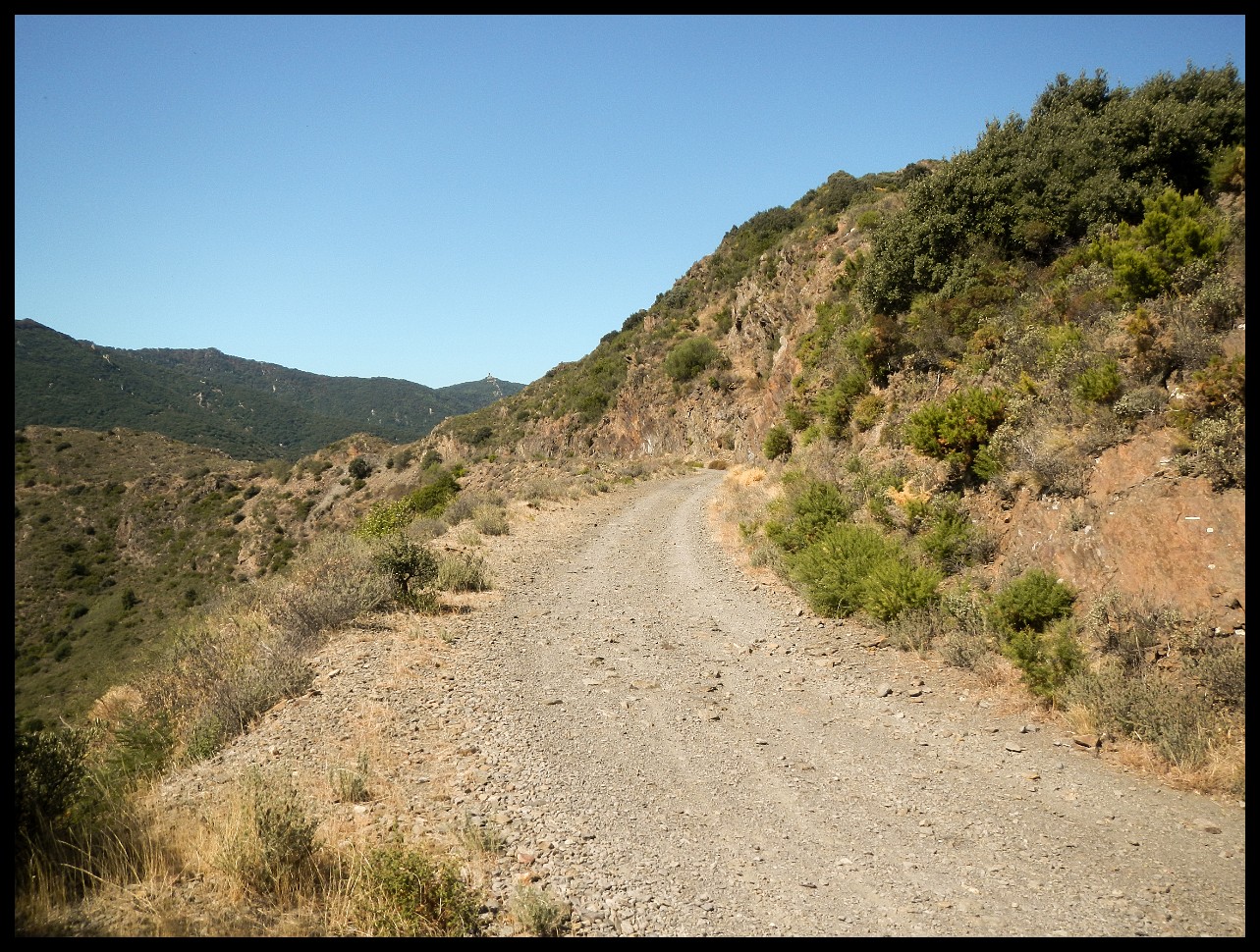
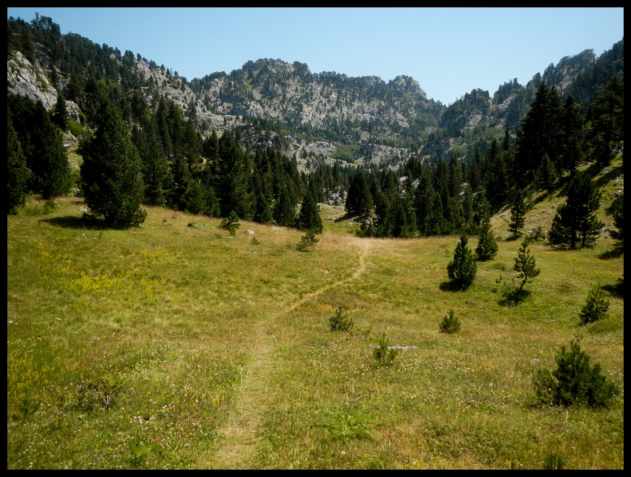
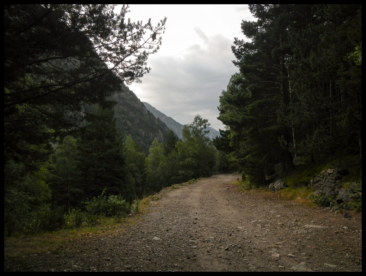
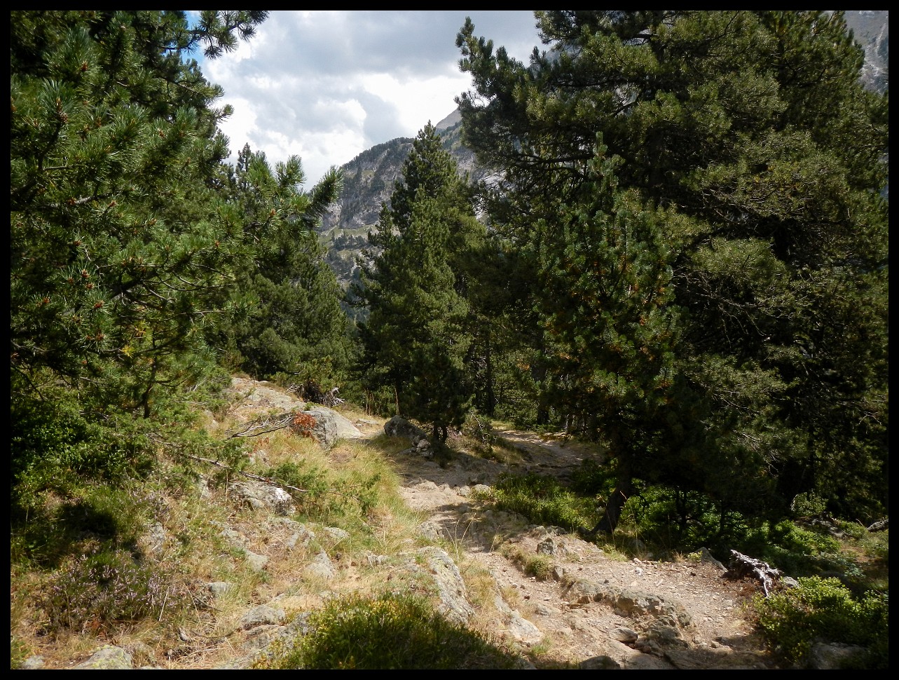
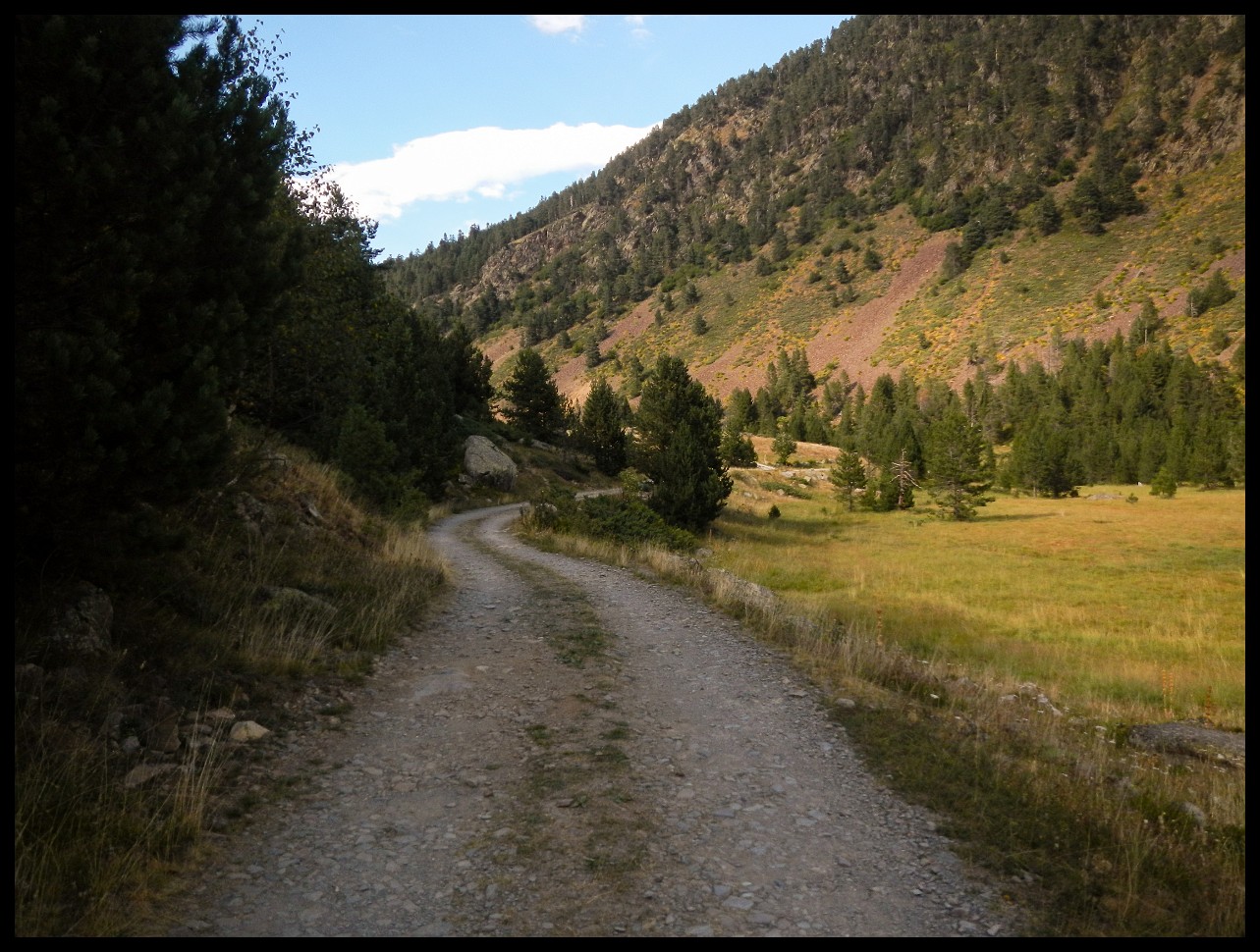
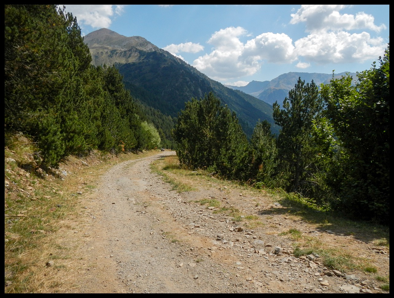
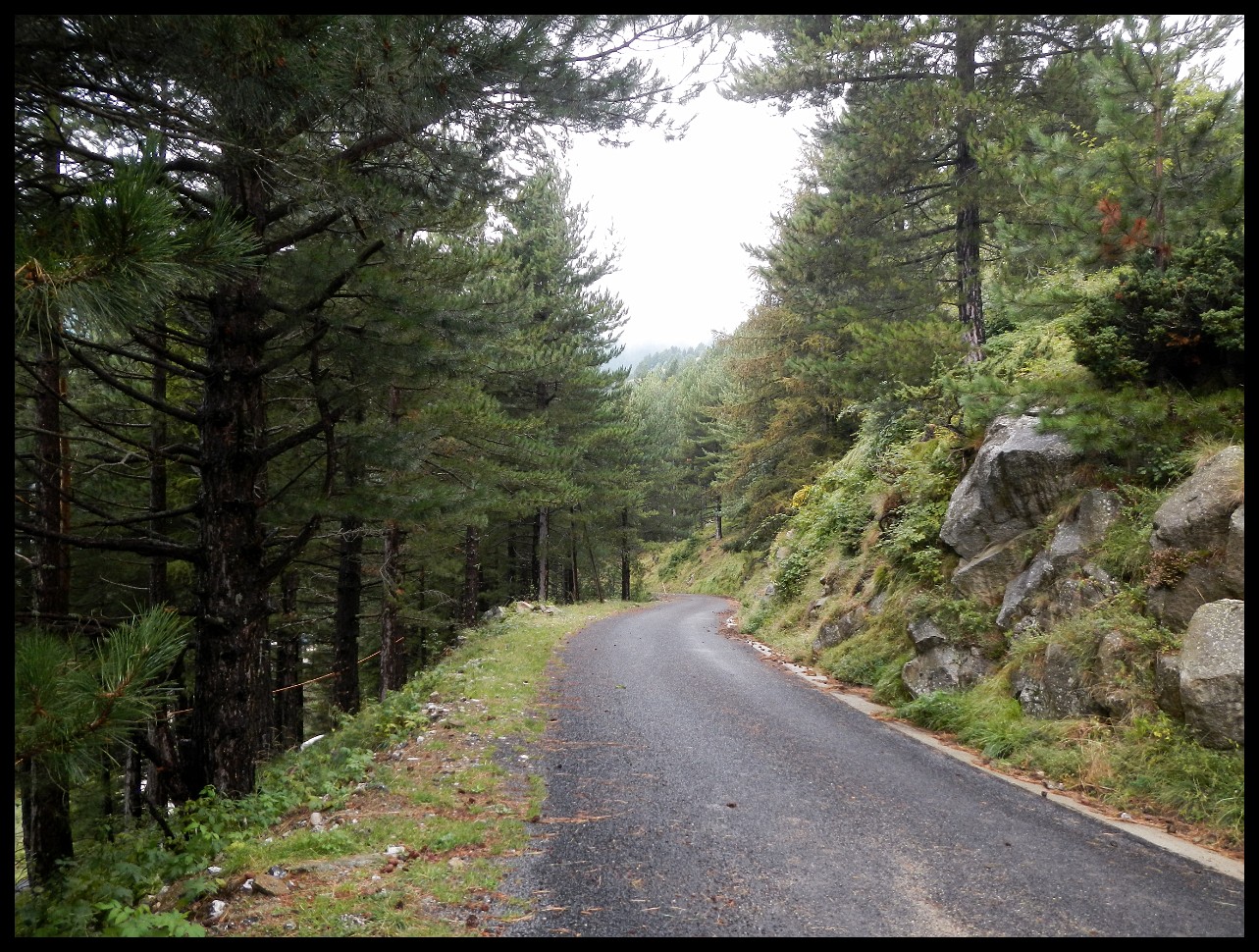
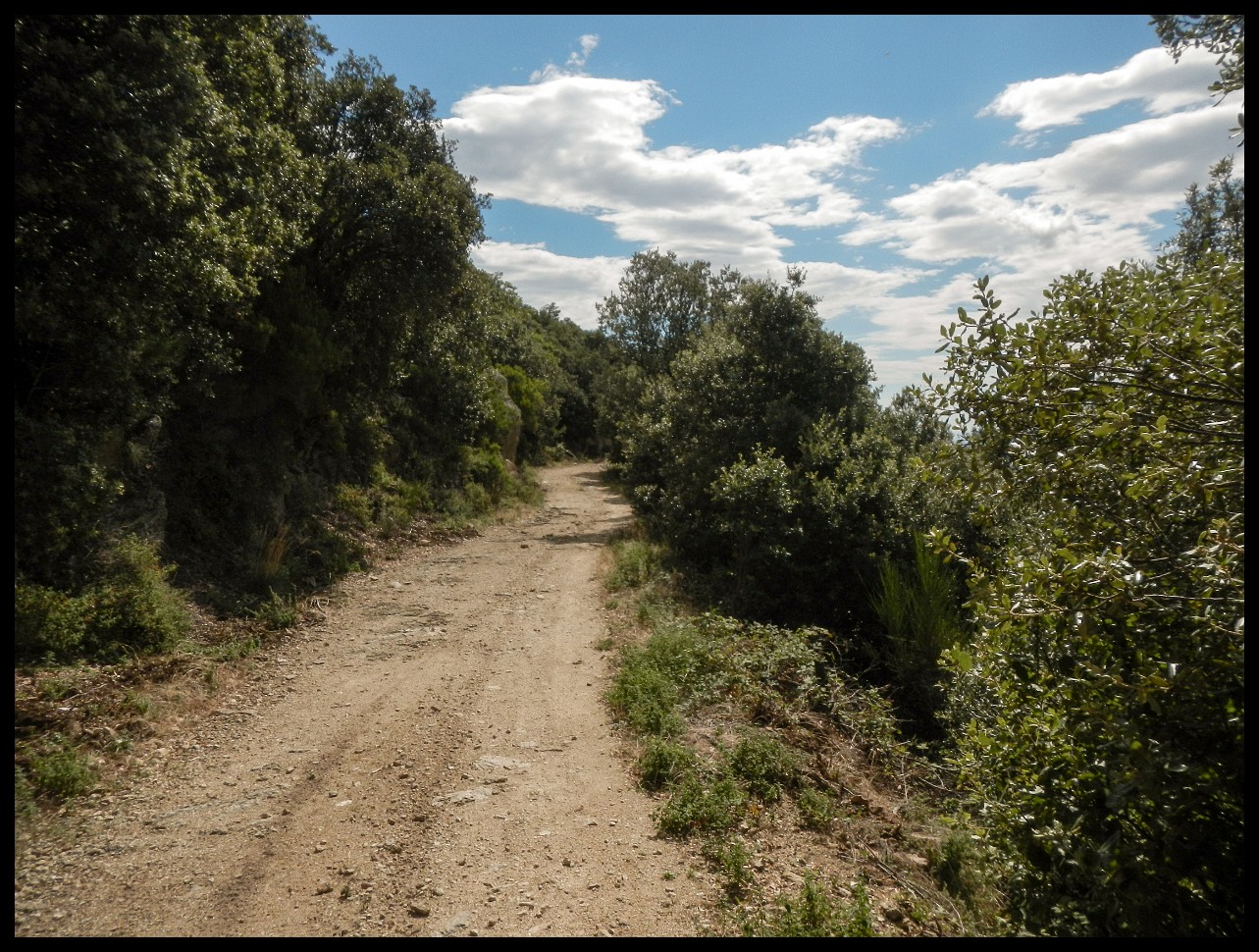
A bit of a grind such dirt roads.
Down from Port de Rat, France/Andorra.
Down towards El Serrat.
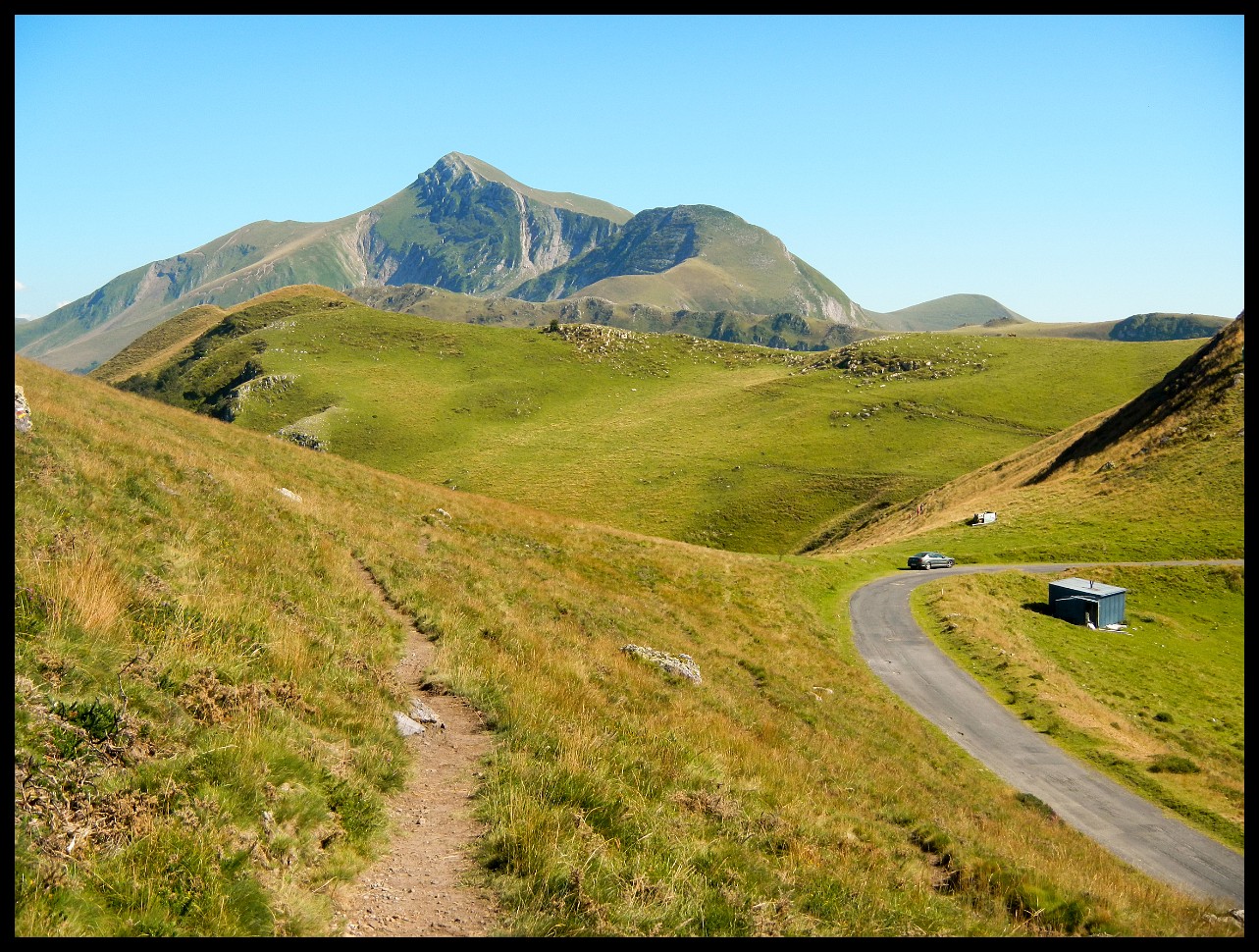
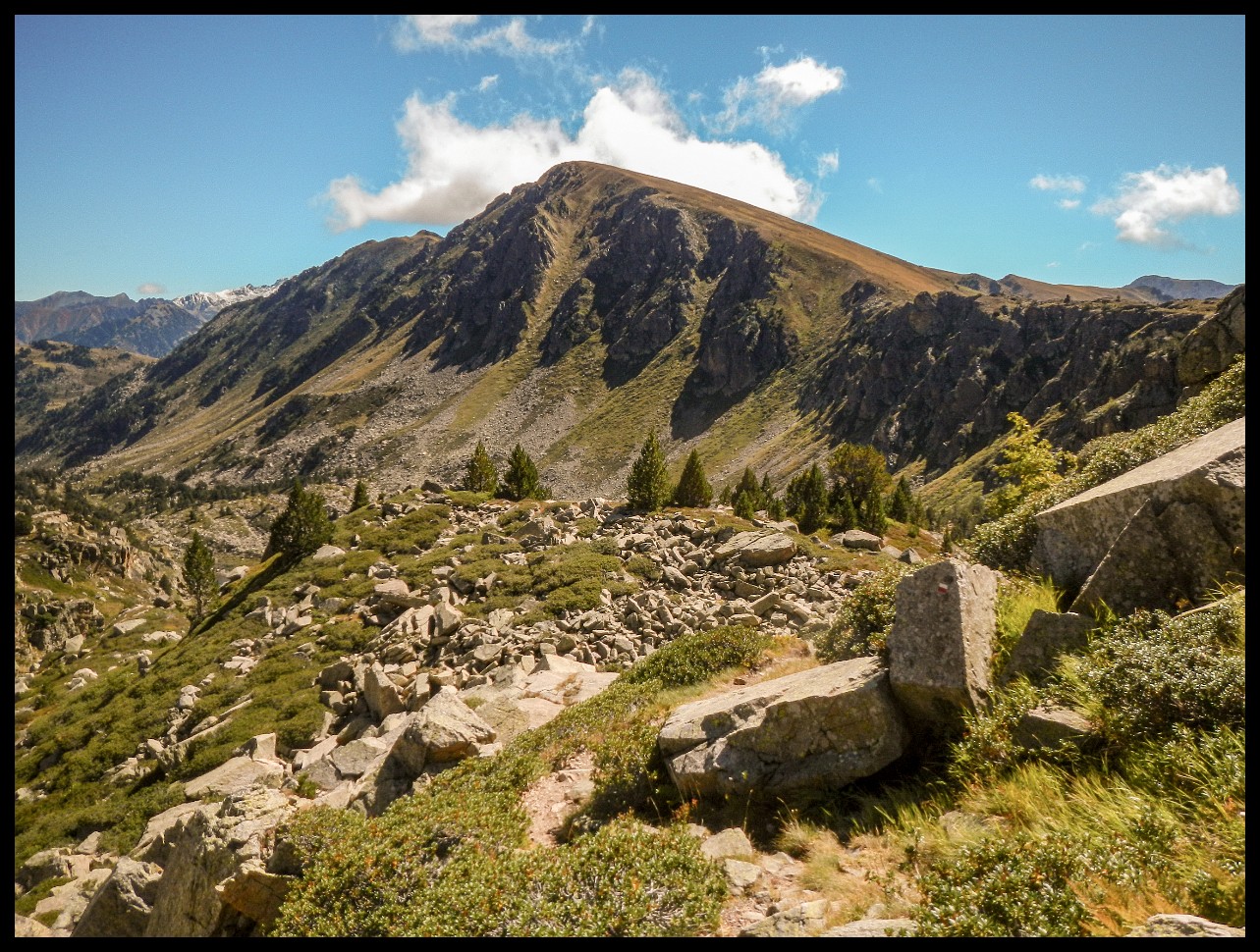
Col de l'Alba to the right 2545 m.
Looking back were I just came from.
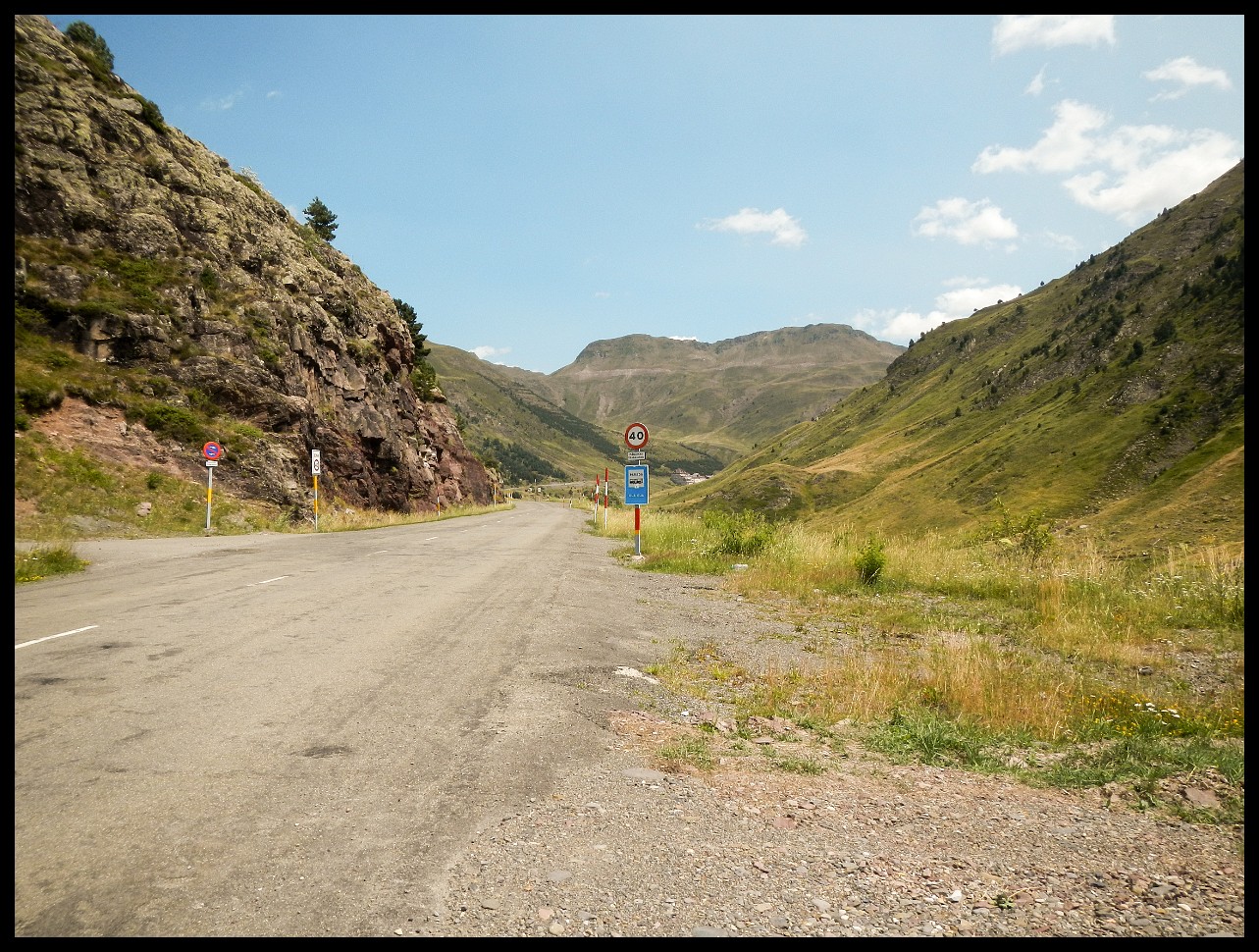
Down towards L'hospitalet-pres-l'Andorre. One forlorn place. Unsuitbale for resupply, everything was closed.
Got a ride (sic) to Ax-les-Thermes.
And walked back to the HRP proper via GR 107 (Bons Homes).
And onwards using the GR 10 - sec 2.
Before meeting up with the HRP proper at Refuge de Besines.
Up Col de la Coume d'Aniel (2487 m).
Down to Lac de Lanoux.
Onwards to Pic Carlit (to the left)
The scramble up Pic Carlit.
And down the other side.
Where the HRP coincides again with the GR 10.
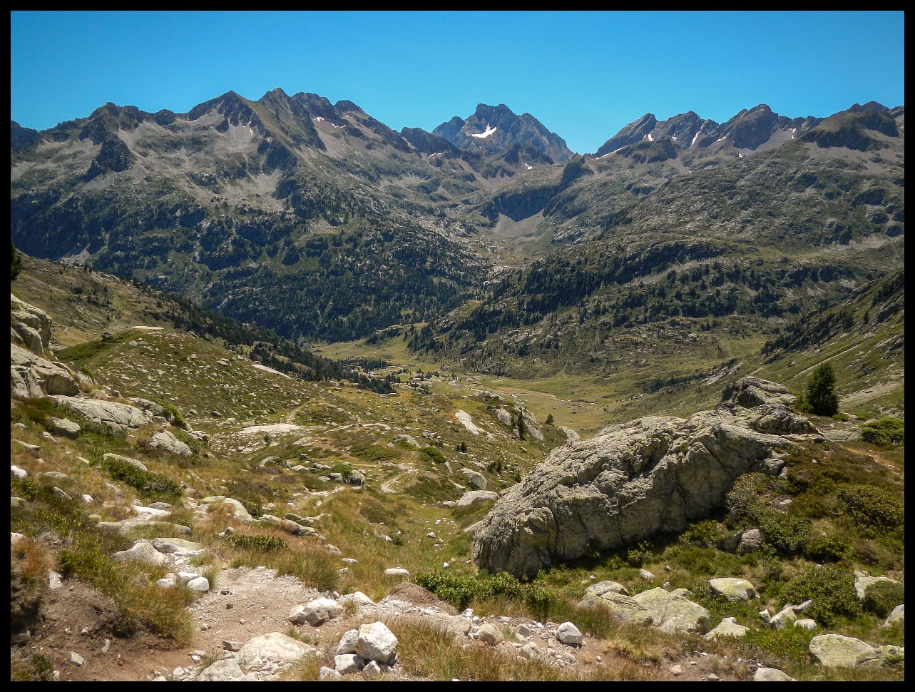
This is the same broad valley that you would have to cross on the GR 11 (via Puigcerda) a little further south.
Looking back at the valley with the rivulet Coma de Eina.
The high ridge walk above Nuria, Spain.
A long walk at around 2200 m through a cold stiff gale from the North.
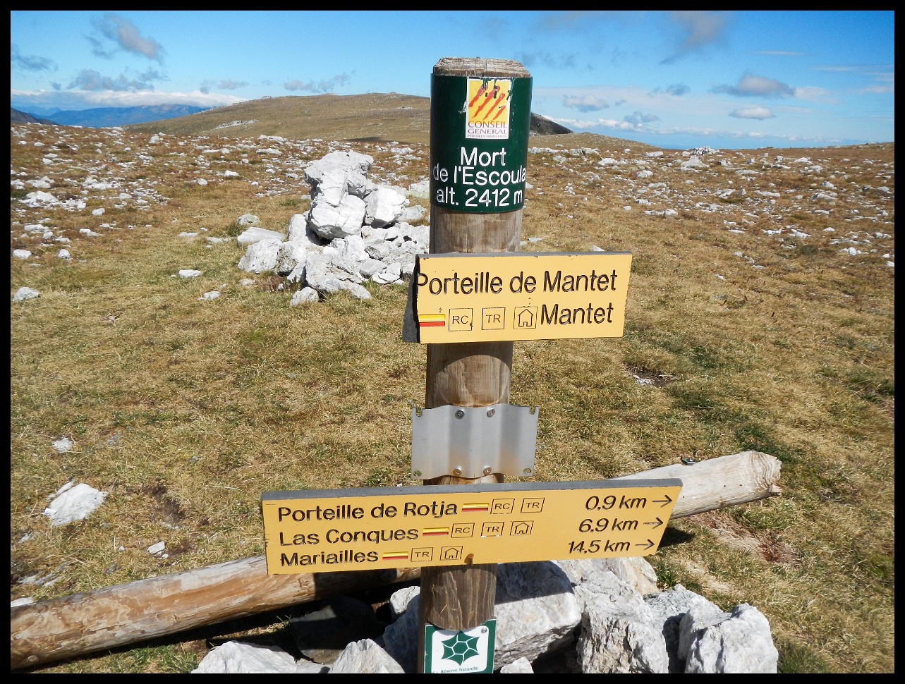
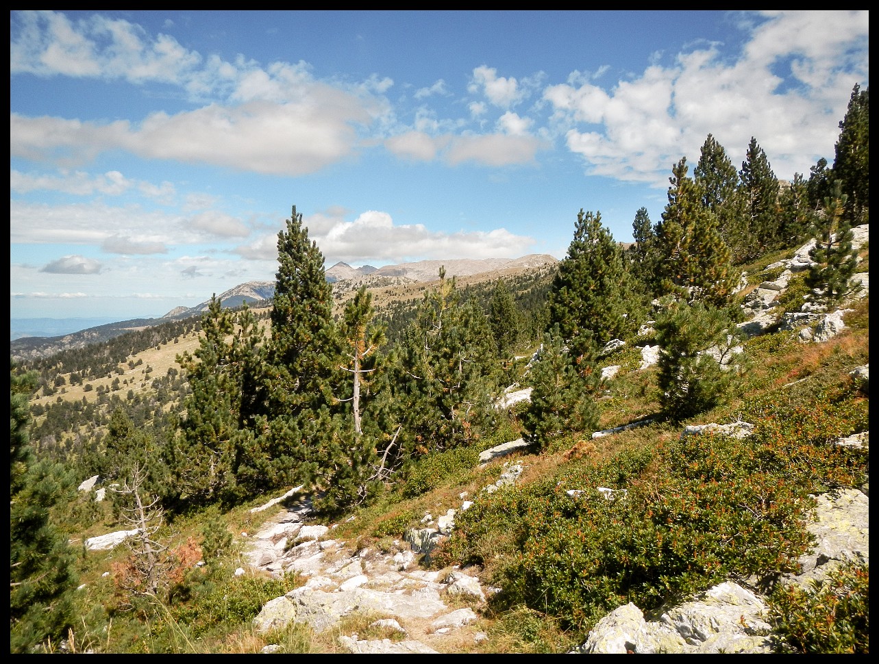
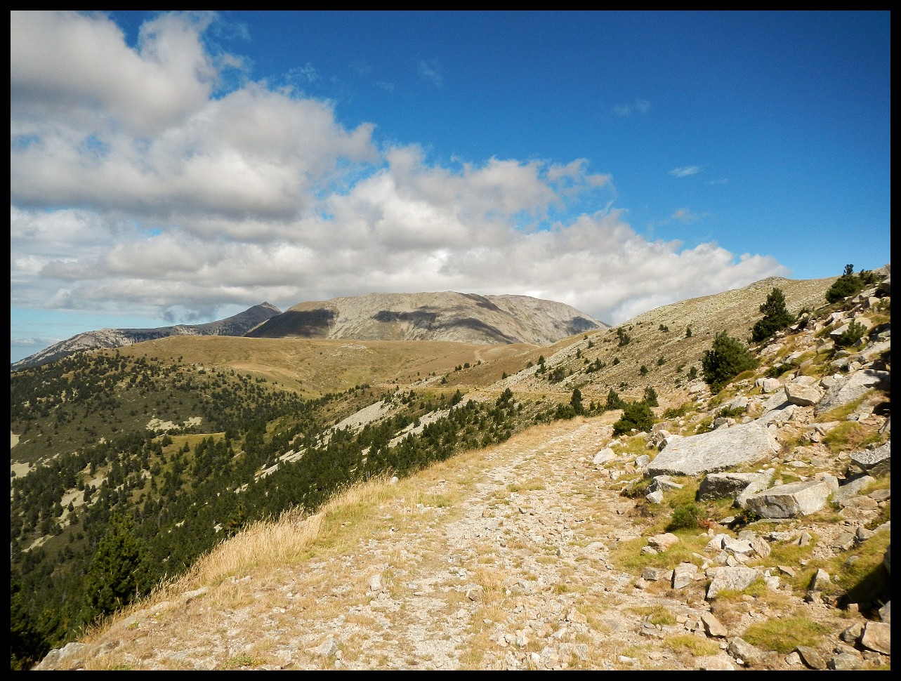
Pic du Canigou (2785 m) in the distance to the left.
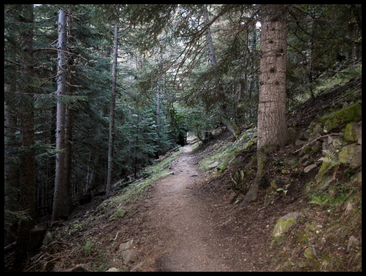
Down towards Refuge de Mariailles.
Bypassing Pic Canigou on the east. The Mediterranean in the far distance.
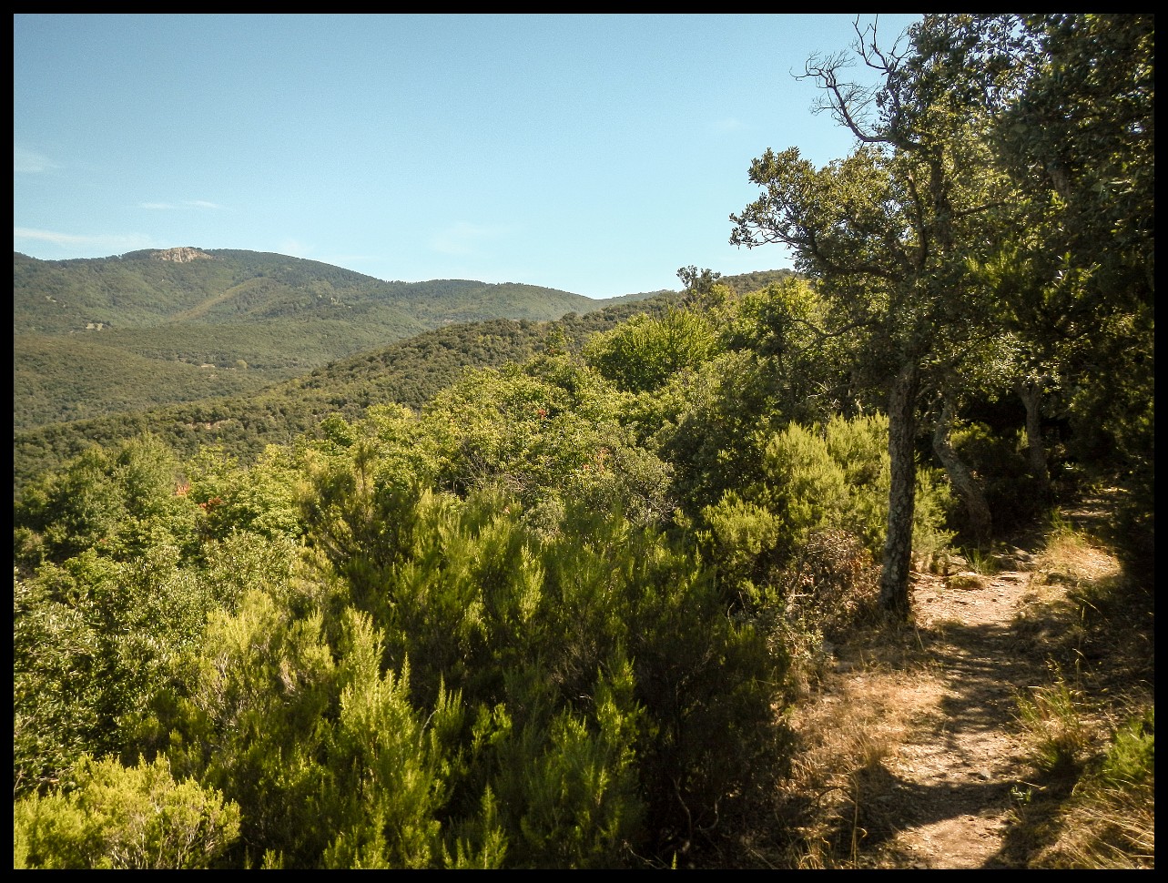
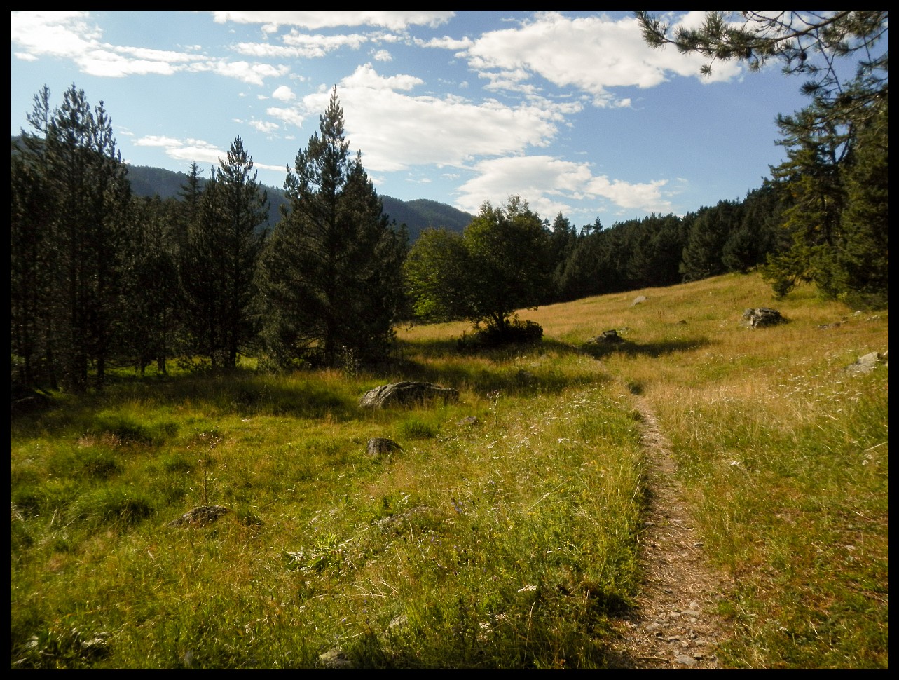
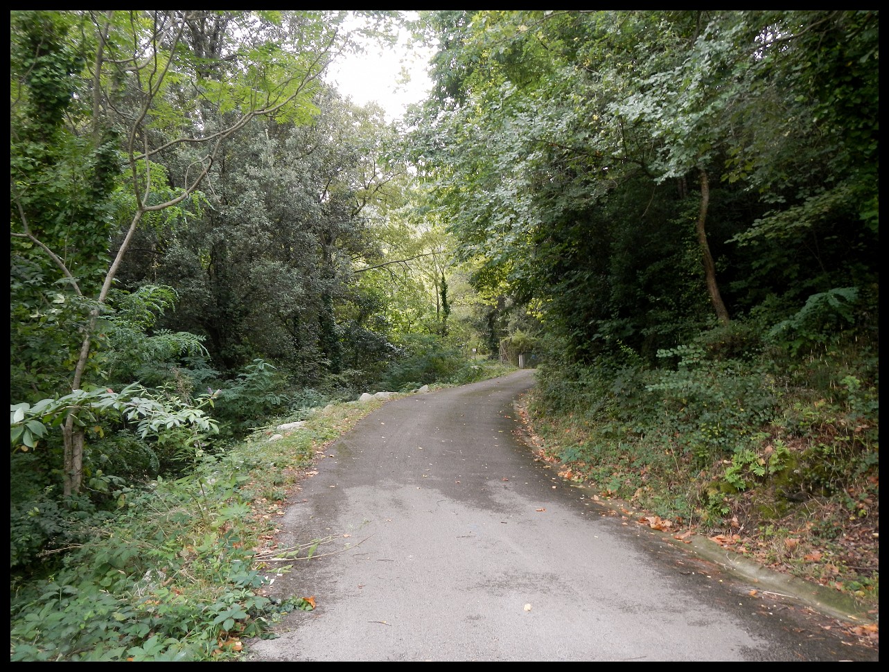
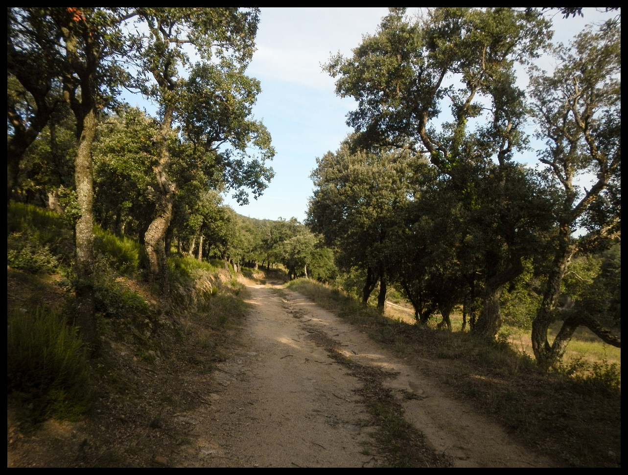
Before long, and the last gravel road will be tarmacked.
Choosing Amelie-les-Bains over Arles-sur-Tech. There are so many variants to go.
Amelie-les-Bains.
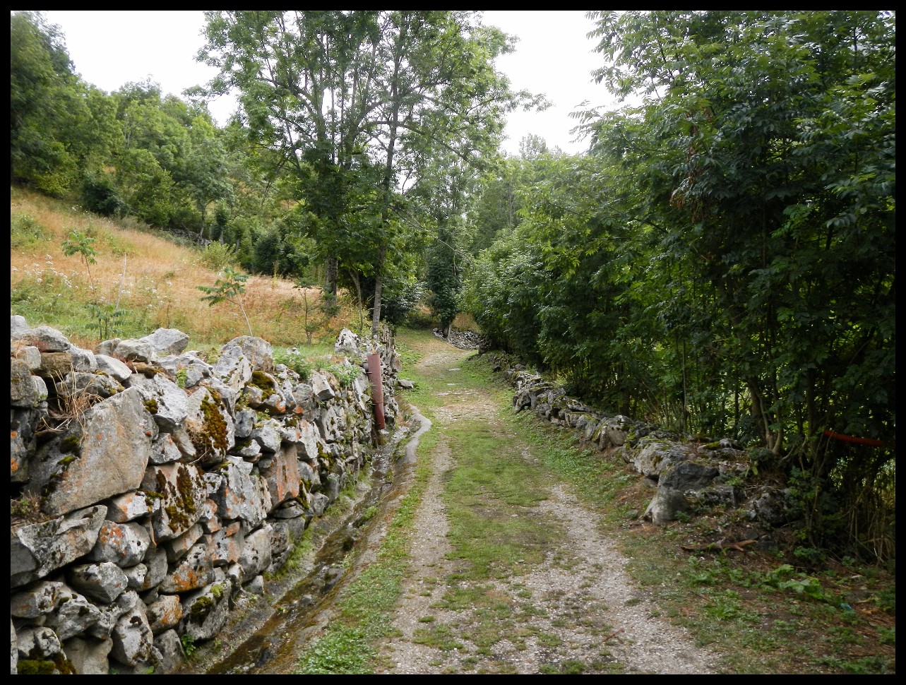
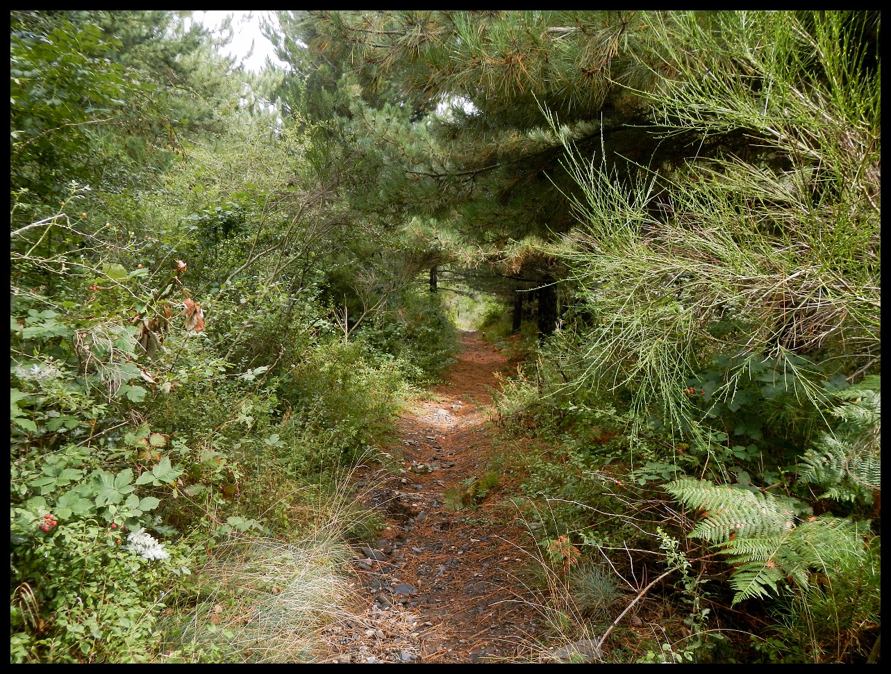
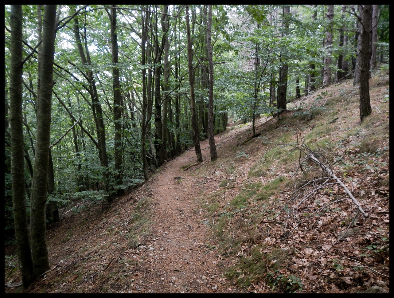
Back to the HRP/GR 10 proper along a secondary local trail.
El Perthus (Spain) where you have to cross the main highway AP-7. A cross border shopping town, an insane place. Hardly suitable for resupply.
Not far now.
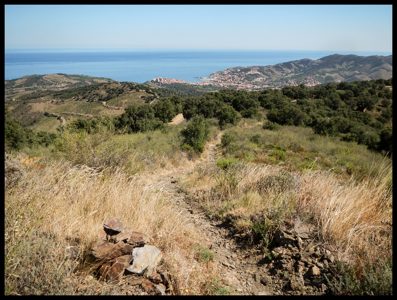
Banyuls-sur-Mer ahead.
End of terra firma, end of trail. September 14th 2020.
Generated by
jAlbum 12.7.2
,
Matrix 30


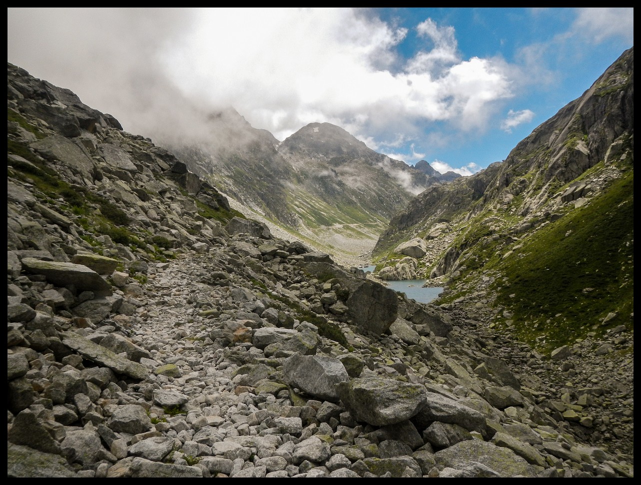


. Before scrambling up Col des Gourgs Blancs at 2876 m (right of centre).")


 Refugi de Colomers. Dozens of people were hauled up in cabs.")


.")


 to Ax-les-Thermes.")
.")


.")

")


 a little further south.")


 in the distance to the left.")


 where you have to cross the main highway AP-7. A cross border shopping town, an insane place. Hardly suitable for resupply.")