Munich Airport — a loooong way from where I’m headed. Once again, moving stuff: food, gear that needed fixing, and whatnot.
Yellowknife to Colville Lake. A recently established route.
A leaking trailer that cost a whopping $300 per night.
But it provided shelter. Remarkably, it also poured heavily around this same date 14 years ago.
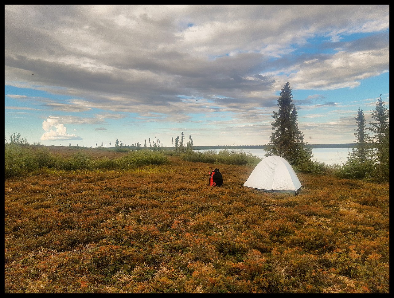
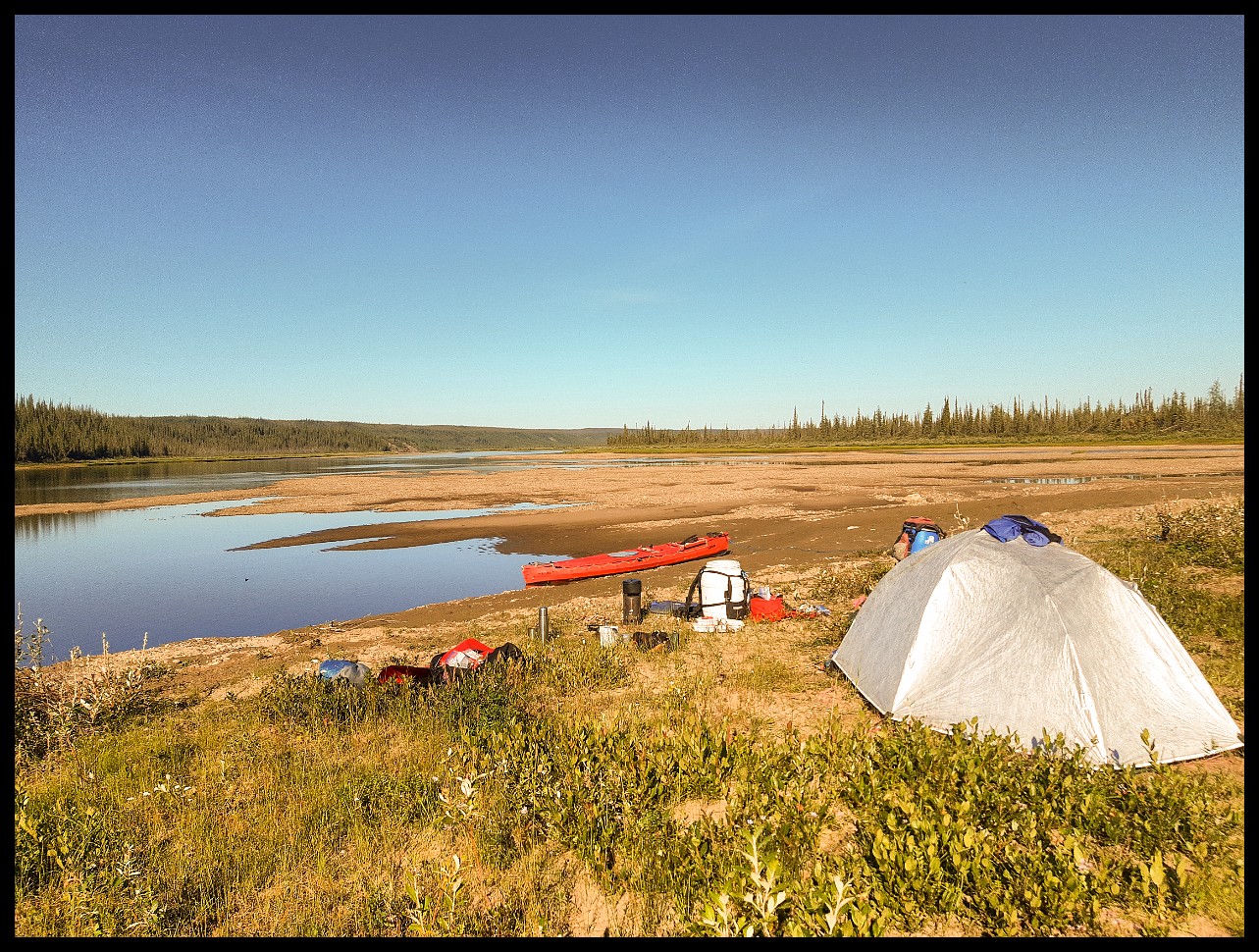
First proper camp. That pricing had me packing up and leaving ASAP. And, got windbound right away.
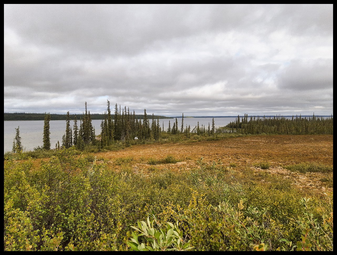
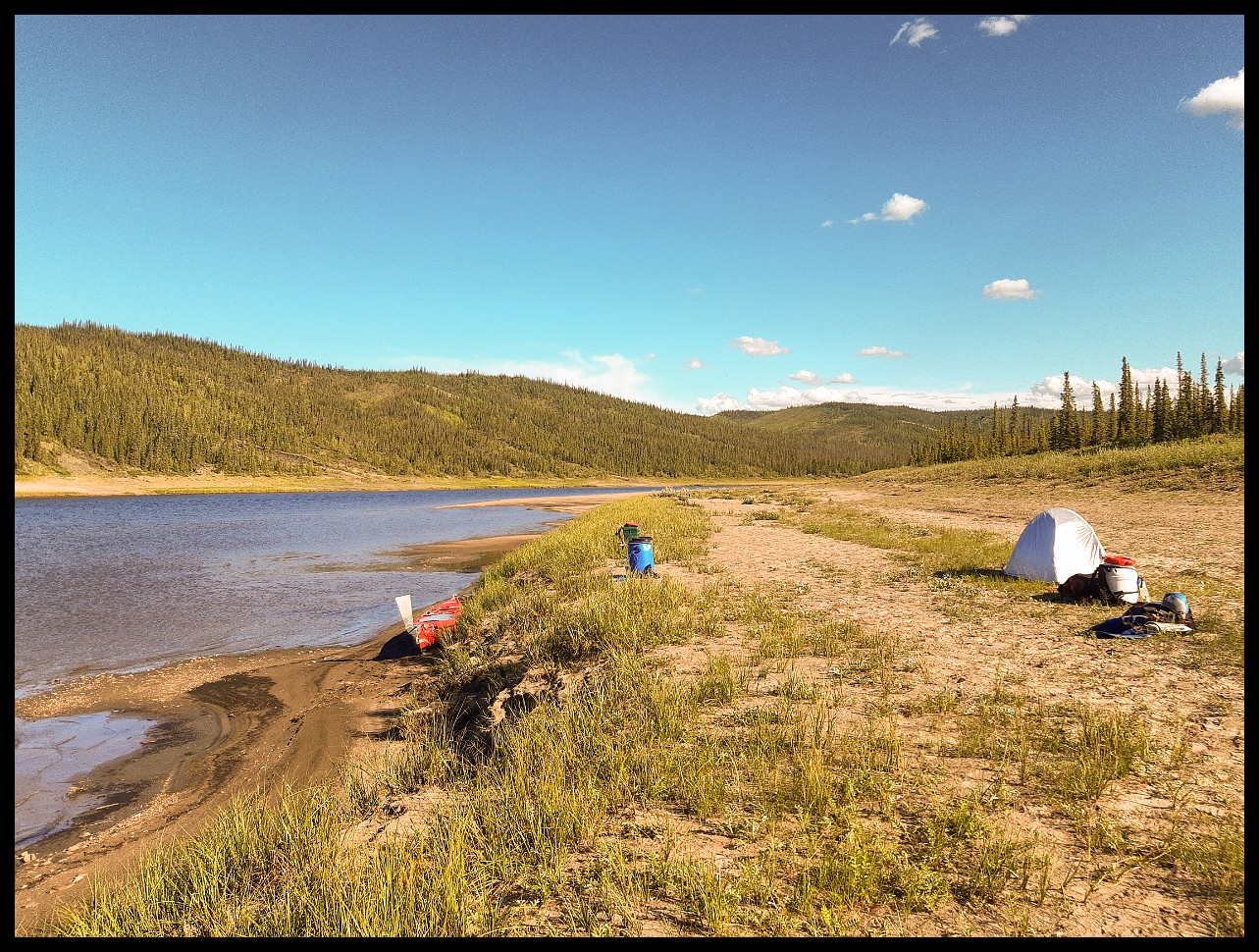
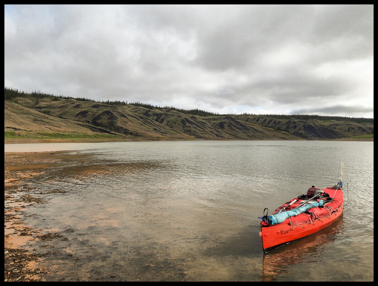
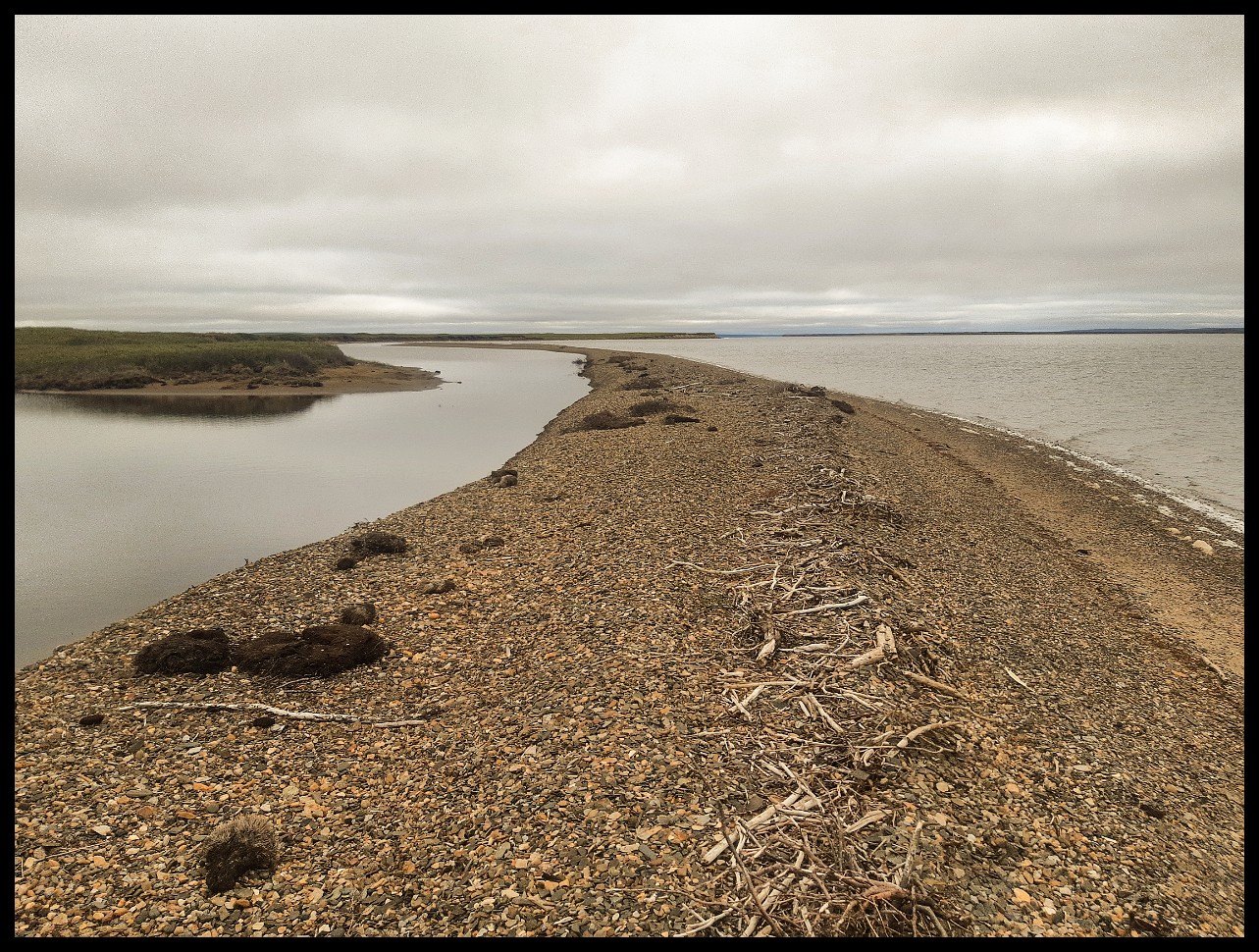
Further along Colville Lake.
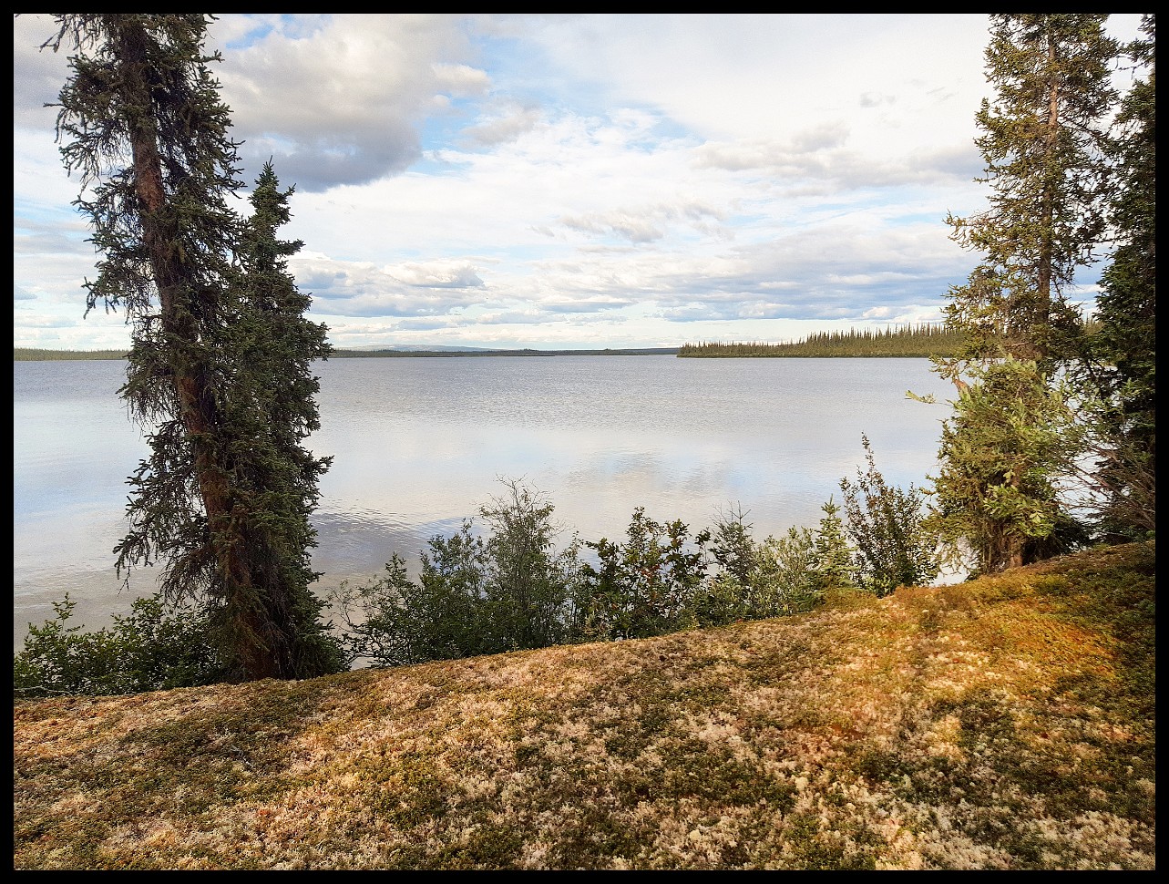
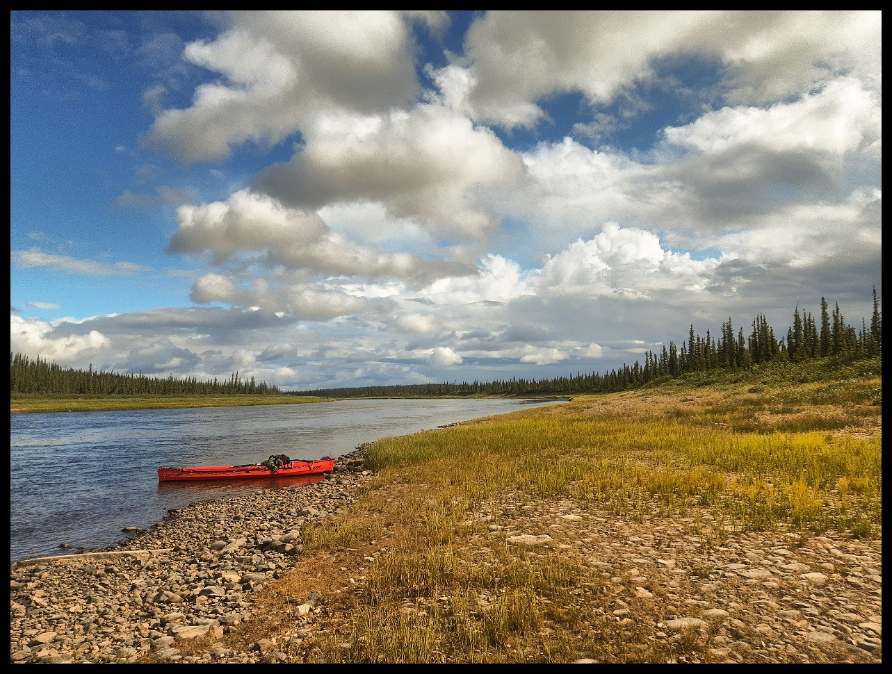
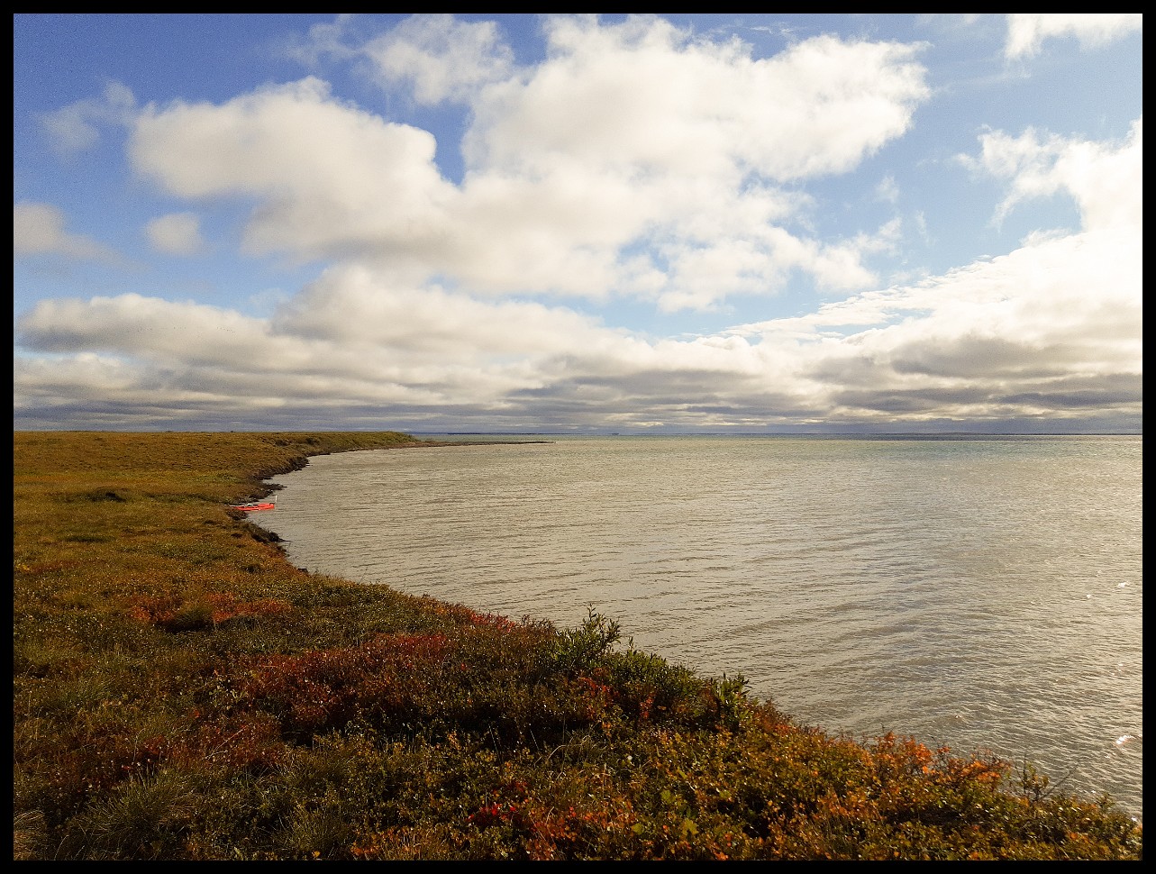
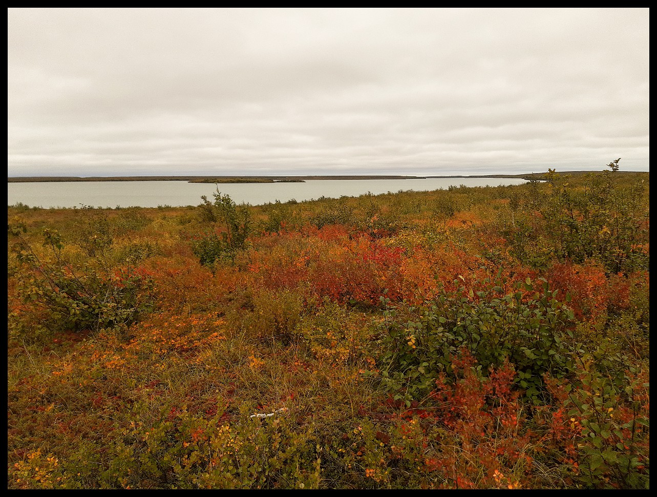
Colville Lake — quite a sizable body of water.
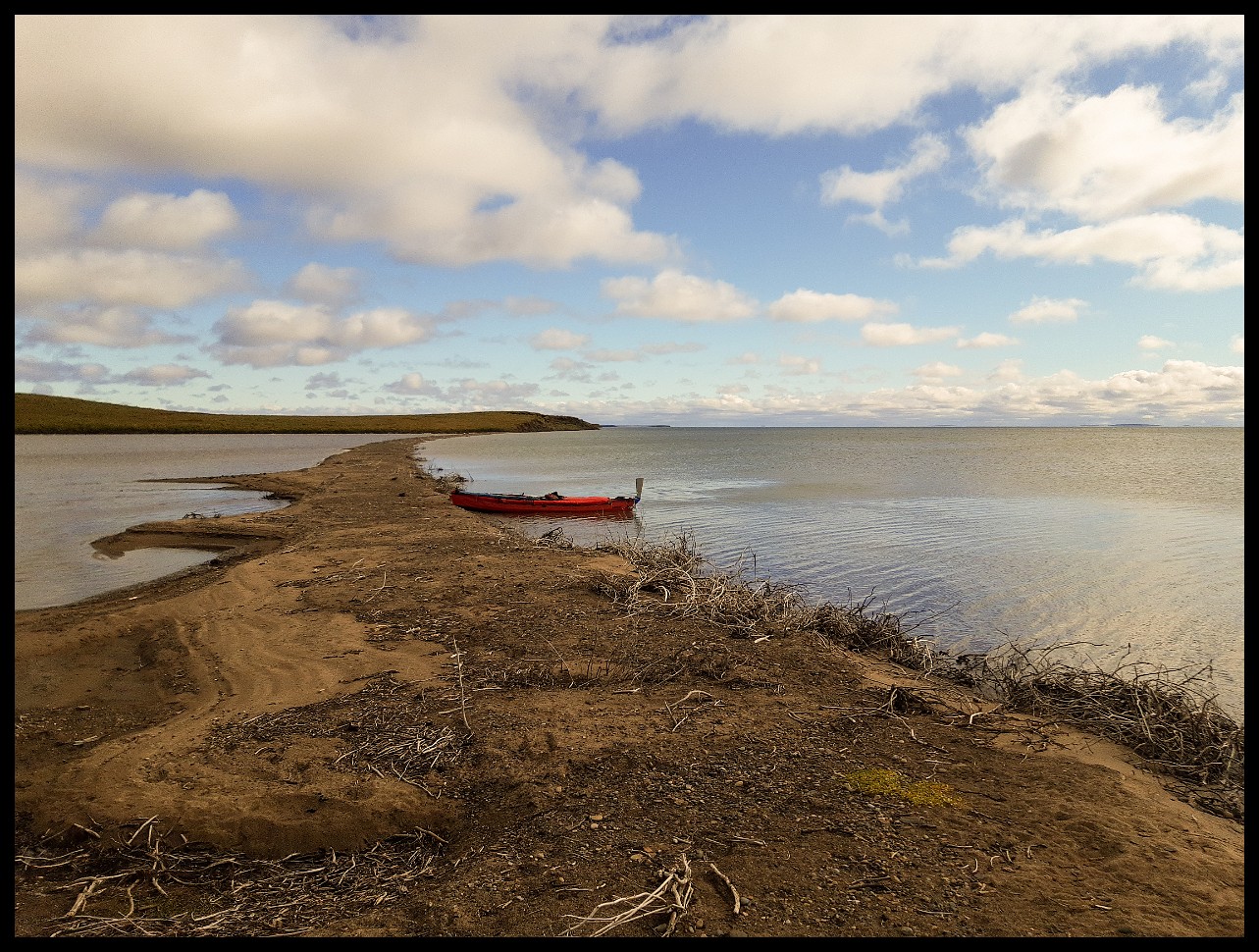
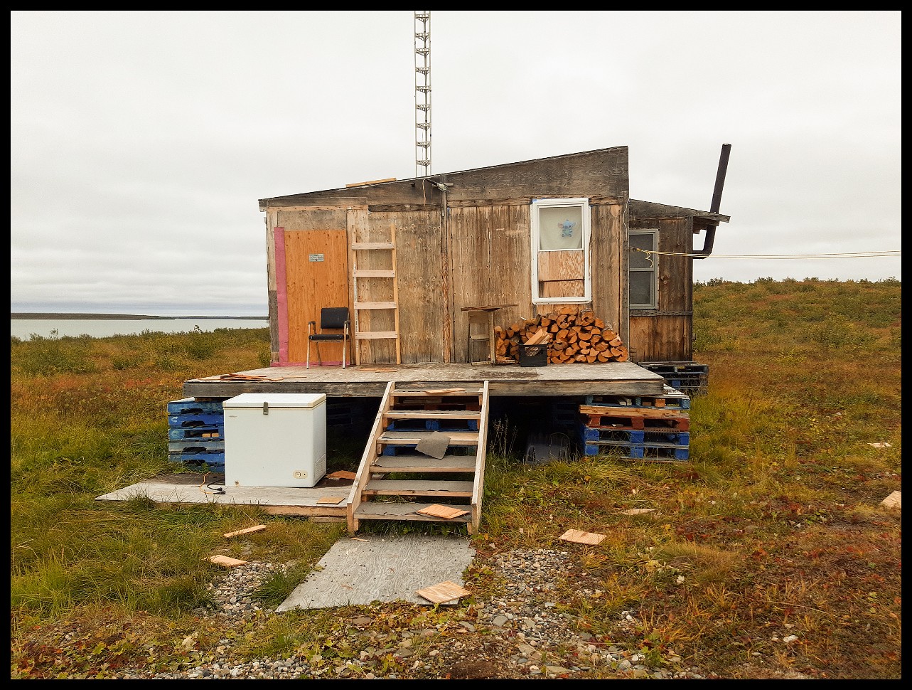
At what was once the Colville Lake Lodge outpost. After Father Brown's death, it's slowly rotting away, along with structures in Colville Lake itself.
A melancholy scene — Father Brown would be heartbroken seeing this neglect.
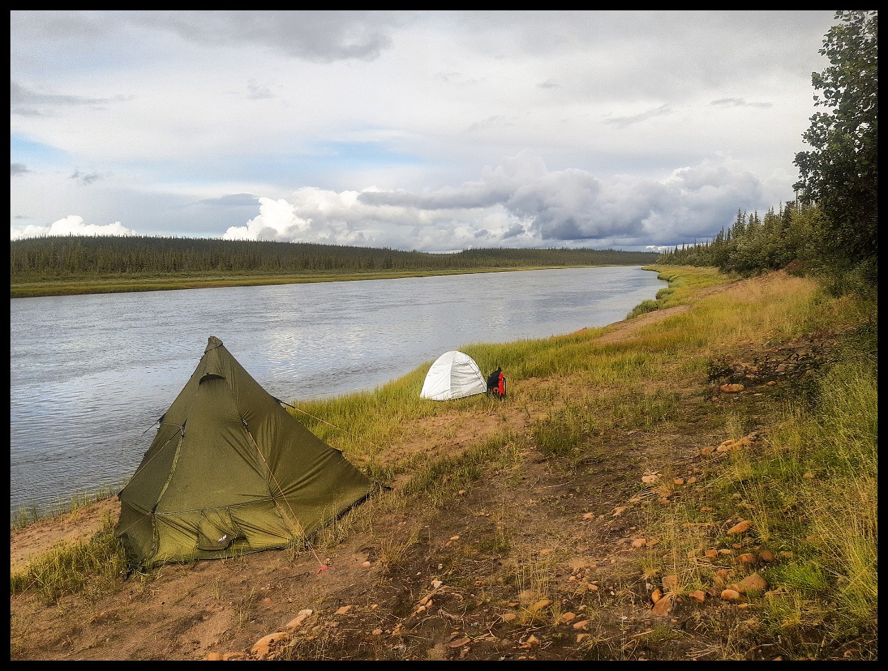
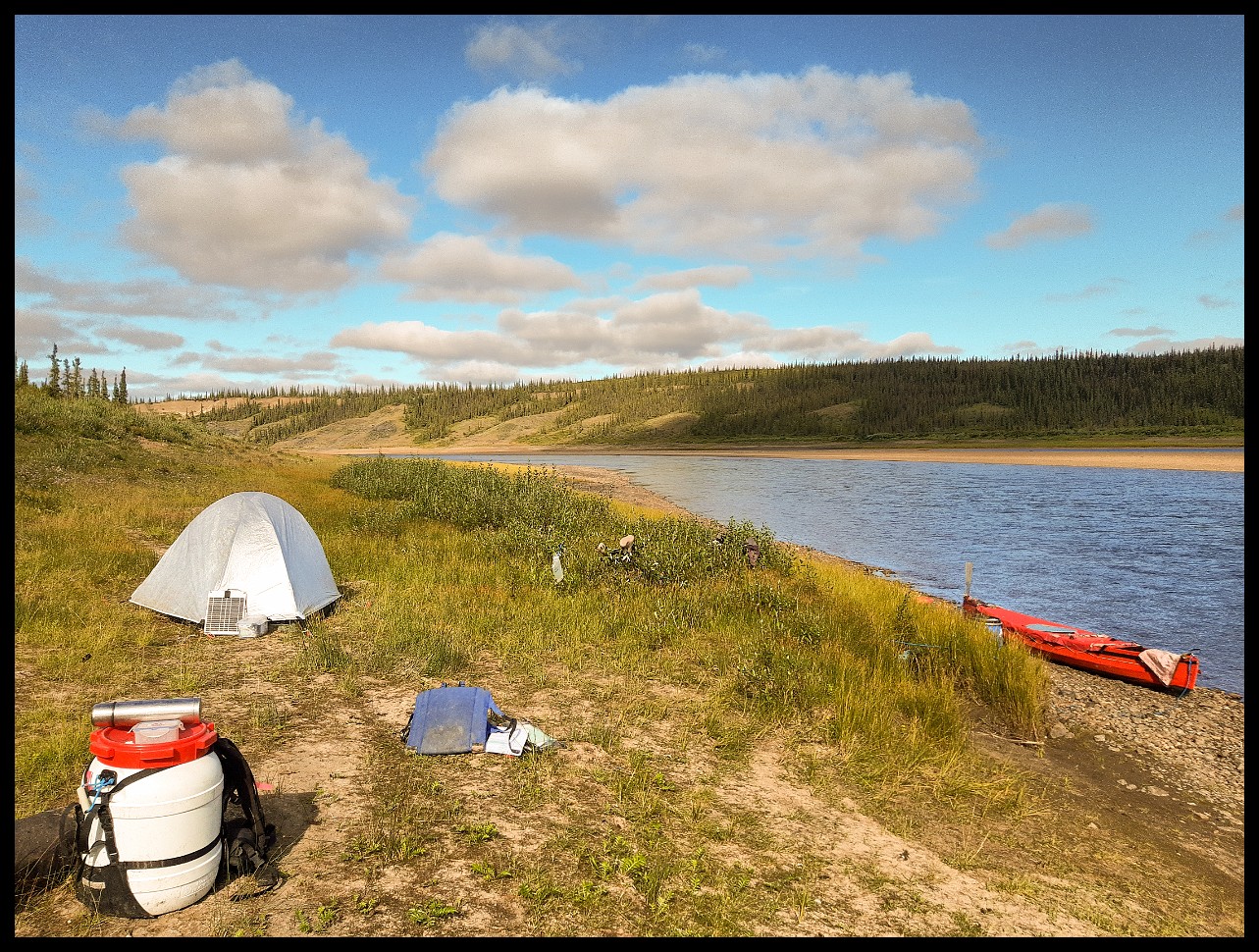
The outpost offers a great campsite though. Unlike most of the shoreline, which is heavily overgrown with brush.
Another good site, though accessing it through the dense shoreline scrub took some effort.
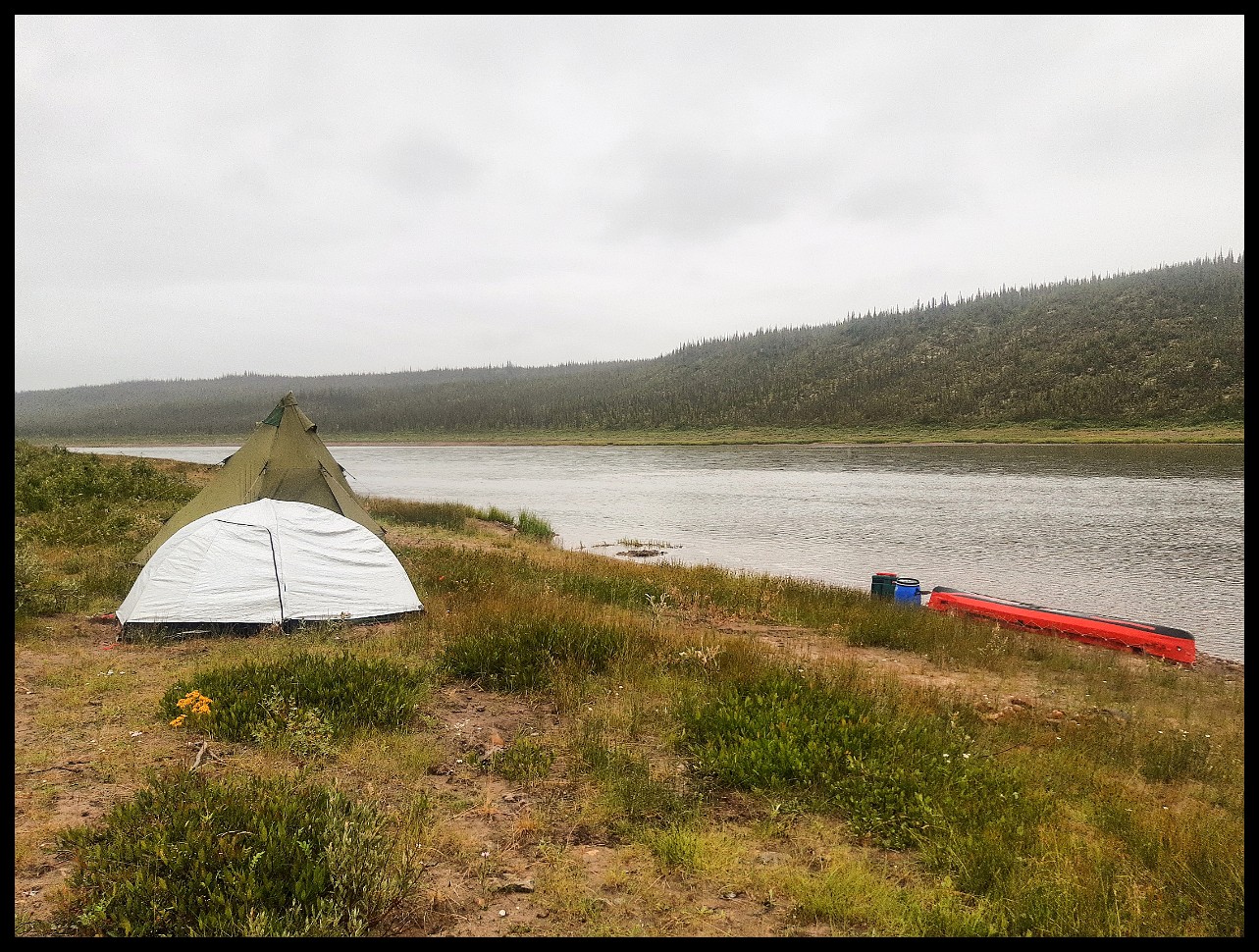
My "kitchen".
Emergency stop when headwinds became too much to handle. Minimal flat space and barely dry ground — but it worked.
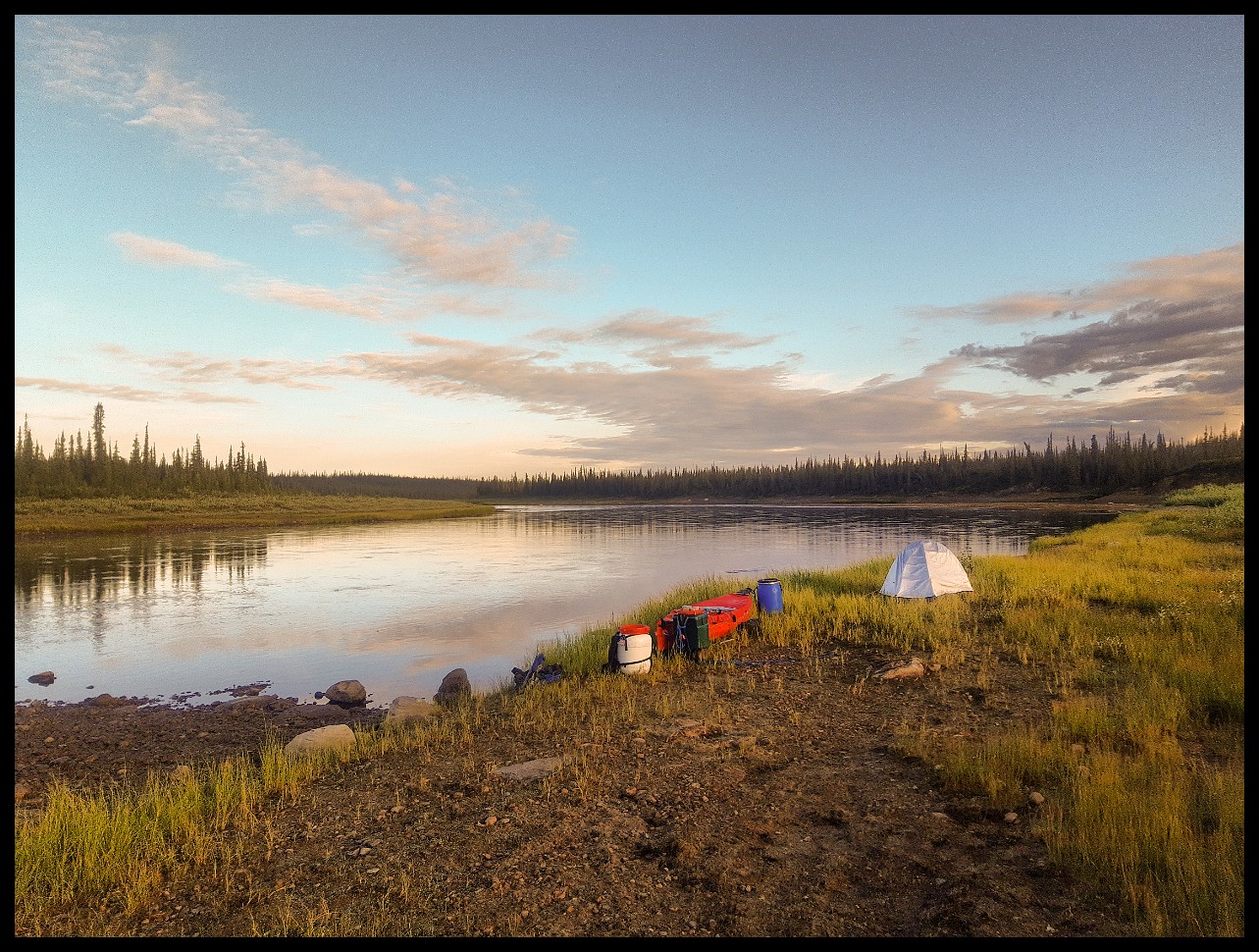
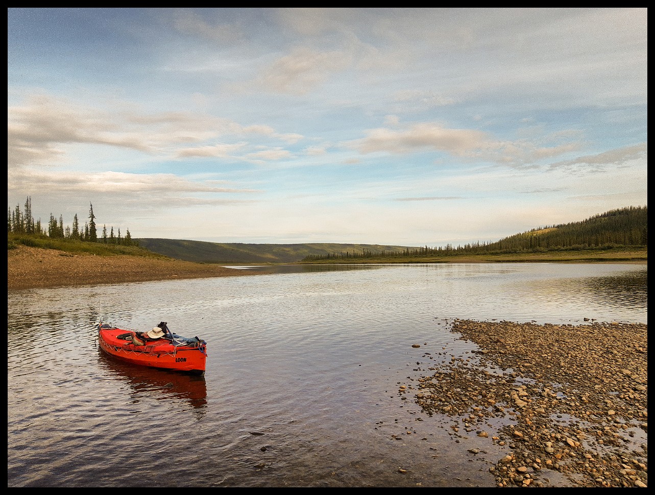
Rising early to make the most of the morning calm.
Drying out a shoe that desperately needed some glue.
I knew I had to tackle this unpleasant spot between Niwelin Lake and Gassend Lake, and wasn't looking forward to it. The bush is so dense that portaging an unwieldy canoe is almost out of the question. Like 14 years ago, semi-discharged, I barely made it through the spot at the bottom end of the far right channel. Should have portaged one more barrel.
You enter the rapid from river right.
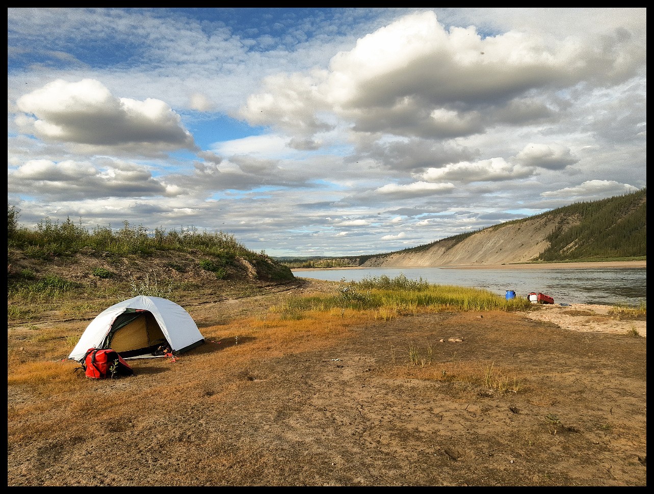
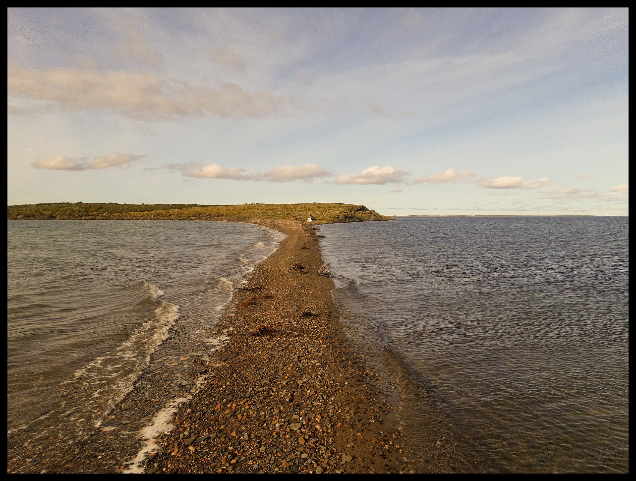
Last quality campsite on Gassend Lake, just before reaching the beautiful Ross River. Once you enter that river, finding decent camping is extremely difficult.
Ross River, a campsite nightmare.
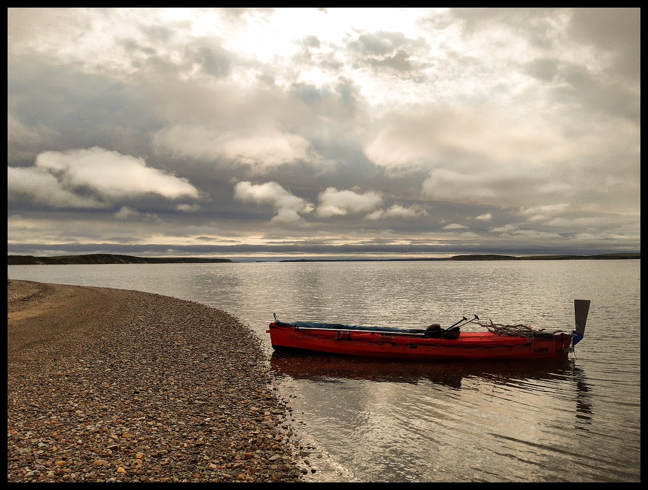
On the Anderson River proper.
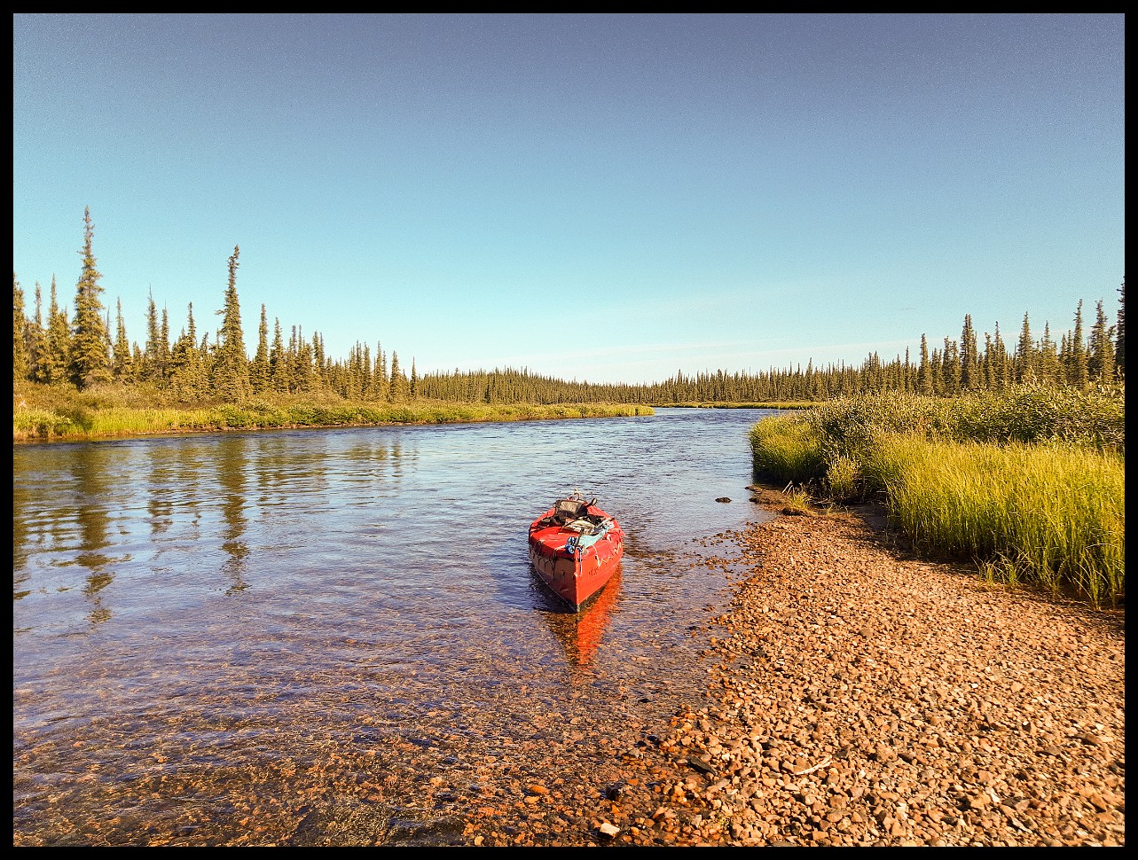
Just a short lift-over. Not much water, as usual for me.
Open riverbanks like this one.
Nearing the Anderson River Canyon.
From the same spot, looking downstream.
Wide and open again after the canyon.
Same location, looking downstream.
This looks like ice breakup damage rather than beaver work.
The previous shot was a close-up of the spruce tree on the right. Picture the water level reaching that height - and the forces involved - when a river jammed with ice breaks up and surges to the sea.
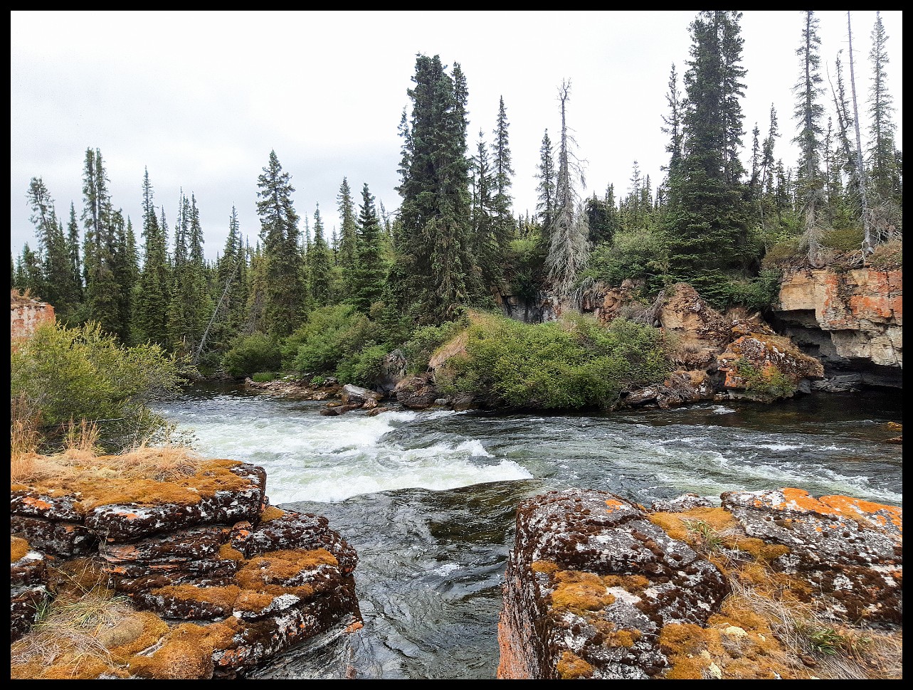
Limestone Rapids. Easy to stop nearby and lift over. But the entrance just upstream is a bit challenging.
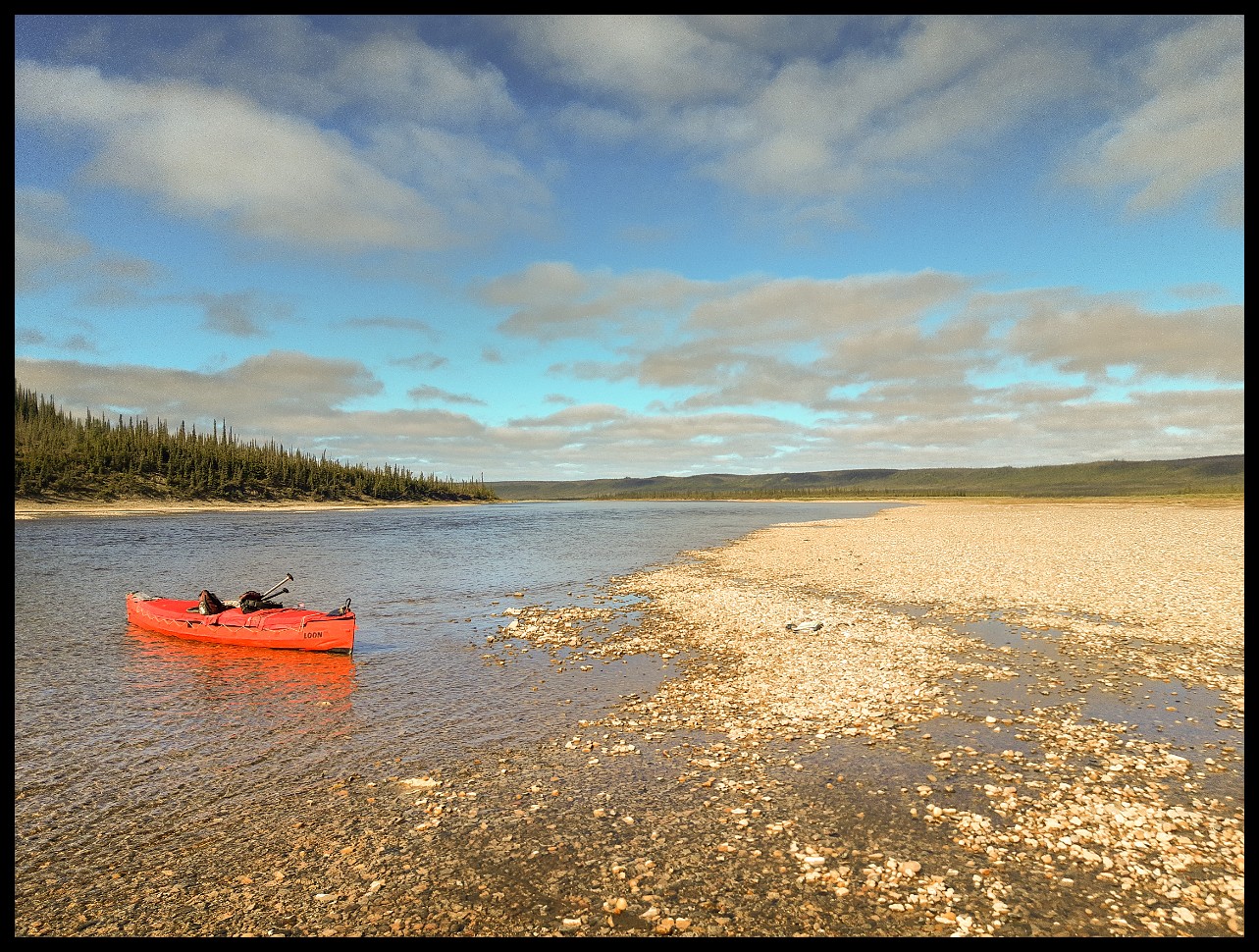
Lunch stop.
Low water levels. I wonder if climate change is playing out here.
Poor choice of campsite - rather too much sand. Realized my error promptly, but no other flat spot within reach.
Sand and wind make for an awful combination. A real test for tent zippers. Fine sand everywhere.
Windy Bend ahead.
Apologies for the poor resolution. A brain fade at Toronto airport security meant I had to fall back on my old Samsung Xcover 4 phone for pictures. Too embarrassing to get into here.
A bad camp spot. But no choice.
Muddy, rocky, and barely usable as a campsite.
Just before Husky Bend. Sand again, but no wind this time. Actually a decent campsite.
Approaching Wood Bay. Just a few more kilometers left to go.
With thick willows choking most of the shoreline, this clear spot was a blessing.
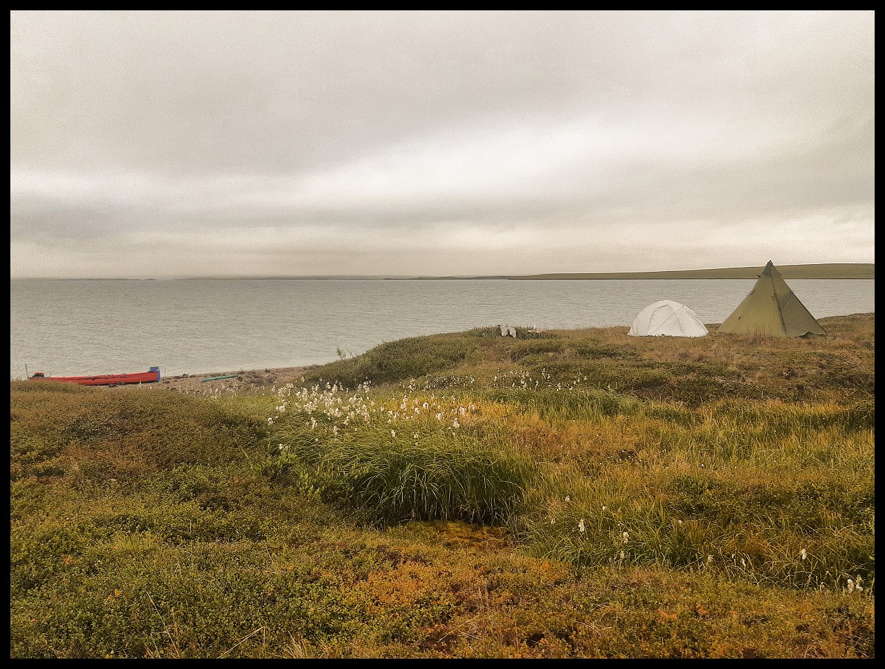
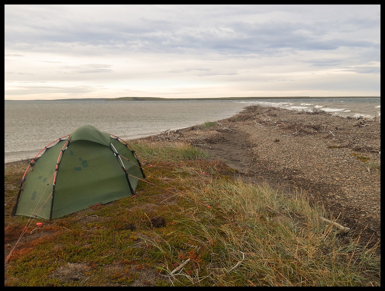
Final campsite before entering Wood Bay proper and the Beaufort Sea.
Heading NW requires close attention to tides. Don't attempt the crossing to Wood Bay's west shore on a falling tide. Extensive shallows will strand the unwary, as happened to me 14 years ago. It's a blessing to be able to consult one's own diary and map notes.
On Wood Bay.
Who built this massive log house way out here, where suitable timber is miles and miles away?
Where Wood Bay makes a sharp westward turn into Liverpool Bay.
This is the big prize: dead calm on Liverpool Bay, for days on end! When you're completely exposed to Arctic weather, conditions like these are priceless.
A trip report I carried described the stretch from Wood Bay to the Dempster Highway as a mental challenge. Absolutely true.
Still one lucky dude with regard to the weather, puttering along in his puny canoe.
Low tide meant a long haul across tidal flats to reach dry ground for camp.
Saw several of these small fish washed up. Wonder what happened.
Not a shoreline where you want to get windbound — potentially for days.
The southwest corner of Liverpool Bay.
Reaching the first of the Husky Lakes. Looking back at where I came from.
Same spot as before, contemplating what tomorrow might bring.
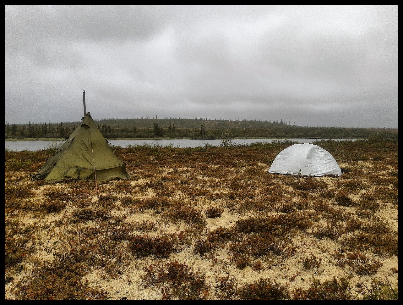
After the wind stopped all progress, I luckily found this wind-protected channel with a good camping spot.
The north side of the same island: waves rolling ashore. Not a shoreline one wants to be forced onto.
This area is absolutely vast — horizon to horizon, without a single landmark.
Close up of the picture before. White spot is my tent. Not another soul for miles.
Canoeing on saltwater makes drinking water an issue. Walked a long way to an inland lake to fetch some. The mosquitoes hadn't quit yet. This view looks back at my campsite — the two tiny specks left of centre on the shoreline.
Close-up of previous shot. Samsung camera at its limit.
Checking the situation around the same camp spot after discovering the envisioned lake contained brackish water – only noticed when trying to boil some at camp for tea after a heafty portage. Often, as seen here, saltwater finds a way to reach far inland. Lesson learned: no matter how far inland - take a sip before hauling the water back to camp!
The next day (August 22nd): off to check another inland lake for freshwater. Bugs still swarming!
On the way back after finally finding good freshwater. Red canoe sitting ashore right of centre.
No more sailing after the wind ceased.
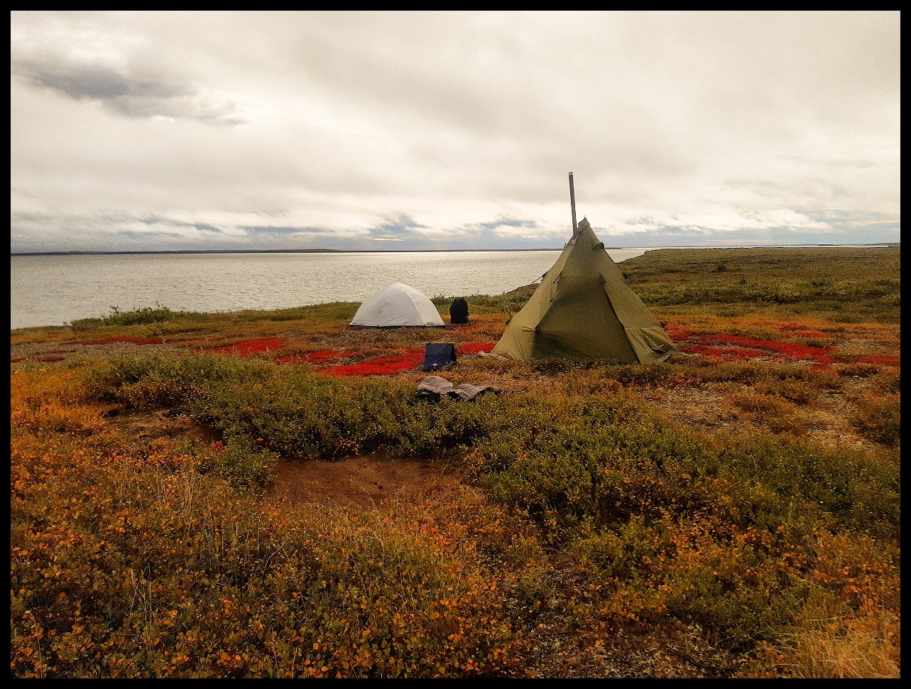
The first hints of autumn on the tundra.
Same spot. Camp to the far right.
Looking ahead to the next day's leg.
Taking shelter from the wind at suppertime.
An open-water crossing later in the day — not one to mess around with, so I stayed.
The first sparse willows and shrubs beginning to appear.
The next day a gale raged in full force. Windbound proper!
Gusts hitting 70-80 km/h. A serious test of the tents — and my nerves.
Third of the Husky Lakes, across from Saunatuk Lodge — uncertain if it's still operating.
The ongoing challenge: finding good drinking water yet again.
Not really what I was hoping for.
Finally — the following day brought crystal clear freshwater.
Found close to this cabin.
And thankfully they blasted a trail to the freshwater lake. Vegetation has become a real issue once again.
Spruce trees again!
But shorelines like this, for long stretches, make it challenging to access land for the night or in search of freshwater.
On Husky Lake numer four.
Stuck again as westerly gales rage across the water.
No fetch with offshore tailwind, yet the wind churned the water into chaos right offshore.
The stainless steel stovepipe giving in.
Barely 2 meters high, but this shoreline provided precious shelter from the gale.
A depressing sight: garbage littering the area around this cabin. Increased accessibility from the new Inuvik-Tuktoyaktuk Highway comes at a cost.
The one thing done right: solid bear deterrence with electric fencing.
But what a mess. Maybe they only use this site in winter when it's all covered up by snow?
Still no shelter in sight. All utterly exposed.
Back to an absolutely impenetrable shoreline. Be aware! To be in need of a campsite here would spell disaster.
Last camp after passing Bonnieville Point, headed toward the final reasonably short portage to the ITH highway.
Sadly, no one turned up to talk to.
The camp at the end of the portage, with the final small lake to cross before reaching the highway.
Looking back at the portage with the Husky Lake in the distance.
The better part of the portage.
And the final way down to the Lake.
Literally on the last step into the shoreline mud, the shoe gave out. Done! My glue job (the red patch) from early in the trip — after the shoe had dried out by the wood stove — was still fine. Crazy Glue — one of the few things that actually lives up to its name.
Inuvik-Tuktoyaktuk Highway camp. Back to traffic (roaring trucks!), noise and all those "goodies".
The ITH has changed everything. Fourteen years ago, getting from Sitidgi Lake to the Dempster Highway was an ordeal. Now I consider the trip from Colville Lake to Inuvik, one of the most affordable multi-week trips north of 60 — without the need for charter flights at either end. Colville Lake is accessible by scheduled flights.
Hitchhiking into town, with gear lined up along the highway. Standing here, I stuck out like a sore thumb. Two cars came by, about 15 minutes apart from each other. The first wasn't going to Inuvik, but the second driver stopped and gave me a ride. A sweet ending to quite a trip.
Somewhere in between when the driver had to stop for a pee.
Worth refaring a river after 10+ years? Absolutely. I was unsure if it wouldn't feel like déjà vu every day. Not at all—for me. From the multitude of vistas, I only had a vague mental image at very few spots before arriving—like the rapids out of Niwelin Lake, Limestone Rapid, the log cabin on Wood Bay, and maybe one or two more. The rest, 99%, felt like the first time. Or vice versa: some places I knew I'd inspected 14 years ago, like the site of former Fort Anderson, I didn't even recognize this time. And it was rather astounding that even after a good number of trips north of 60, the land's immensity is still utterly humbling.


: off to check another inland lake for freshwater. Bugs still swarming!")


 from early in the trip — after the shoe had dried out by the wood stove — was still fine. Crazy Glue — one of the few things that actually lives up to its name.")
, noise and all those \"goodies\".")


